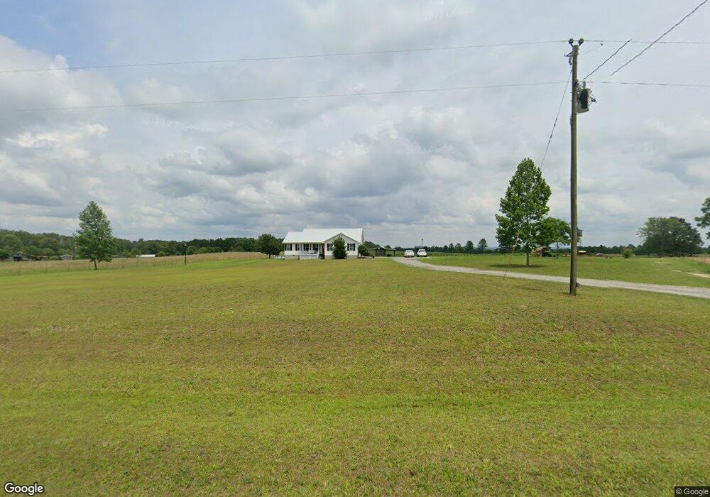
306 Milton Lowe Rd Reynolds, GA 31076
Estimated Value: $179,000 - $326,000
--
Bed
2
Baths
1,653
Sq Ft
$135/Sq Ft
Est. Value
About This Home
This home is located at 306 Milton Lowe Rd, Reynolds, GA 31076 and is currently estimated at $223,651, approximately $135 per square foot. 306 Milton Lowe Rd is a home located in Taylor County with nearby schools including Taylor County Upper Elementary School, Taylor County Primary School, and Taylor County Middle School.
Ownership History
Date
Name
Owned For
Owner Type
Purchase Details
Closed on
May 31, 2024
Sold by
Lowe Bryan Keith
Bought by
Lowe Bryan Keith
Current Estimated Value
Home Financials for this Owner
Home Financials are based on the most recent Mortgage that was taken out on this home.
Original Mortgage
$179,800
Outstanding Balance
$177,592
Interest Rate
7.22%
Mortgage Type
New Conventional
Estimated Equity
$46,059
Purchase Details
Closed on
Feb 28, 2007
Sold by
Lowe Anne Swearingen
Bought by
Lowe Bryan Keith
Purchase Details
Closed on
May 12, 1999
Sold by
Citizens State Bank
Bought by
Lowe Randolph M
Purchase Details
Closed on
Apr 6, 1999
Sold by
Lowe Randolph M
Bought by
Lowe Bryan Keith
Create a Home Valuation Report for This Property
The Home Valuation Report is an in-depth analysis detailing your home's value as well as a comparison with similar homes in the area
Home Values in the Area
Average Home Value in this Area
Purchase History
| Date | Buyer | Sale Price | Title Company |
|---|---|---|---|
| Lowe Bryan Keith | -- | -- | |
| Lowe Bryan Keith | -- | -- | |
| Lowe Randolph M | -- | -- | |
| Lowe Bryan Keith | -- | -- |
Source: Public Records
Mortgage History
| Date | Status | Borrower | Loan Amount |
|---|---|---|---|
| Open | Lowe Bryan Keith | $179,800 |
Source: Public Records
Tax History Compared to Growth
Tax History
| Year | Tax Paid | Tax Assessment Tax Assessment Total Assessment is a certain percentage of the fair market value that is determined by local assessors to be the total taxable value of land and additions on the property. | Land | Improvement |
|---|---|---|---|---|
| 2024 | $1,402 | $68,360 | $11,480 | $56,880 |
| 2023 | $1,117 | $51,880 | $6,920 | $44,960 |
| 2022 | $1,137 | $49,480 | $6,920 | $42,560 |
| 2021 | $1,025 | $45,560 | $5,760 | $39,800 |
| 2020 | $1,004 | $44,320 | $5,760 | $38,560 |
| 2019 | $1,020 | $44,320 | $5,760 | $38,560 |
| 2018 | $1,067 | $44,320 | $5,760 | $38,560 |
| 2017 | $1,018 | $44,800 | $7,013 | $37,787 |
| 2016 | $1,025 | $44,800 | $7,013 | $37,787 |
| 2015 | -- | $44,800 | $7,013 | $37,787 |
| 2014 | -- | $50,947 | $7,792 | $43,155 |
| 2013 | -- | $51,822 | $7,792 | $44,030 |
Source: Public Records
Map
Nearby Homes
- 60 Booker Montgomery Rd
- 0 Charlie Reeves Rd Unit 24268557
- 0 Charlie Reeves Rd Unit 24279256
- 0 Charlie Reeves Rd Unit 24268567
- 0 Charlie Reeves Rd Unit 21882758
- 0 Charlie Reeves Rd Unit 24279258
- 0 Charlie Reeves Rd Unit 24268563
- 0 Booker t Rd Unit 10631742
- 171 Thomas Rd
- 0 Briar Patch Way Unit 10546919
- 0 Thomas Rd
- 735 Pope Rd
- 785 Moncrief Rd
- 0 Howard Rd Unit 181148
- 0 Howard Rd Unit 10593302
- 0 Howard Rd Unit 255676
- 0 Hicks Rd Unit 23374480
- 7381 Whitaker Rd
- 717 Moncrief Rd
- 611 Moncrief Rd
- 305 Milton Lowe Rd
- 313 Milton Lowe Rd
- 294 Milton Lowe Rd
- 331 Milton Lowe Rd
- 0 Milton Lowe Rd Unit 7444076
- 0 Milton Lowe Rd Unit 7175923
- 0 Milton Lowe Rd
- 361 Milton Lowe Rd
- 341 Milton Lowe Rd
- 367 Milton Lowe Rd
- 233 Milton Lowe Rd
- 398 Milton Lowe Rd
- 38 Et Eubanks Rd
- 63 Et Eubanks Rd
- 57 Turner Estates Rd
- 171 Milton Lowe Rd
- 94 Et Eubanks Rd
- 2178 Roberta Hwy
- 2238 Roberta Hwy
- 2260 Roberta Hwy