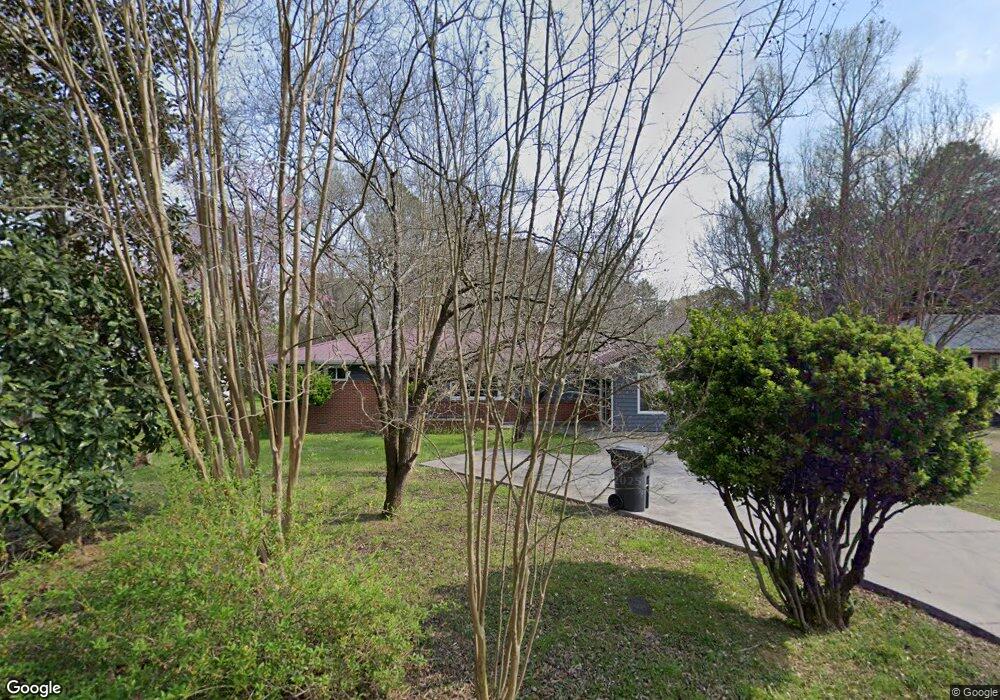
306 N Circle Dr La Fayette, GA 30728
Estimated Value: $208,868 - $252,000
3
Beds
1
Bath
1,550
Sq Ft
$152/Sq Ft
Est. Value
About This Home
This home is located at 306 N Circle Dr, La Fayette, GA 30728 and is currently estimated at $234,967, approximately $151 per square foot. 306 N Circle Dr is a home located in Walker County with nearby schools including North Lafayette Elementary School, Lafayette Middle School, and Lafayette High School.
Ownership History
Date
Name
Owned For
Owner Type
Purchase Details
Closed on
Jul 23, 2021
Sold by
Wilson Harold R
Bought by
Ferris Brandy L and Wilson Family Tr
Current Estimated Value
Purchase Details
Closed on
Jun 15, 1976
Sold by
Ransom Ii Wm M and Ransom Nancy L
Bought by
Wilson Harold R and Wilson Laura R
Purchase Details
Closed on
Jan 1, 1973
Sold by
Shepard Laura F
Bought by
Ransom Ii Wm M and Ransom Nancy L
Purchase Details
Closed on
Jan 1, 1972
Bought by
Shepard Laura F
Create a Home Valuation Report for This Property
The Home Valuation Report is an in-depth analysis detailing your home's value as well as a comparison with similar homes in the area
Home Values in the Area
Average Home Value in this Area
Purchase History
| Date | Buyer | Sale Price | Title Company |
|---|---|---|---|
| Ferris Brandy L | $105,018 | -- | |
| Wilson Harold R | $21,000 | -- | |
| Ransom Ii Wm M | -- | -- | |
| Shepard Laura F | -- | -- |
Source: Public Records
Tax History Compared to Growth
Tax History
| Year | Tax Paid | Tax Assessment Tax Assessment Total Assessment is a certain percentage of the fair market value that is determined by local assessors to be the total taxable value of land and additions on the property. | Land | Improvement |
|---|---|---|---|---|
| 2024 | $1,924 | $80,772 | $4,800 | $75,972 |
| 2023 | $1,748 | $71,225 | $4,800 | $66,425 |
| 2022 | $1,833 | $69,636 | $4,800 | $64,836 |
| 2021 | $479 | $42,007 | $4,800 | $37,207 |
| 2020 | $402 | $32,256 | $4,800 | $27,456 |
| 2019 | $402 | $32,256 | $4,800 | $27,456 |
| 2018 | $960 | $32,256 | $4,800 | $27,456 |
| 2017 | $1,013 | $32,256 | $4,800 | $27,456 |
| 2016 | $834 | $32,256 | $4,800 | $27,456 |
| 2015 | $1,017 | $37,153 | $4,800 | $32,353 |
| 2014 | $983 | $37,273 | $4,800 | $32,473 |
| 2013 | -- | $37,273 | $4,800 | $32,473 |
Source: Public Records
Map
Nearby Homes
- 214 East Ave
- 806 N Main St
- 1001 N Main St
- 114 Mallard Ln
- 0 Center St Unit 15 11492953
- 0 Center St Unit 16 11493665
- 0 Center St Unit 1517720
- 307 Park St
- 7552 Us Highway 27
- 0 Probasco St N Unit 1503555
- 1112 Probasco St N
- 105 Stanfield Rd
- 1129 Probasco St N
- 302 Brookwood Ln
- 1403 N Main St
- 79 Hobart Ln
- 15.56 ACRES Round Pond Rd
- 393 Wisteria Rd
- 307 Ridgecrest Dr
- 607 Gregory Ln