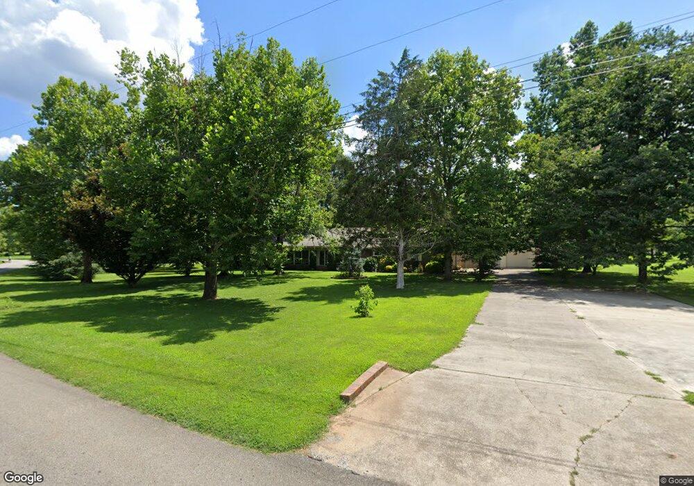
306 Powell St Gurley, AL 35748
Estimated Value: $339,000 - $409,537
5
Beds
3
Baths
2,600
Sq Ft
$146/Sq Ft
Est. Value
About This Home
This home is located at 306 Powell St, Gurley, AL 35748 and is currently estimated at $380,634, approximately $146 per square foot. 306 Powell St is a home located in Madison County with nearby schools including Central School and Madison County High School.
Ownership History
Date
Name
Owned For
Owner Type
Purchase Details
Closed on
Sep 18, 2024
Sold by
Holland Michelle W and Holland Phillip A
Bought by
Wright Michelle L and Holland Elijah
Current Estimated Value
Home Financials for this Owner
Home Financials are based on the most recent Mortgage that was taken out on this home.
Original Mortgage
$200,000
Outstanding Balance
$197,377
Interest Rate
6.09%
Mortgage Type
New Conventional
Estimated Equity
$183,257
Create a Home Valuation Report for This Property
The Home Valuation Report is an in-depth analysis detailing your home's value as well as a comparison with similar homes in the area
Home Values in the Area
Average Home Value in this Area
Purchase History
| Date | Buyer | Sale Price | Title Company |
|---|---|---|---|
| Wright Michelle L | $105,000 | None Listed On Document | |
| Wright Michelle L | $105,000 | None Listed On Document |
Source: Public Records
Mortgage History
| Date | Status | Borrower | Loan Amount |
|---|---|---|---|
| Open | Wright Michelle L | $200,000 | |
| Closed | Wright Michelle L | $200,000 |
Source: Public Records
Tax History Compared to Growth
Tax History
| Year | Tax Paid | Tax Assessment Tax Assessment Total Assessment is a certain percentage of the fair market value that is determined by local assessors to be the total taxable value of land and additions on the property. | Land | Improvement |
|---|---|---|---|---|
| 2024 | $1,055 | $29,600 | $3,500 | $26,100 |
| 2023 | $1,022 | $29,600 | $3,500 | $26,100 |
| 2022 | $876 | $25,520 | $2,500 | $23,020 |
| 2021 | $777 | $22,800 | $2,500 | $20,300 |
| 2020 | $703 | $20,770 | $2,500 | $18,270 |
| 2019 | $678 | $20,090 | $2,500 | $17,590 |
| 2018 | $651 | $19,360 | $0 | $0 |
| 2017 | $633 | $18,860 | $0 | $0 |
| 2016 | $633 | $18,860 | $0 | $0 |
| 2015 | $633 | $18,860 | $0 | $0 |
| 2014 | $626 | $18,680 | $0 | $0 |
Source: Public Records
Map
Nearby Homes
- 107 Nolan Dr
- 102 Peyton Cir
- 2906 Gurley Pike
- 211 Powell St
- 218 Powell St
- 172 Day Dr
- 216 Grasslands Rd
- 221 Grasslands Rd
- 235 Grasslands Rd
- 1519 Ryland Pike
- 309 Gilliam Rd
- 0 Gilliam Rd
- 3608 Maysville Rd NE
- 111 Cool Cir
- 483 Moontown Rd
- PPin#507136 Moontown Rd
- 477 Moontown Rd
- 233 Oakland View Dr
- 116 A F Smith Rd
- 362 Moontown Rd
- 308 Powell St
- 304 Powell St
- 123 Elvis Presley Blvd
- 305 Powell St
- 310 Powell St
- 122 Elvis Presley Blvd
- 302 Powell St
- 106 Nolan Dr
- 121 Elvis Presley Blvd
- 114 Rich Dr
- 108 Nolan Dr
- 104 Nolan Dr
- 312 Powell St
- 303 Powell St
- 112 Rich Dr
- 110 Nolan Dr
- 120 Elvis Presley Blvd
- 119 Elvis Presley Blvd
- 113 Rich Dr
- 112 Nolan Dr