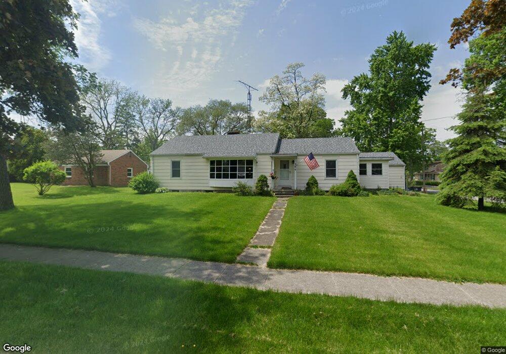
306 S Enterprise St Bowling Green, OH 43402
Estimated Value: $179,000 - $212,383
3
Beds
2
Baths
1,296
Sq Ft
$152/Sq Ft
Est. Value
About This Home
This home is located at 306 S Enterprise St, Bowling Green, OH 43402 and is currently estimated at $196,346, approximately $151 per square foot. 306 S Enterprise St is a home located in Wood County with nearby schools including Bowling Green High School, Montessori School Of Bowling Green, and Bowling Green Christian Academy.
Ownership History
Date
Name
Owned For
Owner Type
Purchase Details
Closed on
Jul 27, 1979
Bought by
Harris James E
Current Estimated Value
Create a Home Valuation Report for This Property
The Home Valuation Report is an in-depth analysis detailing your home's value as well as a comparison with similar homes in the area
Home Values in the Area
Average Home Value in this Area
Purchase History
| Date | Buyer | Sale Price | Title Company |
|---|---|---|---|
| Harris James E | $52,700 | -- |
Source: Public Records
Tax History Compared to Growth
Tax History
| Year | Tax Paid | Tax Assessment Tax Assessment Total Assessment is a certain percentage of the fair market value that is determined by local assessors to be the total taxable value of land and additions on the property. | Land | Improvement |
|---|---|---|---|---|
| 2024 | $2,371 | $54,985 | $8,995 | $45,990 |
| 2023 | $2,371 | $54,990 | $9,000 | $45,990 |
| 2021 | $1,864 | $43,050 | $7,490 | $35,560 |
| 2020 | $1,857 | $43,050 | $7,490 | $35,560 |
| 2019 | $1,815 | $39,830 | $7,490 | $32,340 |
| 2018 | $1,804 | $39,830 | $7,490 | $32,340 |
| 2017 | $1,783 | $39,830 | $7,490 | $32,340 |
| 2016 | $1,409 | $31,330 | $7,880 | $23,450 |
| 2015 | $1,409 | $31,330 | $7,880 | $23,450 |
| 2014 | $1,462 | $31,330 | $7,880 | $23,450 |
| 2013 | $1,498 | $29,820 | $7,490 | $22,330 |
Source: Public Records
Map
Nearby Homes
- Lot 41 S Prospect St
- Lot 40 S Prospect St
- Lot 36 S Prospect St
- 608 S Summit St
- 448 S Church St
- 629 S Summit St
- 518 S Grove St
- 210 W Wooster St
- 545 Wallace Ave
- 519 Knollwood Dr
- 0 Haskins Rd Unit 6132516
- 893 W Wooster St
- 4 Mackenzie Ct
- 733 Conneaut Ave
- 7 Augusta Dr Unit 7
- 29 Darlyn Dr
- 1024 Clark St
- 1048 N Main St
- 14580 Sand Ridge Rd
- 14732 Sand Ridge Rd
- 312 Gould St
- 270 S Enterprise St
- 318 S Enterprise St
- 307 S Summit St
- 311 S Summit St
- 311 N Enterprise St
- 260 S Enterprise St
- 303 S Summit St
- 319 S Summit St
- 267 S Summit St
- 305 S Enterprise St
- 311 S Enterprise St
- 315 S Enterprise St
- 254 S Enterprise St
- 333 S Enterprise St
- 267 S Enterprise St
- 261 S Summit St
- 321 S Enterprise St
- 263 S Enterprise St
- 250 S Enterprise St