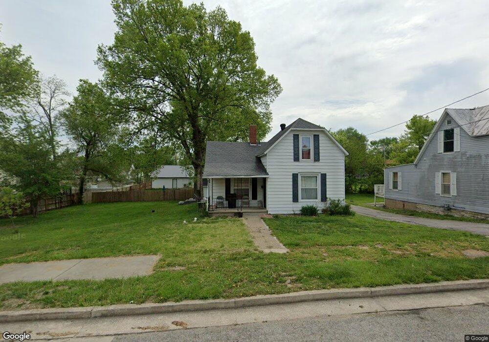
306 S High St California, MO 65018
Estimated Value: $137,829 - $186,000
Studio
--
Bath
1,380
Sq Ft
$115/Sq Ft
Est. Value
About This Home
This home is located at 306 S High St, California, MO 65018 and is currently estimated at $158,957, approximately $115 per square foot. 306 S High St is a home located in Moniteau County with nearby schools including California Elementary School, California Middle School, and California High School.
Ownership History
Date
Name
Owned For
Owner Type
Purchase Details
Closed on
May 12, 2016
Sold by
Cardoso Diego and Juarez Ceron Katherine
Bought by
Cardoso Elizabeth
Current Estimated Value
Purchase Details
Closed on
Jun 30, 2010
Sold by
Wolfe Rebecca M and Wolfe Ryan P
Bought by
Cardoso Diego and Cardoso Socorro Ambriz De
Home Financials for this Owner
Home Financials are based on the most recent Mortgage that was taken out on this home.
Original Mortgage
$25,000
Outstanding Balance
$16,493
Interest Rate
4.81%
Mortgage Type
Future Advance Clause Open End Mortgage
Estimated Equity
$142,464
Create a Home Valuation Report for This Property
The Home Valuation Report is an in-depth analysis detailing your home's value as well as a comparison with similar homes in the area
Home Values in the Area
Average Home Value in this Area
Purchase History
| Date | Buyer | Sale Price | Title Company |
|---|---|---|---|
| Cardoso Elizabeth | -- | None Available | |
| Cardoso Diego | -- | None Available |
Source: Public Records
Mortgage History
| Date | Status | Borrower | Loan Amount |
|---|---|---|---|
| Open | Cardoso Diego | $25,000 |
Source: Public Records
Tax History
| Year | Tax Paid | Tax Assessment Tax Assessment Total Assessment is a certain percentage of the fair market value that is determined by local assessors to be the total taxable value of land and additions on the property. | Land | Improvement |
|---|---|---|---|---|
| 2025 | $439 | $8,060 | $0 | $0 |
| 2024 | $382 | $7,070 | $0 | $0 |
| 2023 | $381 | $7,070 | $0 | $0 |
| 2022 | $382 | $7,070 | $0 | $0 |
| 2021 | $2,834 | $7,070 | $0 | $0 |
| 2020 | $408 | $7,490 | $0 | $0 |
| 2019 | $407 | $7,490 | $0 | $0 |
| 2018 | $403 | $7,490 | $0 | $0 |
| 2017 | $394 | $10,810 | $550 | $10,260 |
| 2016 | $402 | $7,490 | $0 | $0 |
| 2011 | -- | $7,490 | $0 | $0 |
Source: Public Records
Map
Nearby Homes
- 203 S High St
- 0 E Buchanan St
- 700 W Patrick St
- 802 S Oak St
- 409 W Buchanan St
- 295 W Prospect St
- 1008 S Roache St
- 603 N Oak St
- 608 Terrace Dr
- 505 Ryan Ave
- 404 E Mulberry St
- 202 W Mulberry St
- 807 Country Meadows St
- 705 S Cooper St
- 0 Linda Ln
- 803 N Oak St
- 911 Country Meadow St Unit A
- 709 N Noas Ave
- 0 Quail Hollow Dr
- 0 Tract 3 Country Meadows
Your Personal Tour Guide
Ask me questions while you tour the home.