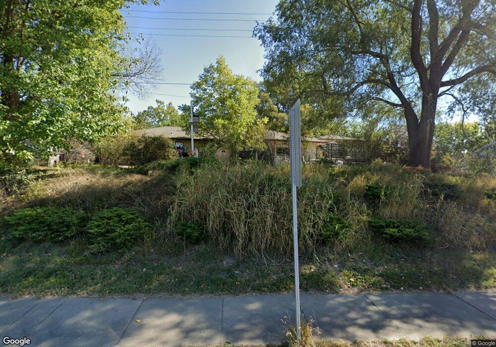
306 S State Route 7 Pleasant Hill, MO 64080
Estimated Value: $276,000 - $322,000
4
Beds
2
Baths
2,572
Sq Ft
$114/Sq Ft
Est. Value
About This Home
This home is located at 306 S State Route 7, Pleasant Hill, MO 64080 and is currently estimated at $292,464, approximately $113 per square foot. 306 S State Route 7 is a home located in Cass County with nearby schools including Pleasant Hill Primary School, Pleasant Hill Elementary School, and Pleasant Hill Middle School.
Ownership History
Date
Name
Owned For
Owner Type
Purchase Details
Closed on
Oct 12, 2022
Sold by
Totton William E and Totton Sue
Bought by
Totton William E and Totton Sue
Current Estimated Value
Purchase Details
Closed on
Apr 15, 2005
Sold by
Edmonsond David B
Bought by
Totton William E and Totton Sue
Home Financials for this Owner
Home Financials are based on the most recent Mortgage that was taken out on this home.
Original Mortgage
$44,500
Interest Rate
5.78%
Mortgage Type
New Conventional
Create a Home Valuation Report for This Property
The Home Valuation Report is an in-depth analysis detailing your home's value as well as a comparison with similar homes in the area
Home Values in the Area
Average Home Value in this Area
Purchase History
| Date | Buyer | Sale Price | Title Company |
|---|---|---|---|
| Totton William E | -- | None Listed On Document | |
| Totton William E | -- | -- |
Source: Public Records
Mortgage History
| Date | Status | Borrower | Loan Amount |
|---|---|---|---|
| Previous Owner | Totton William E | $44,500 |
Source: Public Records
Tax History Compared to Growth
Tax History
| Year | Tax Paid | Tax Assessment Tax Assessment Total Assessment is a certain percentage of the fair market value that is determined by local assessors to be the total taxable value of land and additions on the property. | Land | Improvement |
|---|---|---|---|---|
| 2024 | $1,919 | $26,610 | $3,950 | $22,660 |
| 2023 | $1,905 | $26,610 | $3,950 | $22,660 |
| 2022 | $1,696 | $23,240 | $3,950 | $19,290 |
| 2021 | $1,649 | $23,240 | $3,950 | $19,290 |
| 2020 | $1,546 | $22,320 | $3,950 | $18,370 |
| 2019 | $1,526 | $22,320 | $3,950 | $18,370 |
| 2018 | $1,364 | $19,690 | $3,160 | $16,530 |
| 2017 | $1,309 | $19,690 | $3,160 | $16,530 |
| 2016 | $1,309 | $18,820 | $3,160 | $15,660 |
| 2015 | $1,326 | $18,820 | $3,160 | $15,660 |
| 2014 | $1,332 | $18,820 | $3,160 | $15,660 |
| 2013 | -- | $18,820 | $3,160 | $15,660 |
Source: Public Records
Map
Nearby Homes
- 313 Clearview Dr
- 802 Pine St
- 0 Route 7
- 213 Sitter St
- 201 Sitter St
- 0 Locust St
- 204 Lexington Rd
- 207 Lexington Rd
- 1700 Mulberry St
- 1704 Mulberry St
- 105 N Campbell St
- 1209 Crest Dr
- 501 Lexington Rd
- 122 N Taylor St
- 502 N Armstrong St
- 505 Olive St
- 1528 Champion Dr Unit 1530
- 418 N Taylor St
- 1413 Country Club Dr
- 218 N Boardman St
- 314 S State Route 7
- 309 N State Route 7
- 1102 Broadway St
- 400 S State Route 7
- 305 Clearview Dr
- 303 Clearview Dr
- 1101 Broadway St
- 301 Clearview Dr
- 402 S State Route 7
- 1006 Washington St
- 309 Clearview Dr
- 306 Cline St
- 304 Cline St
- 1002 Broadway St
- 302 Cline St
- 308 Cline St
- 401 S State Route 7
- 311 Clearview Dr
- 310 Cline St
- 300 Cline St