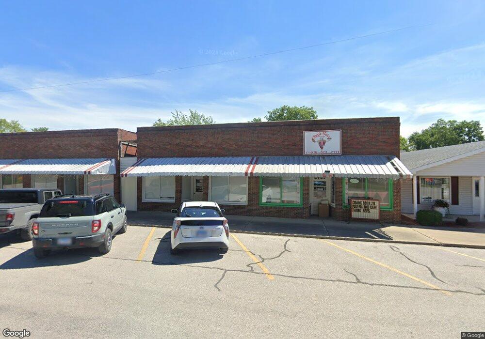
Estimated Value: $103,594
Studio
--
Bath
1,424
Sq Ft
$73/Sq Ft
Est. Value
About This Home
This home is located at 306 Simpson St, Cisne, IL 62823 and is currently estimated at $103,594, approximately $72 per square foot. 306 Simpson St is a home located in Wayne County with nearby schools including Cisne High School.
Ownership History
Date
Name
Owned For
Owner Type
Purchase Details
Closed on
Apr 5, 2024
Sold by
Cartright Patty K
Bought by
Vaughan Jason R and Vaughen Richard M
Current Estimated Value
Purchase Details
Closed on
May 26, 2022
Sold by
Pizza Bs Llc
Bought by
Cartright Patty K
Home Financials for this Owner
Home Financials are based on the most recent Mortgage that was taken out on this home.
Original Mortgage
$63,325
Interest Rate
5.23%
Mortgage Type
Construction
Create a Home Valuation Report for This Property
The Home Valuation Report is an in-depth analysis detailing your home's value as well as a comparison with similar homes in the area
Purchase History
| Date | Buyer | Sale Price | Title Company |
|---|---|---|---|
| Vaughan Jason R | $95,000 | Attorney Only | |
| Cartright Patty K | $65,000 | Attorney Only |
Source: Public Records
Mortgage History
| Date | Status | Borrower | Loan Amount |
|---|---|---|---|
| Previous Owner | Cartright Patty K | $63,325 |
Source: Public Records
Tax History
| Year | Tax Paid | Tax Assessment Tax Assessment Total Assessment is a certain percentage of the fair market value that is determined by local assessors to be the total taxable value of land and additions on the property. | Land | Improvement |
|---|---|---|---|---|
| 2024 | $456 | $7,109 | $2,094 | $5,015 |
| 2023 | $464 | $6,324 | $1,863 | $4,461 |
| 2022 | $452 | $6,127 | $1,805 | $4,322 |
| 2021 | $430 | $5,329 | $1,391 | $3,938 |
| 2020 | $434 | $5,329 | $1,391 | $3,938 |
| 2019 | $454 | $5,345 | $1,395 | $3,950 |
| 2018 | $474 | $5,345 | $1,395 | $3,950 |
| 2017 | $490 | $5,345 | $1,395 | $3,950 |
| 2015 | $500 | $5,345 | $1,395 | $3,950 |
| 2014 | $483 | $5,120 | $1,335 | $3,785 |
| 2013 | $442 | $4,705 | $1,225 | $3,480 |
Source: Public Records
Map
Nearby Homes
- 405 Park St
- 000 1325e
- 000 County Road 2100n
- 707 Mulberry St
- 100 Church St
- 105 S Watkins St
- 103 S Watkins St
- 101 S Watkins St
- 901 Central Ave
- 233 US Highway 45
- 000 1325 N County Rd
- 000 County Road 2100 N County Rd
- 1767 County Road 1125 E
- 1656 County Road 1125e
- 000 County 7 Hwy
- 0 County Road 1775 E
- 1352 County Road 1175
- 236 W Wayne St
- 214 S Washington St
- 265 N Mulberry St
- 205 Mulberry St
- 209 Mulberry St
- 301 Mulberry St
- 303 Mulberry St
- 404 Simpson St
- 302 Mulberry St
- 200 Park St
- 100 Park St
- 104 Park St
- 300 Park St
- 207 Mulberry St
- 102 Park St
- 0 Intersection of Rt 1 and 1875n Unit 10830809
- 0 Intersection of Rt 1 and 1875n Unit 19008868
- 202 Park St
- 1050 East St
- 1488 County Road 865 E
- 1652 County Road 1325 E
- 204 Park St
- 300 S Milner St
