306 Smith Haskell Rd Benton, AR 72015
Estimated Value: $223,000 - $291,000
Studio
--
Bath
1,649
Sq Ft
$153/Sq Ft
Est. Value
About This Home
This home is located at 306 Smith Haskell Rd, Benton, AR 72015 and is currently estimated at $252,256, approximately $152 per square foot. 306 Smith Haskell Rd is a home with nearby schools including Westbrook Elementary School, Harmony Grove Middle School, and Harmony Grove High School.
Ownership History
Date
Name
Owned For
Owner Type
Purchase Details
Closed on
Oct 7, 2020
Sold by
Westbrook Monica D
Bought by
Westbrook Joshua S
Current Estimated Value
Home Financials for this Owner
Home Financials are based on the most recent Mortgage that was taken out on this home.
Original Mortgage
$160,500
Outstanding Balance
$142,109
Interest Rate
2.9%
Mortgage Type
New Conventional
Estimated Equity
$110,147
Purchase Details
Closed on
Dec 17, 2015
Sold by
Westbrook Bobby L and Westbrook Margaret O
Bought by
Westbrook Joshua S and Westbrook Monica D
Create a Home Valuation Report for This Property
The Home Valuation Report is an in-depth analysis detailing your home's value as well as a comparison with similar homes in the area
Home Values in the Area
Average Home Value in this Area
Purchase History
| Date | Buyer | Sale Price | Title Company |
|---|---|---|---|
| Westbrook Joshua S | -- | None Listed On Document | |
| Westbrook Joshua S | -- | None Listed On Document | |
| Westbrook Joshua S | -- | None Available |
Source: Public Records
Mortgage History
| Date | Status | Borrower | Loan Amount |
|---|---|---|---|
| Open | Westbrook Joshua S | $160,500 | |
| Closed | Westbrook Joshua S | $160,500 |
Source: Public Records
Tax History
| Year | Tax Paid | Tax Assessment Tax Assessment Total Assessment is a certain percentage of the fair market value that is determined by local assessors to be the total taxable value of land and additions on the property. | Land | Improvement |
|---|---|---|---|---|
| 2025 | $2,075 | $48,350 | $4,160 | $44,190 |
| 2024 | $1,980 | $53,665 | $4,160 | $49,505 |
| 2023 | $1,560 | $53,665 | $4,160 | $49,505 |
| 2022 | $1,520 | $53,665 | $4,160 | $49,505 |
| 2021 | $1,433 | $30,490 | $2,600 | $27,890 |
| 2020 | $1,433 | $30,490 | $2,600 | $27,890 |
| 2019 | $1,348 | $30,490 | $2,600 | $27,890 |
| 2018 | $1,208 | $27,580 | $2,600 | $24,980 |
| 2017 | $1,208 | $27,580 | $2,600 | $24,980 |
| 2016 | $68 | $1,200 | $1,200 | $0 |
Source: Public Records
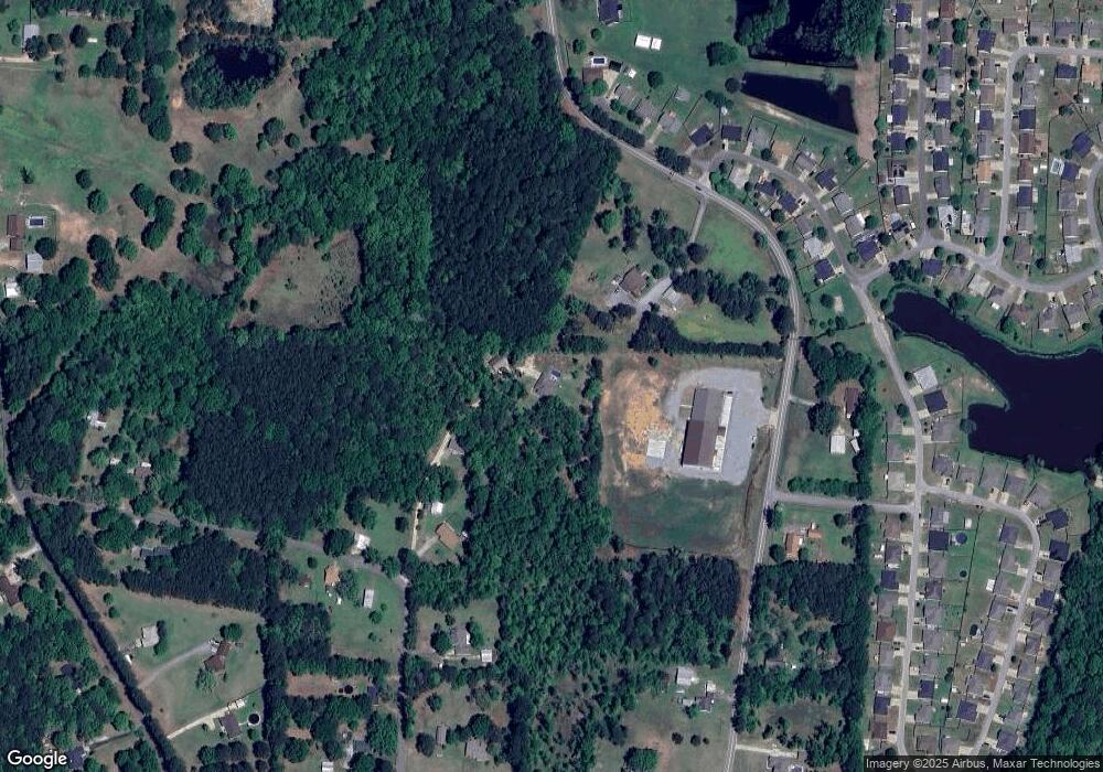
Map
Nearby Homes
- 350 Meadow Creek Dr
- 1994 Carla Way
- 370 Meadow Creek Dr
- 000 Opitz Rd
- 31 W Elm Haskell St
- 815 Graham Rd
- 810 Troutman Rd
- 3512 Sorrell Ln
- 401 Aden Ave
- 114 Hayes Haskell St
- 1310 Caroline Cove
- 1019 Grand Ave
- 1164 Tulip Haskell St
- 000 Desi Ln
- 5017 Rolling Meadow Loop
- 5086 Oklahoma Inn Rd
- Oklahoma Inn Rd
- 0000 Deer Creek Rd
- 109 Riveria Cove
- 0 Oklahoma Inn Rd Unit 24728946
- 4255 S Highway 229
- 302 E Smith Rd
- 702 W Smith St
- 0 Hwy 229 Unit 15024799
- 0 Hwy 229 Unit 16035110
- 0 Hwy 229 Unit 20026296
- 0 Hwy 229 Unit 22010769
- 109 Timber Lake Dr
- 229 Road
- 109 Timberlake Dr
- 318 Smith Haskell Rd
- 111 Timber Lake Dr
- 4612 S Highway 229
- 104 Timberlake Dr
- 119 Timber Lake Dr
- 111 Timberlake Dr
- 117 Timber Lake Dr
- 104 Timber Lake Dr
- 113 Timber Lake Dr
- 101 Highlander Cir