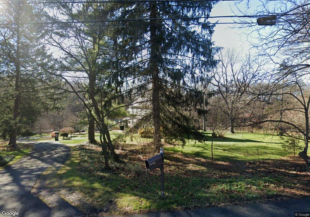
306 State Route 173 Stewartsville, NJ 08886
Estimated Value: $312,000 - $767,000
--
Bed
--
Bath
3,724
Sq Ft
$163/Sq Ft
Est. Value
About This Home
This home is located at 306 State Route 173, Stewartsville, NJ 08886 and is currently estimated at $605,538, approximately $162 per square foot. 306 State Route 173 is a home with nearby schools including Greenwich Elementary School, Stewartsville Middle School, and Sts. Philip & James School.
Ownership History
Date
Name
Owned For
Owner Type
Purchase Details
Closed on
Jul 8, 2013
Sold by
Hampton F Malissa
Bought by
Cotz Lydia B
Current Estimated Value
Purchase Details
Closed on
Jan 12, 2006
Sold by
Hampton F Malissa and Albert Weaver F
Bought by
Hampton F Malissa
Home Financials for this Owner
Home Financials are based on the most recent Mortgage that was taken out on this home.
Original Mortgage
$303,000
Interest Rate
5.25%
Mortgage Type
Fannie Mae Freddie Mac
Purchase Details
Closed on
Aug 28, 2001
Sold by
Hampton F Malissa and Albert Weaver F
Bought by
Hampton F Malissa and Albert Weaver F
Purchase Details
Closed on
Aug 25, 1997
Sold by
Lehr Pauline E
Bought by
Hampton F Malissa and Albert Weaver F
Home Financials for this Owner
Home Financials are based on the most recent Mortgage that was taken out on this home.
Original Mortgage
$120,000
Interest Rate
6.93%
Create a Home Valuation Report for This Property
The Home Valuation Report is an in-depth analysis detailing your home's value as well as a comparison with similar homes in the area
Home Values in the Area
Average Home Value in this Area
Purchase History
| Date | Buyer | Sale Price | Title Company |
|---|---|---|---|
| Cotz Lydia B | $640,000 | None Available | |
| Hampton F Malissa | $225,000 | None Available | |
| Hampton F Malissa | -- | -- | |
| Hampton F Malissa | $325,000 | -- |
Source: Public Records
Mortgage History
| Date | Status | Borrower | Loan Amount |
|---|---|---|---|
| Previous Owner | Hampton F Malissa | $303,000 | |
| Previous Owner | Hampton F Malissa | $120,000 |
Source: Public Records
Tax History Compared to Growth
Tax History
| Year | Tax Paid | Tax Assessment Tax Assessment Total Assessment is a certain percentage of the fair market value that is determined by local assessors to be the total taxable value of land and additions on the property. | Land | Improvement |
|---|---|---|---|---|
| 2025 | $14,139 | $354,900 | $95,600 | $259,300 |
| 2024 | $12,780 | $354,900 | $95,600 | $259,300 |
| 2023 | $12,329 | $354,900 | $95,600 | $259,300 |
| 2022 | $12,329 | $354,900 | $95,600 | $259,300 |
| 2021 | $12,045 | $354,900 | $95,600 | $259,300 |
| 2020 | $11,825 | $354,900 | $95,600 | $259,300 |
| 2019 | $16,705 | $515,900 | $112,500 | $403,400 |
| 2018 | $16,705 | $515,900 | $112,500 | $403,400 |
| 2017 | $16,591 | $515,900 | $112,500 | $403,400 |
| 2016 | $16,385 | $515,900 | $112,500 | $403,400 |
| 2015 | $16,081 | $515,900 | $112,500 | $403,400 |
| 2014 | $14,735 | $465,400 | $62,000 | $403,400 |
Source: Public Records
Map
Nearby Homes
- 204 Aldin Rd
- 101 Parker Rd
- 333 Greens Ridge Rd
- 103 Roberts Place
- 908 Maple Dr
- 705 Warren Glen Rd
- 668 S Main St Unit 1
- 1508 West Ave
- 2141 New Village Rd
- 104 Fox Run Rd
- 1 Woodland Terrace
- 63 Main St
- 1508 Megan Cir
- 1004 Valerie Place
- 177 County Road 519
- 507 Ohio Ave
- 80-84 County Road 519
- 0 Mellicks Woods Rd
- 80 Route 519
- 103 Cardinal Way
- 306 New Jersey 173
- 402 State Route 173
- 402 Route 173
- 304 State Route 173
- 404 New Jersey 173
- 404 State Route 173
- 410 Rt173
- 307 Greens Ridge Rd
- 309 Greens Ridge Rd
- 305 Greens Ridge Rd
- 311 Greens Ridge Rd
- 406 State Route 173
- 303 Greens Ridge Rd
- 313 Greens Ridge Rd
- 400 New Jersey 173
- 405 New Jersey 173
- 315 Greens Ridge Rd
- 405 State Route 173
- 401 Greens Ridge Rd
- 102 Stone Crossing