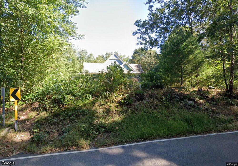
306 Stearns Rd Mansfield Center, CT 06250
Estimated Value: $329,000 - $486,000
3
Beds
2
Baths
1,872
Sq Ft
$233/Sq Ft
Est. Value
About This Home
This home is located at 306 Stearns Rd, Mansfield Center, CT 06250 and is currently estimated at $435,798, approximately $232 per square foot. 306 Stearns Rd is a home located in Tolland County with nearby schools including Annie E. Vinton School, Mansfield Elementary School, and E.O. Smith High School.
Ownership History
Date
Name
Owned For
Owner Type
Purchase Details
Closed on
Oct 26, 2011
Sold by
Sabatelli Linda K
Bought by
Brody Paul
Current Estimated Value
Purchase Details
Closed on
Jun 2, 2004
Sold by
Boisvert Norman and Boisvert Julieann
Bought by
Sabatelli Linda
Create a Home Valuation Report for This Property
The Home Valuation Report is an in-depth analysis detailing your home's value as well as a comparison with similar homes in the area
Home Values in the Area
Average Home Value in this Area
Purchase History
| Date | Buyer | Sale Price | Title Company |
|---|---|---|---|
| Brody Paul | $147,500 | -- | |
| Brody Paul | $147,500 | -- | |
| Sabatelli Linda | $103,000 | -- | |
| Sabatelli Linda | $103,000 | -- |
Source: Public Records
Mortgage History
| Date | Status | Borrower | Loan Amount |
|---|---|---|---|
| Open | Sabatelli Linda | $200,000 | |
| Previous Owner | Sabatelli Linda | $140,000 |
Source: Public Records
Tax History Compared to Growth
Tax History
| Year | Tax Paid | Tax Assessment Tax Assessment Total Assessment is a certain percentage of the fair market value that is determined by local assessors to be the total taxable value of land and additions on the property. | Land | Improvement |
|---|---|---|---|---|
| 2025 | $6,074 | $303,700 | $48,000 | $255,700 |
| 2024 | $6,278 | $205,700 | $45,200 | $160,500 |
| 2023 | $6,484 | $205,700 | $45,200 | $160,500 |
| 2022 | $6,249 | $205,700 | $45,200 | $160,500 |
| 2021 | $6,455 | $205,700 | $45,200 | $160,500 |
| 2020 | $6,455 | $205,700 | $45,200 | $160,500 |
| 2019 | $6,690 | $213,200 | $47,500 | $165,700 |
| 2018 | $6,584 | $213,200 | $47,500 | $165,700 |
| 2017 | $6,530 | $213,200 | $47,500 | $165,700 |
| 2016 | $6,368 | $213,200 | $47,500 | $165,700 |
| 2015 | $6,368 | $213,200 | $47,500 | $165,700 |
| 2014 | $5,922 | $211,890 | $57,120 | $154,770 |
Source: Public Records
Map
Nearby Homes
- 58 Candide Ln
- 0 Oak Dr Unit LOT 33
- 0 Sheffield Dr
- 00 Sheffield Dr
- 457 Stafford Rd
- 106 S Street Extension
- 103 S Street Extension
- 0 South St Unit 24134981
- 0 Mansfield City Rd Unit LOT 2
- 35 Wyllys Farm Rd
- 29 Wyllys Farm Rd
- 30 Wyllys Farm Rd
- 37 Wyllys Farm Rd
- 43 Wyllys Farm Rd
- 31 Wyllys Farm Rd
- 12 White Oak Rd Unit 12A
- 39 Jacobs Hill Rd
- 27 Aspen Place
- 2 Pequot Square Unit 2
- 23 Liberty Dr Unit 23
- 0 Woodmont Dr Unit G652870
- 00 Woodmont Dr
- 301 Stearns Rd
- 293 Stearns Rd
- 39 Candide Ln
- 1 Candide Ln
- 11 Candide Ln
- 45 Candide Ln
- 327 Stearns Rd
- 0 Candide Ln
- 22 Candide Ln Unit 3
- 10 Woodmont Dr
- 51 Candide Ln
- 328 Stearns Rd
- 11 Woodmont Dr
- 57 Candide Ln
- 12 Candide Ln
- 16 Woodmont Dr
- 286 Stearns Rd
- 61 Candide Ln