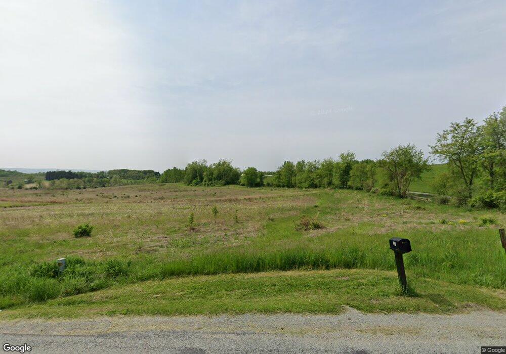
306 Upper Middletown Rd Smock, PA 15480
Menallen Township NeighborhoodEstimated Value: $339,000 - $546,000
3
Beds
3
Baths
2,100
Sq Ft
$217/Sq Ft
Est. Value
About This Home
This home is located at 306 Upper Middletown Rd, Smock, PA 15480 and is currently estimated at $455,088, approximately $216 per square foot. 306 Upper Middletown Rd is a home located in Fayette County with nearby schools including Uniontown Area Senior High School.
Ownership History
Date
Name
Owned For
Owner Type
Purchase Details
Closed on
Jul 2, 2024
Sold by
Marvin James R
Bought by
Penn Residential Incorporated
Current Estimated Value
Home Financials for this Owner
Home Financials are based on the most recent Mortgage that was taken out on this home.
Original Mortgage
$400,000
Outstanding Balance
$395,176
Interest Rate
6.94%
Mortgage Type
New Conventional
Estimated Equity
$59,912
Purchase Details
Closed on
Jul 23, 1996
Bought by
Marvin James R and Marvin Charlotte M
Create a Home Valuation Report for This Property
The Home Valuation Report is an in-depth analysis detailing your home's value as well as a comparison with similar homes in the area
Home Values in the Area
Average Home Value in this Area
Purchase History
| Date | Buyer | Sale Price | Title Company |
|---|---|---|---|
| Penn Residential Incorporated | $500,000 | Lawyers Abstract | |
| Marvin James R | $27,000 | -- |
Source: Public Records
Mortgage History
| Date | Status | Borrower | Loan Amount |
|---|---|---|---|
| Open | Penn Residential Incorporated | $400,000 |
Source: Public Records
Tax History Compared to Growth
Tax History
| Year | Tax Paid | Tax Assessment Tax Assessment Total Assessment is a certain percentage of the fair market value that is determined by local assessors to be the total taxable value of land and additions on the property. | Land | Improvement |
|---|---|---|---|---|
| 2025 | $2,235 | $87,485 | $27,865 | $59,620 |
| 2024 | $2,132 | $87,485 | $27,865 | $59,620 |
| 2023 | $4,264 | $87,485 | $27,865 | $59,620 |
| 2022 | $4,264 | $87,485 | $27,865 | $59,620 |
| 2021 | $4,264 | $87,485 | $27,865 | $59,620 |
| 2020 | $4,166 | $87,485 | $27,865 | $59,620 |
| 2019 | $3,863 | $87,485 | $27,865 | $59,620 |
| 2018 | $3,659 | $87,485 | $27,865 | $59,620 |
| 2017 | $3,659 | $87,485 | $27,865 | $59,620 |
| 2016 | -- | $87,485 | $27,865 | $59,620 |
| 2015 | -- | $87,485 | $27,865 | $59,620 |
| 2014 | -- | $174,970 | $55,730 | $119,240 |
Source: Public Records
Map
Nearby Homes
- 912 Keisterville Rd
- 218 Hatfield Rd
- 104 Industry Ln
- 0 Alpine Ln Unit 1706795
- 419 2nd St
- 7775 National Pike
- 1010 Sunset Way
- 390 Snuff Ridge Rd
- 7817 National Pike
- 511 West St
- - Old Pittsburgh Rd
- 1204 Pittsburgh Rd
- 19 Misty Meadows Ln
- 185 Main St
- 1024 Colonial Dr
- 279 Linda Ave
- SR 51 Vances Mill Rd
- 104 Royal Rd
- 909 1st St
- 627 Pala Ave
- 310 Upper Middletown Rd
- 305 Upper Middletown Rd
- 268 Upper Middletown Rd
- 315 Upper Middletown Rd
- 291 Upper Middletown Rd
- 359 Upper Middletown Rd
- 143 Baer Rd
- 360 Upper Middletown Rd
- 133 Baer Rd
- 1012 Keister Rd
- 230 Upper Middletown Rd
- 942 Keisterville Rd
- 1005 Keister Road Extension
- 940 Keisterville Rd
- 1003 Keister Rd
- 943 Keisterville Rd
- 938 Keisterville Rd
- 941 Keisterville Rd
- 939 Keisterville Rd
- 934 Keisterville Rd
