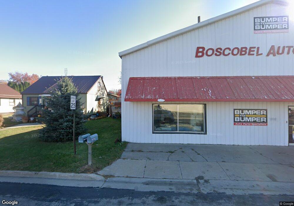
306 W Bluff St Boscobel, WI 53805
Estimated Value: $127,000 - $177,000
2
Beds
3
Baths
1,134
Sq Ft
$132/Sq Ft
Est. Value
About This Home
This home is located at 306 W Bluff St, Boscobel, WI 53805 and is currently estimated at $150,233, approximately $132 per square foot. 306 W Bluff St is a home located in Grant County with nearby schools including Boscobel Elementary School, Boscobel Junior High School, and Boscobel High School.
Ownership History
Date
Name
Owned For
Owner Type
Purchase Details
Closed on
May 3, 2011
Sold by
First Franklin Mortgage Loan Trust Mortg
Bought by
Carlin Rhonda R
Current Estimated Value
Purchase Details
Closed on
Mar 30, 2011
Sold by
Ostrowski Raymond J and Ostrowski Connie C
Bought by
Us Bank National Association and Holders Of The First Franklin Mortgage L
Purchase Details
Closed on
Aug 2, 2005
Sold by
Ostrowski Raymond J
Bought by
Ostrowski Ii Raymond J and Ostrowski Connie C
Create a Home Valuation Report for This Property
The Home Valuation Report is an in-depth analysis detailing your home's value as well as a comparison with similar homes in the area
Home Values in the Area
Average Home Value in this Area
Purchase History
| Date | Buyer | Sale Price | Title Company |
|---|---|---|---|
| Carlin Rhonda R | $38,000 | -- | |
| Us Bank National Association | -- | -- | |
| Ostrowski Ii Raymond J | $88,500 | -- |
Source: Public Records
Mortgage History
| Date | Status | Borrower | Loan Amount |
|---|---|---|---|
| Closed | Ostrowski Ii Raymond J | $0 |
Source: Public Records
Tax History Compared to Growth
Tax History
| Year | Tax Paid | Tax Assessment Tax Assessment Total Assessment is a certain percentage of the fair market value that is determined by local assessors to be the total taxable value of land and additions on the property. | Land | Improvement |
|---|---|---|---|---|
| 2024 | $1,643 | $101,700 | $22,300 | $79,400 |
| 2023 | $1,490 | $80,800 | $22,300 | $58,500 |
| 2022 | $1,205 | $52,200 | $8,900 | $43,300 |
| 2021 | $1,051 | $52,200 | $8,900 | $43,300 |
| 2020 | $1,087 | $52,200 | $8,900 | $43,300 |
| 2019 | $1,027 | $52,200 | $890 | $4,330 |
| 2018 | $1,009 | $52,200 | $8,900 | $43,300 |
| 2017 | $1,036 | $52,200 | $8,900 | $43,300 |
| 2016 | $1,008 | $51,000 | $8,900 | $42,100 |
| 2015 | $900 | $51,000 | $8,900 | $42,100 |
| 2014 | $943 | $51,000 | $8,900 | $42,100 |
| 2013 | -- | $51,000 | $8,900 | $42,100 |
Source: Public Records
Map
Nearby Homes
- 400 Hill Dr
- 208 W Oak St
- 304 Pearl St
- 204 W Kansas St
- 103 Brindley St
- 209 Adams St
- 307 Fremont St
- 301 Superior St
- 320 Wisconsin Ave
- 1107 Yahn Ave
- 901 E Bluff St
- 405 Airport Rd
- 118 Doc Mac Dr
- 116 Doc Mac Dr
- 127 Pine Circle Dr
- 133 Pine Circle Dr
- 107 Windsong Ct
- 117 Doc Mac Dr
- 113 Windsong Ct
- 115 Windsong Ct
- 304 W Bluff St
- 302 W Bluff St
- 305 Parker St
- 309 Parker St
- 300 W Bluff St
- 303 Parker St
- 1007 Elm St
- 301 Parker St
- 1100 Elm St
- 310 Parker St
- 40 Acres S Highway 61
- Tract 3 S Highway 61
- +/- 40 Acres U S 61
- 211 W Bluff St
- 999 Wisconsin 133
- 0 Hwy 61 Unit 1821124
- 0 Hwy 61 Unit 1575966
- 0 Hwy 61 Unit 1875083
- 0 Wisconsin 133
- 1200 Elm St
