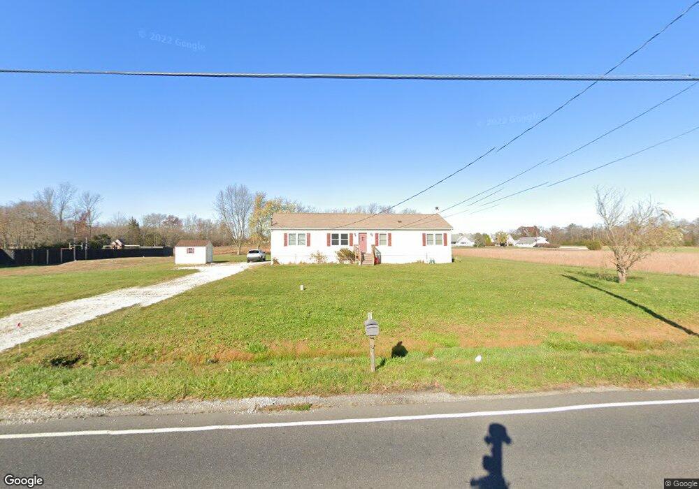
3060 E Oak Rd Vineland, NJ 08361
Estimated Value: $330,458 - $369,000
--
Bed
--
Bath
1,736
Sq Ft
$203/Sq Ft
Est. Value
About This Home
This home is located at 3060 E Oak Rd, Vineland, NJ 08361 and is currently estimated at $353,115, approximately $203 per square foot. 3060 E Oak Rd is a home located in Cumberland County with nearby schools including D'Ippolito Elementary School, Veterans Memorial Intermediate School, and Vineland Senior High School.
Ownership History
Date
Name
Owned For
Owner Type
Purchase Details
Closed on
Jun 6, 1996
Sold by
Sikking Bullock Gary Allen and Sikking Bullock Diana
Bought by
Tolotti Robert
Current Estimated Value
Home Financials for this Owner
Home Financials are based on the most recent Mortgage that was taken out on this home.
Original Mortgage
$55,000
Interest Rate
7.97%
Create a Home Valuation Report for This Property
The Home Valuation Report is an in-depth analysis detailing your home's value as well as a comparison with similar homes in the area
Home Values in the Area
Average Home Value in this Area
Purchase History
| Date | Buyer | Sale Price | Title Company |
|---|---|---|---|
| Tolotti Robert | $90,000 | Beacon Title |
Source: Public Records
Mortgage History
| Date | Status | Borrower | Loan Amount |
|---|---|---|---|
| Closed | Tolotti Robert | $55,000 |
Source: Public Records
Tax History Compared to Growth
Tax History
| Year | Tax Paid | Tax Assessment Tax Assessment Total Assessment is a certain percentage of the fair market value that is determined by local assessors to be the total taxable value of land and additions on the property. | Land | Improvement |
|---|---|---|---|---|
| 2025 | $5,648 | $177,400 | $40,100 | $137,300 |
| 2024 | $5,648 | $177,400 | $40,100 | $137,300 |
| 2023 | $5,611 | $177,400 | $40,100 | $137,300 |
| 2022 | $5,444 | $177,400 | $40,100 | $137,300 |
| 2021 | $5,122 | $177,400 | $40,100 | $137,300 |
| 2020 | $5,193 | $177,400 | $40,100 | $137,300 |
| 2019 | $5,122 | $177,400 | $40,100 | $137,300 |
| 2018 | $4,987 | $177,400 | $40,100 | $137,300 |
| 2017 | $4,737 | $177,400 | $40,100 | $137,300 |
| 2016 | $4,570 | $177,400 | $40,100 | $137,300 |
| 2015 | $4,401 | $177,400 | $40,100 | $137,300 |
| 2014 | $4,162 | $177,400 | $40,100 | $137,300 |
Source: Public Records
Map
Nearby Homes
- 3020 E Oak Rd
- 866 N Brewster Rd
- 2818 Vine Rd
- 3635 Maple Ave
- 191 Redcrest St
- 3258 E Landis Ave
- 383 Wheat Rd
- 117 Redcrest St
- 2102 E Oak Rd Unit 6
- 307 N Spring Rd
- 208 Oaklawn Terrace
- 101 Oaklawn Terrace
- 208 S Brewster Rd
- Block 173 Lot 40.03 Wheat Rd
- 2227 E Landis Ave
- 0 E Oak Rd Unit NJCB2011142
- 1872 Galli Dr
- 1404 S Central Ave
- 1402 S Central Ave
- 1402 Central