3060 N 1670 E North Logan, UT 84341
Estimated Value: $889,000 - $1,069,387
5
Beds
6
Baths
5,700
Sq Ft
$174/Sq Ft
Est. Value
About This Home
This home is located at 3060 N 1670 E, North Logan, UT 84341 and is currently estimated at $993,847, approximately $174 per square foot. 3060 N 1670 E is a home located in Cache County with nearby schools including Greenville School, Cedar Ridge School, and North Cache Middle School.
Ownership History
Date
Name
Owned For
Owner Type
Purchase Details
Closed on
Nov 17, 2021
Sold by
Job Jeffrey Scott and Job Rebecca Strong
Bought by
Tolbert Timothy and Tolbert Olga
Current Estimated Value
Home Financials for this Owner
Home Financials are based on the most recent Mortgage that was taken out on this home.
Original Mortgage
$875,000
Outstanding Balance
$800,100
Interest Rate
2.99%
Mortgage Type
VA
Estimated Equity
$193,747
Purchase Details
Closed on
Mar 27, 2020
Sold by
Job Jeffrey Scott and Job Rebecca Strong
Bought by
Job Jeffrey Scott and Job Rebecca Strong
Home Financials for this Owner
Home Financials are based on the most recent Mortgage that was taken out on this home.
Original Mortgage
$286,500
Interest Rate
3.4%
Mortgage Type
New Conventional
Purchase Details
Closed on
Feb 7, 2018
Sold by
Job Jefrey S and Job Rebecca S
Bought by
Job Jeffrey Scott and Job Rebecca Atrong
Create a Home Valuation Report for This Property
The Home Valuation Report is an in-depth analysis detailing your home's value as well as a comparison with similar homes in the area
Home Values in the Area
Average Home Value in this Area
Purchase History
| Date | Buyer | Sale Price | Title Company |
|---|---|---|---|
| Tolbert Timothy | -- | Cache Title Logan | |
| Job Jeffrey Scott | -- | Cache Title Company Inc | |
| Job Jeffrey Scott | -- | Cache Title Logan | |
| Job Jeffrey Scott | -- | -- |
Source: Public Records
Mortgage History
| Date | Status | Borrower | Loan Amount |
|---|---|---|---|
| Open | Tolbert Timothy | $875,000 | |
| Previous Owner | Job Jeffrey Scott | $286,500 |
Source: Public Records
Tax History
| Year | Tax Paid | Tax Assessment Tax Assessment Total Assessment is a certain percentage of the fair market value that is determined by local assessors to be the total taxable value of land and additions on the property. | Land | Improvement |
|---|---|---|---|---|
| 2025 | $38 | $528,695 | $0 | $0 |
| 2024 | $3,960 | $515,820 | $0 | $0 |
| 2023 | $4,162 | $507,295 | $0 | $0 |
| 2022 | $4,356 | $507,295 | $0 | $0 |
| 2021 | $4,230 | $763,885 | $130,000 | $633,885 |
| 2020 | $3,266 | $553,016 | $130,000 | $423,016 |
| 2019 | $3,420 | $553,016 | $130,000 | $423,016 |
| 2018 | $2,984 | $467,840 | $100,000 | $367,840 |
| 2017 | $2,895 | $238,920 | $0 | $0 |
| 2016 | $2,940 | $238,920 | $0 | $0 |
| 2015 | $2,830 | $229,150 | $0 | $0 |
| 2014 | $2,764 | $229,150 | $0 | $0 |
| 2013 | -- | $226,125 | $0 | $0 |
Source: Public Records
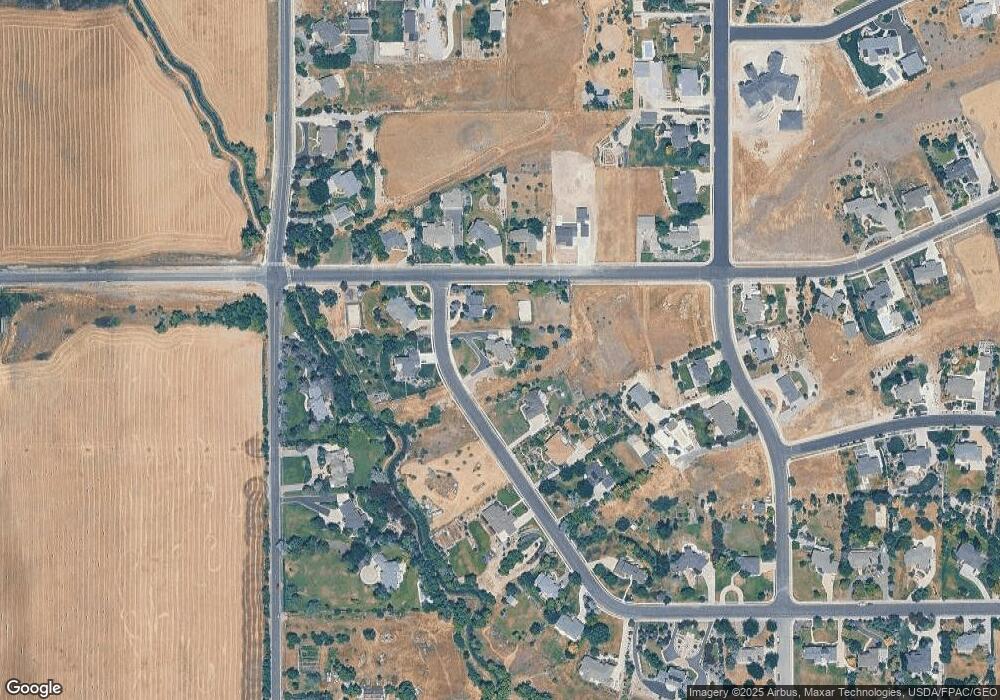
Map
Nearby Homes
- 105 E 3100 N
- 1990 E Canyon Ridge Dr
- 2827 E Viewcrest Cir
- 78 S 1000 E Unit 115
- 108 S 900 E
- 2275 E Meadow Lark Ln N
- 94 S 950 E
- 86 S 950 E
- 488 E 250 S
- 710 E 100 S
- 1128 E 50 N Unit 81
- 1185 E 2500 N
- 600 E 100 S
- 108 N 900 E
- 124 N 1140 E
- 2517 N 2050 E
- 1495 E 2300 N
- 1110 E 100 S Unit 216
- 2573 N 2300 E Unit 45
- 894 E 130 N Unit 17
- 3060 N Canyon Ridge Dr
- 3080 N Canyon Ridge Dr
- 3040 N Canyon Ridge Dr
- 3065 N 1670 E Unit 2
- 3085 N Canyon Ridge Dr
- 3085 N 1670 E
- 1715 E 3100 N
- 1695 E 3100 N
- 3020 N Canyon Ridge Dr
- 1665 E 3100 N
- 1645 E 3100 N
- 3000 N Canyon Ridge Dr
- 3020 N 1600 E
- 3005 N Canyon Ridge Dr
- 3014 N 1600 E
- 3057 N 1800 E
- 1785 E 3100 N
- 3130 N 1600 E
- 2990 N 1600 E
- 3037 N 1800 E
Your Personal Tour Guide
Ask me questions while you tour the home.