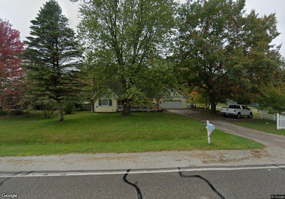
3060 Range Rd Port Huron, MI 48060
Estimated Value: $280,000 - $367,000
3
Beds
2
Baths
1,920
Sq Ft
$161/Sq Ft
Est. Value
About This Home
This home is located at 3060 Range Rd, Port Huron, MI 48060 and is currently estimated at $308,286, approximately $160 per square foot. 3060 Range Rd is a home located in St. Clair County with nearby schools including Michigamme Elementary School, Central Middle School, and Port Huron High School.
Ownership History
Date
Name
Owned For
Owner Type
Purchase Details
Closed on
Aug 7, 2008
Sold by
Gutierez Dorothy M
Bought by
Tcf National Bank Bank
Current Estimated Value
Purchase Details
Closed on
Oct 3, 2007
Sold by
Reynolds Daniel F and Reynolds Stephanie L
Bought by
Josef James M and Josef Joyce A
Home Financials for this Owner
Home Financials are based on the most recent Mortgage that was taken out on this home.
Original Mortgage
$151,300
Interest Rate
6.77%
Mortgage Type
Future Advance Clause Open End Mortgage
Purchase Details
Closed on
Aug 24, 2007
Sold by
Josef James M and Josef Joyce A
Bought by
Gutierrez Dorothy M
Home Financials for this Owner
Home Financials are based on the most recent Mortgage that was taken out on this home.
Original Mortgage
$151,300
Interest Rate
6.77%
Mortgage Type
Future Advance Clause Open End Mortgage
Create a Home Valuation Report for This Property
The Home Valuation Report is an in-depth analysis detailing your home's value as well as a comparison with similar homes in the area
Home Values in the Area
Average Home Value in this Area
Purchase History
| Date | Buyer | Sale Price | Title Company |
|---|---|---|---|
| Tcf National Bank Bank | $151,900 | None Available | |
| Josef James M | -- | None Available | |
| Gutierrez Dorothy M | $170,000 | Landamerica |
Source: Public Records
Mortgage History
| Date | Status | Borrower | Loan Amount |
|---|---|---|---|
| Previous Owner | Gutierrez Dorothy M | $151,300 |
Source: Public Records
Tax History
| Year | Tax Paid | Tax Assessment Tax Assessment Total Assessment is a certain percentage of the fair market value that is determined by local assessors to be the total taxable value of land and additions on the property. | Land | Improvement |
|---|---|---|---|---|
| 2025 | $1,483 | $127,100 | $0 | $0 |
| 2024 | $1,439 | $120,100 | $0 | $0 |
| 2023 | $1,328 | $102,900 | $0 | $0 |
| 2022 | $2,453 | $89,800 | $0 | $0 |
| 2020 | $2,322 | $80,400 | $0 | $80,400 |
| 2019 | $2,283 | $72,900 | $0 | $0 |
| 2018 | $2,234 | $72,900 | $0 | $0 |
| 2017 | $2,188 | $71,300 | $0 | $0 |
| 2016 | $1,090 | $71,300 | $0 | $0 |
| 2015 | -- | $68,300 | $0 | $68,300 |
| 2014 | -- | $63,200 | $63,200 | $0 |
| 2013 | -- | $60,400 | $0 | $0 |
Source: Public Records
Map
Nearby Homes
- 4459 Cambridge Dr
- 3115 Spruce Dr
- 4224 Atkins Rd
- 000 Atkins Rd Atkins Rd
- 0000 Atkins Atkins Rd
- 2668 Range Rd
- 3349 Charmwood Dr
- 4911 Castlewood Dr
- 3345 Beach Rd
- 4380 Lapeer Rd
- 4570 Atkins Rd
- 3075 Westcott Dr
- 0 Lapeer Rd Unit 50137357
- 0000 W Water St
- 3971 N River Rd
- 4167 N River Rd
- 4612 Smith Rd
- 3639 Teeple Ave
- 3625 Angus Rd
- 3559 Lightle Rd
Your Personal Tour Guide
Ask me questions while you tour the home.