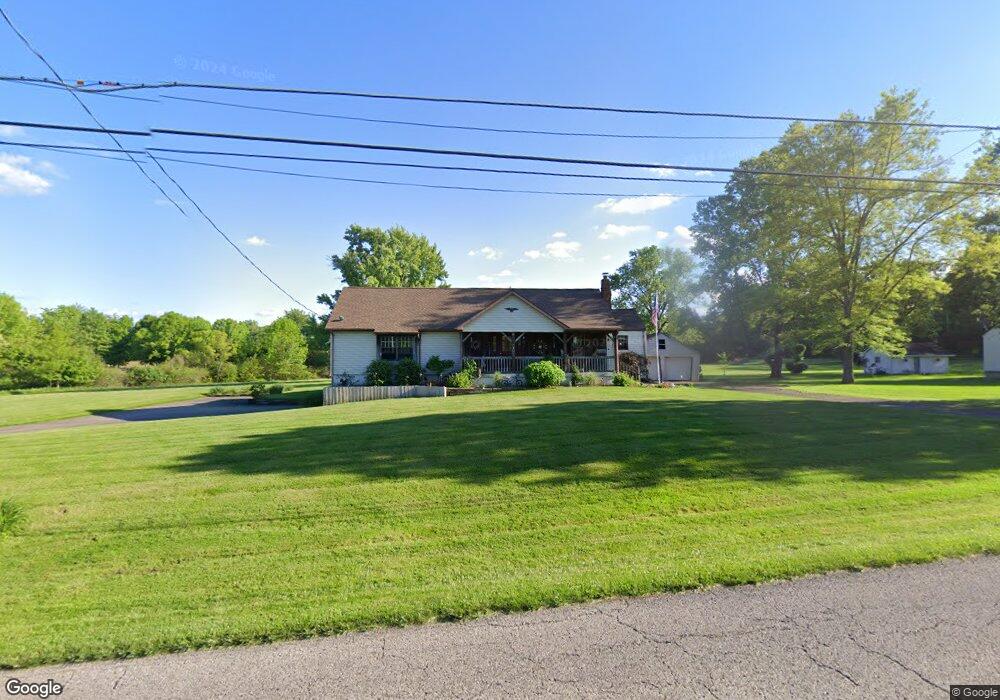
3061 E Middletown Rd New Springfield, OH 44443
Estimated Value: $205,178 - $331,000
3
Beds
1
Bath
1,882
Sq Ft
$146/Sq Ft
Est. Value
About This Home
This home is located at 3061 E Middletown Rd, New Springfield, OH 44443 and is currently estimated at $274,045, approximately $145 per square foot. 3061 E Middletown Rd is a home located in Mahoning County with nearby schools including Springfield Elementary School, Springfield Intermediate Middle School, and Springfield High School.
Ownership History
Date
Name
Owned For
Owner Type
Purchase Details
Closed on
Oct 26, 2023
Sold by
James Barbara Ann
Bought by
James Joseph
Current Estimated Value
Purchase Details
Closed on
May 29, 2003
Sold by
James J Dale
Bought by
James Barbara Ann
Purchase Details
Closed on
Jun 8, 1977
Bought by
James James J and James Barbara A
Create a Home Valuation Report for This Property
The Home Valuation Report is an in-depth analysis detailing your home's value as well as a comparison with similar homes in the area
Purchase History
| Date | Buyer | Sale Price | Title Company |
|---|---|---|---|
| James Joseph | -- | None Listed On Document | |
| James Joseph | -- | None Listed On Document | |
| James Barbara Ann | -- | -- | |
| James James J | -- | -- |
Source: Public Records
Tax History
| Year | Tax Paid | Tax Assessment Tax Assessment Total Assessment is a certain percentage of the fair market value that is determined by local assessors to be the total taxable value of land and additions on the property. | Land | Improvement |
|---|---|---|---|---|
| 2025 | $2,343 | $53,420 | $5,830 | $47,590 |
| 2024 | $2,155 | $53,420 | $5,830 | $47,590 |
| 2023 | $2,173 | $53,420 | $5,830 | $47,590 |
| 2022 | $1,999 | $44,120 | $5,830 | $38,290 |
| 2021 | $2,014 | $44,120 | $5,830 | $38,290 |
| 2020 | $1,585 | $44,120 | $5,830 | $38,290 |
| 2019 | $1,426 | $39,420 | $5,830 | $33,590 |
| 2018 | $1,408 | $39,420 | $5,830 | $33,590 |
| 2017 | $1,577 | $39,420 | $5,830 | $33,590 |
| 2016 | $1,750 | $37,780 | $4,570 | $33,210 |
| 2015 | $1,702 | $37,780 | $4,570 | $33,210 |
| 2014 | $1,710 | $37,780 | $4,570 | $33,210 |
| 2013 | $1,694 | $37,780 | $4,570 | $33,210 |
Source: Public Records
Map
Nearby Homes
- 2621 Calla Rd E
- 4035 Shelly Lynn Dr
- 4025 Shelly Lynn Dr
- 29 Shores Dr
- 28 Shores Dr
- 30 Shores Dr
- 9868 Unity Rd
- 31 Shores Dr
- 170 Sandy Ct Unit 11
- 170 Sandy Ct Unit 7
- 10105 Carrie Ct
- 10115 Carrie Ct
- 93 Woodland Dr
- 139 Heron Bay Dr
- 9663 Youngstown - Pittsburgh Rd
- 46 Ohlin Dr
- 56 Jeffrey Ln
- 76 Stacy Dr
- 10725 Struthers Rd
- 9151 Springfield Rd Unit 1001
- 3035 E Middletown Rd
- 3015 E Middletown Rd
- 9999 Beard Rd
- 3221 E Middletown Rd
- 11185 Beard Rd
- 3214 E Middletown Rd
- 11160 Beard Rd
- 10851 Beard Rd
- 2787 Middletown Rd E
- 10817 Beard Rd
- 3285 E Middletown Rd
- 10735 Beard Rd
- 3320 E Middletown Rd
- 11261 Beard Rd
- 2815 Middletown Rd E
- 11281 Beard Rd
- 3392 E Middletown Rd
- 2763 Middletown Rd E
- 11337 Beard Rd
- 3401 E Middletown Rd
Your Personal Tour Guide
Ask me questions while you tour the home.