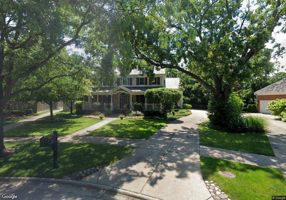
3061 Independence Ave Glenview, IL 60026
The Glen NeighborhoodEstimated Value: $1,457,125 - $1,889,000
4
Beds
3
Baths
3,814
Sq Ft
$444/Sq Ft
Est. Value
About This Home
This home is located at 3061 Independence Ave, Glenview, IL 60026 and is currently estimated at $1,693,281, approximately $443 per square foot. 3061 Independence Ave is a home located in Cook County with nearby schools including Westbrook Elementary School, Glen Grove Elementary School, and Attea Middle School.
Ownership History
Date
Name
Owned For
Owner Type
Purchase Details
Closed on
Oct 28, 2016
Sold by
Ondrula Christopher and Ondrula Lisa
Bought by
Ondrula Christopher and Ondrula Lisa
Current Estimated Value
Purchase Details
Closed on
May 15, 2003
Sold by
Ondrula Christopher J and Ondrula Lisa M
Bought by
Ondrula Christopher and Ondrula Lisa
Create a Home Valuation Report for This Property
The Home Valuation Report is an in-depth analysis detailing your home's value as well as a comparison with similar homes in the area
Home Values in the Area
Average Home Value in this Area
Purchase History
| Date | Buyer | Sale Price | Title Company |
|---|---|---|---|
| Ondrula Christopher | -- | Attorney | |
| Ondrula Christopher | -- | -- | |
| Ondrula Christopher | -- | -- |
Source: Public Records
Tax History Compared to Growth
Tax History
| Year | Tax Paid | Tax Assessment Tax Assessment Total Assessment is a certain percentage of the fair market value that is determined by local assessors to be the total taxable value of land and additions on the property. | Land | Improvement |
|---|---|---|---|---|
| 2024 | $23,827 | $110,968 | $19,355 | $91,613 |
| 2023 | $26,151 | $110,968 | $19,355 | $91,613 |
| 2022 | $26,151 | $125,001 | $19,355 | $105,646 |
| 2021 | $18,934 | $79,405 | $13,196 | $66,209 |
| 2020 | $18,766 | $79,405 | $13,196 | $66,209 |
| 2019 | $17,687 | $88,228 | $13,196 | $75,032 |
| 2018 | $20,875 | $94,200 | $11,436 | $82,764 |
| 2017 | $20,332 | $94,200 | $11,436 | $82,764 |
| 2016 | $19,398 | $94,200 | $11,436 | $82,764 |
| 2015 | $18,703 | $81,161 | $9,237 | $71,924 |
| 2014 | $18,373 | $81,161 | $9,237 | $71,924 |
| 2013 | $17,799 | $81,161 | $9,237 | $71,924 |
Source: Public Records
Map
Nearby Homes
- 3081 Saratoga Ln
- 3212 Lindenwood Ln
- 1615 Greenwood Rd
- 1045 Crystal Ct
- 2750 Langley Cir Unit 203013
- 3335 Elmdale Rd
- 2701 Commons Dr Unit 210
- 1891 Admiral Ct Unit 79
- 1867 Admiral Ct Unit 91
- 1704 Executive Ln
- 1619 Patriot Blvd
- 1735 Patriot Blvd
- 705 Glendale Rd
- 1088 Shermer Rd Unit DW
- 2005 Valor Ct Unit 43
- 616 Glendale Rd
- 608 Glenwood Ln
- 4004 Denice Ct Unit 3
- 2156 Rugen Rd Unit A
- 521 Michael Manor
- 3051 Independence Ave Unit 2
- 3109 Bellwood Ln
- 1416 Kittyhawk Ln
- 3105 Bellwood Ln
- 1340 Huber Ln
- 3113 Bellwood Ln
- 1428 Kittyhawk Ln
- 3041 Independence Ave
- 1349 Huber Ln Unit B
- 3102 Bellwood Ln
- 1334 Huber Ln
- 3119 Bellwood Ln
- 3031 Independence Ave
- 1440 Kittyhawk Ln
- 1333 Huber Ln
- 3120 Bellwood Ln
- 3123 Bellwood Ln
- 3021 Independence Ave Unit 2
- 1330 Huber Ln
- 3106 Bellwood Ln