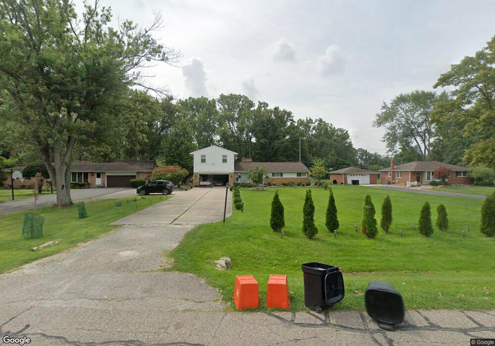
30615 Puritan St Unit Bldg-Unit Livonia, MI 48154
Estimated Value: $458,318 - $510,000
--
Bed
3
Baths
2,941
Sq Ft
$163/Sq Ft
Est. Value
About This Home
This home is located at 30615 Puritan St Unit Bldg-Unit, Livonia, MI 48154 and is currently estimated at $479,830, approximately $163 per square foot. 30615 Puritan St Unit Bldg-Unit is a home located in Wayne County with nearby schools including Riley Upper Elementary School, Buchanan Elementary School, and Holmes Middle School.
Ownership History
Date
Name
Owned For
Owner Type
Purchase Details
Closed on
Mar 9, 2018
Sold by
The Bank Of New York Mellon
Bought by
Youseff Mohamad
Current Estimated Value
Home Financials for this Owner
Home Financials are based on the most recent Mortgage that was taken out on this home.
Original Mortgage
$218,153
Outstanding Balance
$186,940
Interest Rate
4.38%
Mortgage Type
Construction
Estimated Equity
$292,890
Purchase Details
Closed on
Aug 16, 2017
Sold by
Milks Thomas Wayne
Bought by
The Bank Of New York Mellon and The Bank Of New York
Purchase Details
Closed on
Jul 29, 2005
Sold by
Lacy Margaret S
Bought by
Milks Thomas Wayne
Create a Home Valuation Report for This Property
The Home Valuation Report is an in-depth analysis detailing your home's value as well as a comparison with similar homes in the area
Home Values in the Area
Average Home Value in this Area
Purchase History
| Date | Buyer | Sale Price | Title Company |
|---|---|---|---|
| Youseff Mohamad | $224,900 | None Available | |
| The Bank Of New York Mellon | -- | None Available | |
| Milks Thomas Wayne | $420,000 | None Available |
Source: Public Records
Mortgage History
| Date | Status | Borrower | Loan Amount |
|---|---|---|---|
| Open | Youseff Mohamad | $218,153 |
Source: Public Records
Tax History Compared to Growth
Tax History
| Year | Tax Paid | Tax Assessment Tax Assessment Total Assessment is a certain percentage of the fair market value that is determined by local assessors to be the total taxable value of land and additions on the property. | Land | Improvement |
|---|---|---|---|---|
| 2025 | $3,551 | $209,300 | $0 | $0 |
| 2024 | $3,551 | $190,200 | $0 | $0 |
| 2023 | $3,388 | $178,100 | $0 | $0 |
| 2022 | $5,949 | $162,800 | $0 | $0 |
| 2021 | $5,778 | $155,300 | $0 | $0 |
| 2019 | $5,543 | $136,500 | $0 | $0 |
| 2018 | $2,191 | $123,700 | $0 | $0 |
| 2017 | $3,878 | $121,500 | $0 | $0 |
| 2016 | $3,787 | $117,700 | $0 | $0 |
| 2015 | $9,168 | $101,100 | $0 | $0 |
| 2012 | -- | $88,820 | $26,250 | $62,570 |
Source: Public Records
Map
Nearby Homes
- 31069 Munger Dr
- 31005 Roycroft St
- 30115 Munger Dr
- 15345 Bainbridge St
- 15600 Auburndale St
- 29945 6 Mile Rd
- 15040 Berwick St
- 14962 Beatrice St
- 29106 Broadmoor St
- 31366 Mayville St
- 29831 Oakley St
- 29464 Bobrich St Unit 49
- 30831 Lyndon St
- 14677 Auburndale St
- 31221 Lyndon St
- 28692 Bayberry Park Dr
- 31126 Grennada St
- 15075 Hubbard St Unit 5
- 14563 Melrose St
- 32525 6 Mile Rd
- 30615 Puritan St
- 30571 Puritan St
- 30629 Puritan St
- 30551 Puritan St
- 30643 Puritan St
- 30610 Wentworth St
- 30531 Puritan St
- 30723 Puritan St
- 30614 Puritan St
- 30630 Wentworth St
- 30626 Puritan St
- 30556 Puritan St
- 30650 Wentworth St
- 30642 Puritan St
- 30542 Puritan St
- 30570 Wentworth St
- 30511 Puritan St
- 30791 Puritan St
- 30720 Puritan St
- 30530 Wentworth St