30626 Baker Ln Corvallis, OR 97333
Estimated Value: $502,000 - $716,000
2
Beds
1
Bath
1,132
Sq Ft
$522/Sq Ft
Est. Value
About This Home
This home is located at 30626 Baker Ln, Corvallis, OR 97333 and is currently estimated at $591,250, approximately $522 per square foot. 30626 Baker Ln is a home located in Benton County with nearby schools including Lincoln Elementary School, Linus Pauling Middle School, and Corvallis High School.
Ownership History
Date
Name
Owned For
Owner Type
Purchase Details
Closed on
May 29, 2002
Sold by
Wyant James G
Bought by
Kelley Anne E and Kelley Jeffrey L
Current Estimated Value
Home Financials for this Owner
Home Financials are based on the most recent Mortgage that was taken out on this home.
Original Mortgage
$184,000
Outstanding Balance
$78,239
Interest Rate
6.89%
Estimated Equity
$513,011
Purchase Details
Closed on
Feb 24, 1999
Sold by
Wyant Jean S
Bought by
Wyant James G
Home Financials for this Owner
Home Financials are based on the most recent Mortgage that was taken out on this home.
Original Mortgage
$140,000
Interest Rate
6.78%
Create a Home Valuation Report for This Property
The Home Valuation Report is an in-depth analysis detailing your home's value as well as a comparison with similar homes in the area
Home Values in the Area
Average Home Value in this Area
Purchase History
| Date | Buyer | Sale Price | Title Company |
|---|---|---|---|
| Kelley Anne E | $230,000 | Key Title Company | |
| Wyant James G | $50,000 | -- |
Source: Public Records
Mortgage History
| Date | Status | Borrower | Loan Amount |
|---|---|---|---|
| Open | Kelley Anne E | $184,000 | |
| Previous Owner | Wyant James G | $140,000 |
Source: Public Records
Tax History Compared to Growth
Tax History
| Year | Tax Paid | Tax Assessment Tax Assessment Total Assessment is a certain percentage of the fair market value that is determined by local assessors to be the total taxable value of land and additions on the property. | Land | Improvement |
|---|---|---|---|---|
| 2024 | $1,567 | $120,224 | -- | -- |
| 2023 | $1,477 | $116,843 | $0 | $0 |
| 2022 | $1,435 | $113,537 | $0 | $0 |
| 2021 | $1,381 | $110,367 | $0 | $0 |
| 2020 | $1,376 | $107,268 | $0 | $0 |
| 2019 | $1,193 | $104,261 | $0 | $0 |
| 2018 | $1,227 | $101,341 | $0 | $0 |
| 2017 | $1,062 | $98,506 | $0 | $0 |
| 2016 | $1,061 | $95,753 | $0 | $0 |
| 2015 | $1,051 | $93,104 | $0 | $0 |
| 2014 | $1,020 | $91,036 | $0 | $0 |
| 2012 | -- | $88,128 | $0 | $0 |
Source: Public Records
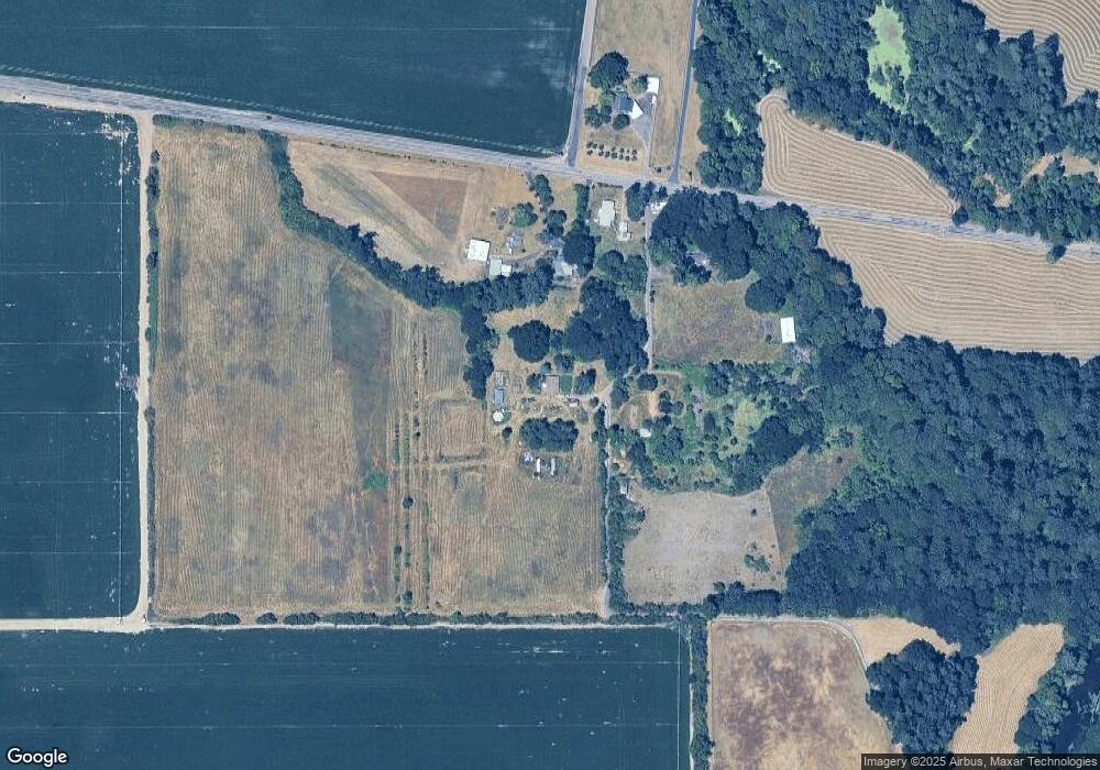
Map
Nearby Homes
- 4297 SE Kiger Island Dr
- 30274 Peoria Rd
- 0 SW Herbert (13 78 Acres) Ave
- 0 SW Herbert (27 14 Acres) Ave
- 0 SW Herbert (13 35 Acres) Ave
- 3565 SE Shoreline Dr
- 3676 SW 3rd St
- 824 SE Bayshore Cir
- 1249 SE Rivergreen Ave
- 3321 SE Summerfield Dr
- 3301 SE Summerfield Dr
- 3247 SE Hathaway Dr
- 300 SE Goodnight Av (#31) Ave Unit 31
- 300 SE Goodnight Ave Unit 21
- 300 SE Goodnight Ave
- TA 421203 SW Philomath Bl
- 0 SW Herbert (57 Acres) Ave
- 1465-2 Plan at Beverly Gleanns - Townhomes
- 1614-1 Plan at Beverly Gleanns - Detached Homes
- 1625-2 Plan at Beverly Gleanns - Townhomes