3065 Myers Rd Shelby, OH 44875
Estimated Value: $280,000 - $330,933
3
Beds
3
Baths
2,400
Sq Ft
$127/Sq Ft
Est. Value
About This Home
This home is located at 3065 Myers Rd, Shelby, OH 44875 and is currently estimated at $305,233, approximately $127 per square foot. 3065 Myers Rd is a home located in Richland County with nearby schools including St. Mary's School.
Ownership History
Date
Name
Owned For
Owner Type
Purchase Details
Closed on
Apr 26, 2024
Sold by
Roark Ray G and Roark Pamela R
Bought by
Henke Logan J and Henke Erika C
Current Estimated Value
Home Financials for this Owner
Home Financials are based on the most recent Mortgage that was taken out on this home.
Original Mortgage
$228,000
Outstanding Balance
$224,717
Interest Rate
6.74%
Mortgage Type
New Conventional
Estimated Equity
$80,516
Purchase Details
Closed on
Jul 23, 2001
Sold by
Craft Edward M
Bought by
Roark Roy G and Roark Pamela R
Home Financials for this Owner
Home Financials are based on the most recent Mortgage that was taken out on this home.
Original Mortgage
$137,750
Interest Rate
7.22%
Mortgage Type
New Conventional
Create a Home Valuation Report for This Property
The Home Valuation Report is an in-depth analysis detailing your home's value as well as a comparison with similar homes in the area
Home Values in the Area
Average Home Value in this Area
Purchase History
| Date | Buyer | Sale Price | Title Company |
|---|---|---|---|
| Henke Logan J | $328,000 | Old Crawford Land Title | |
| Henke Logan J | $328,000 | Old Crawford Land Title | |
| Roark Roy G | $145,000 | -- |
Source: Public Records
Mortgage History
| Date | Status | Borrower | Loan Amount |
|---|---|---|---|
| Open | Henke Logan J | $228,000 | |
| Closed | Henke Logan J | $228,000 | |
| Previous Owner | Roark Roy G | $137,750 |
Source: Public Records
Tax History Compared to Growth
Tax History
| Year | Tax Paid | Tax Assessment Tax Assessment Total Assessment is a certain percentage of the fair market value that is determined by local assessors to be the total taxable value of land and additions on the property. | Land | Improvement |
|---|---|---|---|---|
| 2024 | $2,528 | $66,580 | $12,810 | $53,770 |
| 2023 | $2,528 | $66,620 | $12,850 | $53,770 |
| 2022 | $2,426 | $56,960 | $12,420 | $44,540 |
| 2021 | $2,427 | $56,960 | $12,420 | $44,540 |
| 2020 | $2,430 | $56,960 | $12,420 | $44,540 |
| 2019 | $2,166 | $46,760 | $10,520 | $36,240 |
| 2018 | $2,122 | $46,760 | $10,520 | $36,240 |
| 2017 | $2,118 | $46,760 | $10,520 | $36,240 |
| 2016 | $2,134 | $47,920 | $9,470 | $38,450 |
| 2015 | $2,121 | $47,920 | $9,470 | $38,450 |
| 2014 | $2,048 | $47,920 | $9,470 | $38,450 |
| 2012 | $1,012 | $47,920 | $9,470 | $38,450 |
Source: Public Records
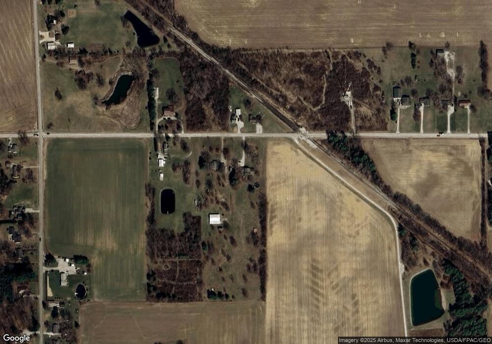
Map
Nearby Homes
- 3400 Rock Rd
- 3596 Ohio 39
- 3763 State Route 39
- 3619 Springmill Rd N
- 3389 Wareham Rd
- 2674 Stiving Rd
- 0 Technology Pkwy
- 671 Bendle Ave
- 624 Bendle Ave
- 38 Woodland Rd
- 1845 Taylortown Rd
- 31 Sherwood Dr
- 116 Mansfield Ave
- 1717 Myers Rd
- 228 E Main St
- 226 E Main St
- 221 S Gamble St
- 70 Mansfield Ave
- 2765 Hummel Rd
- 37 Grand Blvd