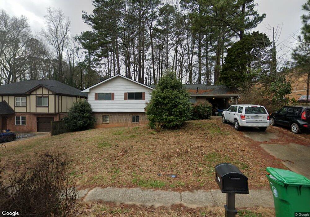
3066 Mount Olive Dr Unit 1 Decatur, GA 30033
North Druid Woods NeighborhoodEstimated Value: $481,350 - $535,000
3
Beds
2
Baths
2,052
Sq Ft
$250/Sq Ft
Est. Value
About This Home
This home is located at 3066 Mount Olive Dr Unit 1, Decatur, GA 30033 and is currently estimated at $512,838, approximately $249 per square foot. 3066 Mount Olive Dr Unit 1 is a home located in DeKalb County with nearby schools including Laurel Ridge Elementary School, Druid Hills Middle School, and Druid Hills High School.
Ownership History
Date
Name
Owned For
Owner Type
Purchase Details
Closed on
Nov 15, 2002
Sold by
Gadd Mildred M
Bought by
Thurber John C
Current Estimated Value
Home Financials for this Owner
Home Financials are based on the most recent Mortgage that was taken out on this home.
Original Mortgage
$139,200
Outstanding Balance
$58,017
Interest Rate
6.08%
Mortgage Type
New Conventional
Estimated Equity
$454,821
Create a Home Valuation Report for This Property
The Home Valuation Report is an in-depth analysis detailing your home's value as well as a comparison with similar homes in the area
Home Values in the Area
Average Home Value in this Area
Purchase History
| Date | Buyer | Sale Price | Title Company |
|---|---|---|---|
| Thurber John C | $174,000 | -- |
Source: Public Records
Mortgage History
| Date | Status | Borrower | Loan Amount |
|---|---|---|---|
| Open | Thurber John C | $139,200 |
Source: Public Records
Tax History Compared to Growth
Tax History
| Year | Tax Paid | Tax Assessment Tax Assessment Total Assessment is a certain percentage of the fair market value that is determined by local assessors to be the total taxable value of land and additions on the property. | Land | Improvement |
|---|---|---|---|---|
| 2025 | $5,732 | $177,920 | $39,040 | $138,880 |
| 2024 | $5,888 | $172,880 | $39,040 | $133,840 |
| 2023 | $5,888 | $161,680 | $39,040 | $122,640 |
| 2022 | $3,359 | $99,120 | $39,040 | $60,080 |
| 2021 | $3,570 | $105,240 | $38,000 | $67,240 |
| 2020 | $3,950 | $116,120 | $38,000 | $78,120 |
| 2019 | $3,902 | $116,040 | $38,000 | $78,040 |
| 2018 | $3,305 | $102,680 | $38,000 | $64,680 |
| 2017 | $3,123 | $89,840 | $15,200 | $74,640 |
| 2016 | $3,207 | $94,560 | $12,760 | $81,800 |
| 2014 | $2,834 | $84,440 | $12,760 | $71,680 |
Source: Public Records
Map
Nearby Homes
- 3023 Mount Olive Dr
- 2390 Lawrenceville Hwy Unit K
- 2388 Lawrenceville Hwy Unit D
- 2396 Lawrenceville Hwy Unit F
- 2396 Lawrenceville Hwy Unit V
- 2396 Lawrenceville Hwy
- 2386 Lawrenceville Hwy Unit G
- 1263 Blueberry Trail
- 2427 Lawrenceville Hwy Unit 4
- 2937 Mount Olive Dr
- 2951 Haralson Rd
- 1300 Hopkins Dr
- 3080 Turman Cir
- 3084 Turman Cir
- 3038 Flamingo Dr
- 3107 Turman Cir
- 2700 Hawaii Ct
- 3060 Mount Olive Dr
- 3054 Mount Olive Dr
- 3067 Mount Olive Dr
- 3075 Mount Olive Dr Unit 1
- 3061 Mount Olive Dr
- 3048 Mount Olive Dr
- 3081 Mount Olive Dr Unit 1
- 3048 Mount Olive Dr
- 3053 Mount Olive Dr
- 3087 Mount Olive Dr
- 3040 Mount Olive Dr
- 1306 Faraday Place Unit 2
- 1300 Faraday Place Unit 2
- 1312 Faraday Place Unit 2
- 3093 Mount Olive Dr
- 3093 Mount Olive Dr
- 1318 Faraday Place
- 1292 Faraday Place
- 3034 Mount Olive Dr
- 1324 Faraday Place