3067 Donelson Rd Jamestown, NY 14701
Estimated Value: $149,000 - $253,000
3
Beds
2
Baths
1,509
Sq Ft
$133/Sq Ft
Est. Value
About This Home
This home is located at 3067 Donelson Rd, Jamestown, NY 14701 and is currently estimated at $201,313, approximately $133 per square foot. 3067 Donelson Rd is a home located in Chautauqua County with nearby schools including Southwestern Elementary School, Southwestern Middle School, and Southwestern Senior High School.
Ownership History
Date
Name
Owned For
Owner Type
Purchase Details
Closed on
May 26, 2006
Sold by
Smith Patricia A
Bought by
Brands Ronald I
Current Estimated Value
Home Financials for this Owner
Home Financials are based on the most recent Mortgage that was taken out on this home.
Original Mortgage
$50,000
Interest Rate
6.53%
Mortgage Type
Purchase Money Mortgage
Create a Home Valuation Report for This Property
The Home Valuation Report is an in-depth analysis detailing your home's value as well as a comparison with similar homes in the area
Home Values in the Area
Average Home Value in this Area
Purchase History
| Date | Buyer | Sale Price | Title Company |
|---|---|---|---|
| Brands Ronald I | $138,000 | Mark L Bargar |
Source: Public Records
Mortgage History
| Date | Status | Borrower | Loan Amount |
|---|---|---|---|
| Closed | Brands Ronald I | $50,000 |
Source: Public Records
Tax History Compared to Growth
Tax History
| Year | Tax Paid | Tax Assessment Tax Assessment Total Assessment is a certain percentage of the fair market value that is determined by local assessors to be the total taxable value of land and additions on the property. | Land | Improvement |
|---|---|---|---|---|
| 2024 | $2,909 | $113,500 | $21,300 | $92,200 |
| 2023 | $4,164 | $113,500 | $21,300 | $92,200 |
| 2022 | $3,920 | $113,500 | $21,300 | $92,200 |
| 2021 | $3,834 | $113,500 | $21,300 | $92,200 |
| 2020 | $2,465 | $113,500 | $21,300 | $92,200 |
| 2019 | $2,391 | $113,500 | $21,300 | $92,200 |
| 2018 | $2,391 | $113,500 | $21,300 | $92,200 |
| 2017 | $2,405 | $113,500 | $21,300 | $92,200 |
| 2016 | $3,087 | $113,500 | $21,300 | $92,200 |
| 2015 | -- | $113,500 | $21,300 | $92,200 |
| 2014 | -- | $113,500 | $21,300 | $92,200 |
Source: Public Records
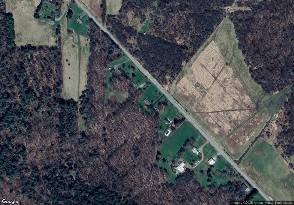
Map
Nearby Homes
- 0 Burton Rd Unit R1628359
- 0 Pine Ridge - Vl Rd
- 0 Pine Ridge Vl Rd
- 878 - 884 - 888 - 89 Busti Sugar Grove Rd
- 455 Creek Rd
- 00 Nutt Rd
- 2724 Mitchell Rd
- 0 Orr St
- 583 Prosser Hill Rd
- 3714 Mead Rd
- 1479 Orr St Extension
- 1520 Trask Rd
- 691 Kiantone Rd
- 938 Spencer Rd
- 0 Garfield Rd
- 942 Spencer Rd
- 3710 Cowing Rd
- 0 Mead Rd Unit R1624975
- 4371 Lawson Rd
- 1139 Spencer Rd
- 3077 Donelson Rd
- 3053 Donelson Rd
- 3087 Donelson Rd
- 3031 Donelson Rd
- 2989 Donelson Rd
- 3117 Donelson Rd
- 3135 Donelson Rd
- 2975 Donelson Rd
- 3191 Donelson Rd
- 3171 Donelson Rd
- 2957 Donelson Rd
- 3181 Donelson Rd
- 2951 Donelson Rd
- 3199 Donelson Rd
- 2946 Donelson Rd
- 3207 Donelson Rd
- 3029 Busti Stillwater Rd
- 3029 Busti-Stillwater Rd
- 3245 Donelson Rd
- 3251 Donelson Rd