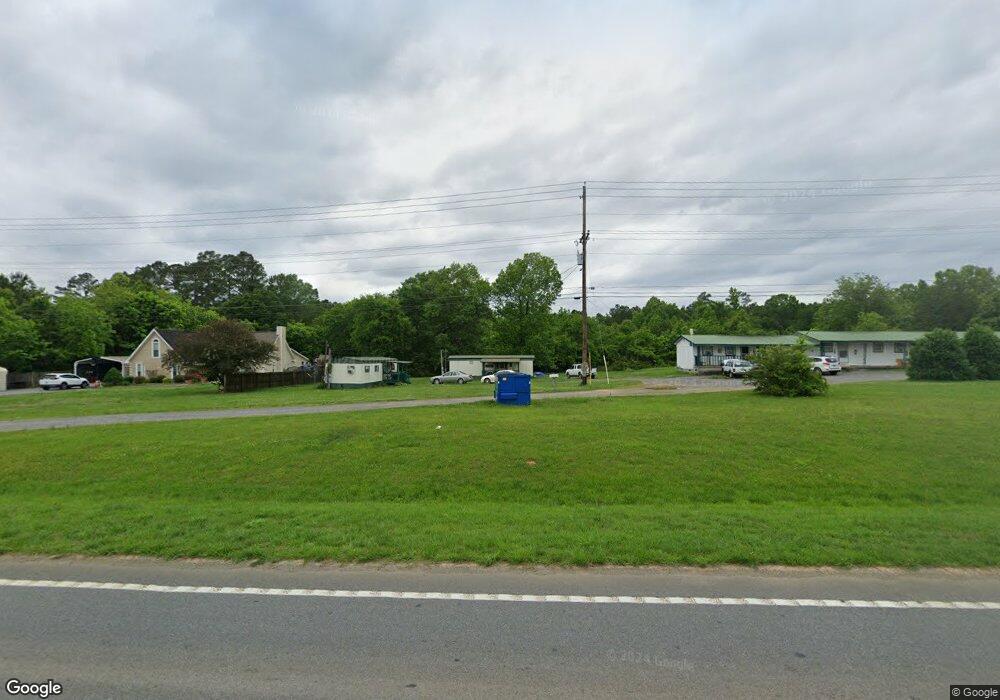
3067 Highway 41 South SW Calhoun, GA 30701
Estimated Value: $67,299 - $183,000
--
Bed
--
Bath
432
Sq Ft
$272/Sq Ft
Est. Value
About This Home
This home is located at 3067 Highway 41 South SW, Calhoun, GA 30701 and is currently estimated at $117,433, approximately $271 per square foot. 3067 Highway 41 South SW is a home with nearby schools including Belwood Elementary School, Ashworth Middle School, and Gordon Central High School.
Ownership History
Date
Name
Owned For
Owner Type
Purchase Details
Closed on
Dec 28, 2015
Sold by
Freeman V Opal
Bought by
Freeman V Opal
Current Estimated Value
Purchase Details
Closed on
Apr 16, 2007
Sold by
Freeman Travis W and Freeman Opal V
Bought by
Freeman Opal V
Purchase Details
Closed on
Nov 10, 2002
Sold by
Freeman Travis
Bought by
Freeman Travis W and Freeman Opal V
Purchase Details
Closed on
Dec 1, 2001
Sold by
Freeman Travis
Bought by
Freeman Travis
Purchase Details
Closed on
Mar 26, 1993
Bought by
Freeman Travis
Purchase Details
Closed on
May 19, 1992
Bought by
Freeman Travis
Create a Home Valuation Report for This Property
The Home Valuation Report is an in-depth analysis detailing your home's value as well as a comparison with similar homes in the area
Home Values in the Area
Average Home Value in this Area
Purchase History
| Date | Buyer | Sale Price | Title Company |
|---|---|---|---|
| Freeman V Opal | -- | -- | |
| Freeman Opal V | -- | -- | |
| Freeman Travis W | -- | -- | |
| Freeman Travis | -- | -- | |
| Freeman Travis | -- | -- | |
| Freeman Travis | -- | -- |
Source: Public Records
Tax History Compared to Growth
Tax History
| Year | Tax Paid | Tax Assessment Tax Assessment Total Assessment is a certain percentage of the fair market value that is determined by local assessors to be the total taxable value of land and additions on the property. | Land | Improvement |
|---|---|---|---|---|
| 2024 | $282 | $11,080 | $7,080 | $4,000 |
| 2023 | $282 | $1,080 | $0 | $1,080 |
| 2022 | $299 | $11,080 | $7,080 | $4,000 |
| 2021 | $240 | $8,560 | $7,520 | $1,040 |
| 2020 | $245 | $8,560 | $7,520 | $1,040 |
| 2019 | $217 | $7,520 | $7,520 | $0 |
| 2018 | $217 | $7,520 | $7,520 | $0 |
| 2017 | $223 | $7,520 | $7,520 | $0 |
| 2016 | $223 | $7,520 | $7,520 | $0 |
Source: Public Records
Map
Nearby Homes
- L2 Taylor Bridge Rd SW
- 19 Dublin Way NW
- 211 Darby Rd SW
- 110 Darby Rd SW
- 770 Johnson Lake Rd SE
- 250 Shady Ln SE
- 110 Hardwood Ridge Dr
- 269 Riverboat Dr
- 277 Belwood Dr SE
- Woodridge Plan at The Landing at Miller’s Ferry
- Kensington Plan at The Landing at Miller’s Ferry
- Northwyck Plan at The Landing at Miller’s Ferry
- Richmond Plan at The Landing at Miller’s Ferry
- Brookhaven Plan at The Landing at Miller’s Ferry
- Newport I Plan at The Landing at Miller’s Ferry
- Wesley Plan at The Landing at Miller’s Ferry
- Newport II Plan at The Landing at Miller’s Ferry
- Richardson Plan at The Landing at Miller’s Ferry
- Dewhurst Plan at The Landing at Miller’s Ferry
- 114 Belwood Dr SE
- 3051 Highway 41 South SW
- 3045 Highway 41 South SW
- 3031 Highway 41 South SW
- 3125 Highway 41 South SE
- 3029 Highway 41 South SW
- 3097 Highway 41 South SW
- 3005 Highway 41 South SW
- 3092 Highway 41 South SE
- 3092 U S 41 Hwy SE
- 3085 Highway 41 South SW
- 2989 Highway 41 South SW
- 3087 Highway 41 South SW
- 3092 U S 41
- 2959 Highway 41 South SW
- 3119 Highway 41 South SW
- 3125 U S 41
- 3092 Highway 41 South Hwy SE
- 688 Darby Rd SW
- 688 Darby Rd SW
- 3212 Highway 41 SE