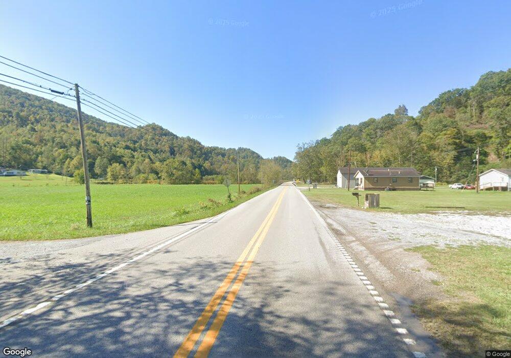
3067 Highway 568 Cranks, KY 40820
Estimated Value: $96,000 - $136,000
--
Bed
--
Bath
1,568
Sq Ft
$74/Sq Ft
Est. Value
About This Home
This home is located at 3067 Highway 568, Cranks, KY 40820 and is currently estimated at $115,626, approximately $73 per square foot. 3067 Highway 568 is a home with nearby schools including Harlan County High School.
Create a Home Valuation Report for This Property
The Home Valuation Report is an in-depth analysis detailing your home's value as well as a comparison with similar homes in the area
Home Values in the Area
Average Home Value in this Area
Tax History Compared to Growth
Tax History
| Year | Tax Paid | Tax Assessment Tax Assessment Total Assessment is a certain percentage of the fair market value that is determined by local assessors to be the total taxable value of land and additions on the property. | Land | Improvement |
|---|---|---|---|---|
| 2024 | $966 | $71,900 | $5,900 | $66,000 |
| 2023 | $970 | $71,900 | $5,900 | $66,000 |
| 2022 | $971 | $71,900 | $5,900 | $66,000 |
| 2021 | $974 | $71,900 | $5,900 | $66,000 |
| 2020 | $976 | $71,900 | $5,900 | $66,000 |
| 2019 | $976 | $71,900 | $5,900 | $66,000 |
| 2018 | $975 | $71,900 | $5,900 | $66,000 |
| 2017 | $967 | $71,900 | $5,900 | $66,000 |
| 2016 | $926 | $71,900 | $5,900 | $66,000 |
| 2013 | $71,900 | $71,900 | $5,900 | $66,000 |
Source: Public Records
Map
Nearby Homes
- 239 Sulphur Springs Rd
- 31 Husky Ln
- 000 Ely Pucketts Creek Rd
- 177 Cane Mill Branch
- 67 Pounding Mill Rd
- 240 Pounding Mill Rd
- 20 Tan Trough Hollow
- 0 Wagoner Town Rd
- 167 Baxter Loop
- Tbd Big Branch Rd
- 136 Cawood Branch Rd
- 120 S Main St
- 3427 Left Poor Valley Rd
- 00 Left Poor Valley Rd
- Tbd Otis Valley Loop
- 8426 U S 421
- 38 Kentucky 38
- 115 Kelly St
- 117 Lisa Ln
- 549 Kildav Loop Rd