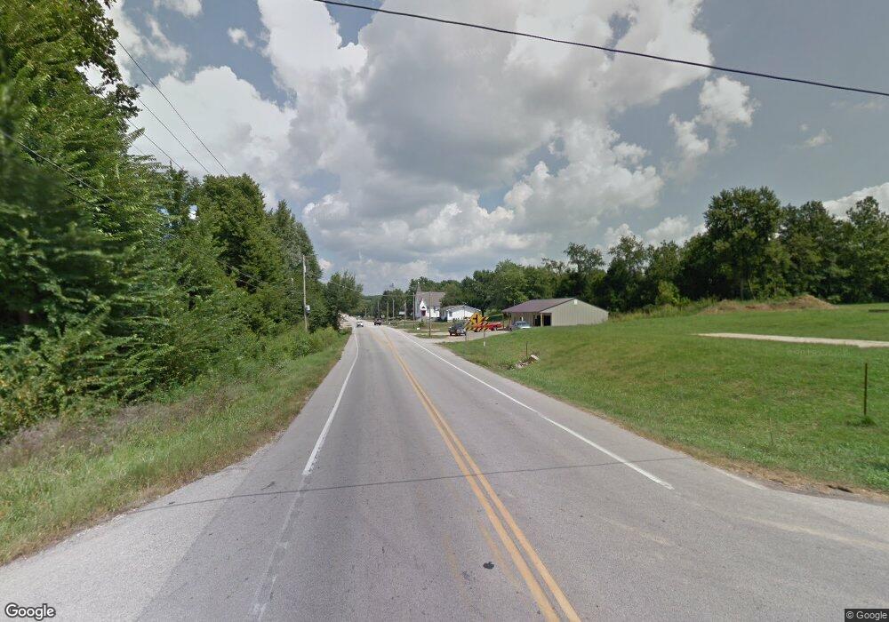
3067 Highway B W Doe Run, MO 63637
Estimated Value: $213,000 - $289,000
3
Beds
1
Bath
2,203
Sq Ft
$116/Sq Ft
Est. Value
About This Home
This home is located at 3067 Highway B W, Doe Run, MO 63637 and is currently estimated at $256,470, approximately $116 per square foot. 3067 Highway B W is a home with nearby schools including Farmington Senior High School.
Ownership History
Date
Name
Owned For
Owner Type
Purchase Details
Closed on
Sep 19, 2019
Sold by
Wolk Construction Co Inc
Bought by
Smith Michael W
Current Estimated Value
Home Financials for this Owner
Home Financials are based on the most recent Mortgage that was taken out on this home.
Original Mortgage
$85,000
Outstanding Balance
$74,453
Interest Rate
3.6%
Mortgage Type
Construction
Estimated Equity
$182,017
Create a Home Valuation Report for This Property
The Home Valuation Report is an in-depth analysis detailing your home's value as well as a comparison with similar homes in the area
Home Values in the Area
Average Home Value in this Area
Purchase History
| Date | Buyer | Sale Price | Title Company |
|---|---|---|---|
| Smith Michael W | $106,250 | -- |
Source: Public Records
Mortgage History
| Date | Status | Borrower | Loan Amount |
|---|---|---|---|
| Open | Smith Michael W | $85,000 |
Source: Public Records
Tax History Compared to Growth
Tax History
| Year | Tax Paid | Tax Assessment Tax Assessment Total Assessment is a certain percentage of the fair market value that is determined by local assessors to be the total taxable value of land and additions on the property. | Land | Improvement |
|---|---|---|---|---|
| 2024 | $1,092 | $22,270 | $2,000 | $20,270 |
| 2023 | $1,092 | $22,270 | $2,000 | $20,270 |
| 2022 | $1,095 | $22,270 | $2,000 | $20,270 |
| 2021 | $1,092 | $22,270 | $2,000 | $20,270 |
| 2020 | $1,099 | $22,270 | $2,000 | $20,270 |
| 2019 | $1,100 | $22,270 | $2,000 | $20,270 |
| 2018 | -- | $14,610 | $1,140 | $13,470 |
| 2017 | -- | $14,610 | $1,140 | $13,470 |
| 2016 | $743 | $14,610 | $0 | $0 |
| 2015 | -- | $14,610 | $0 | $0 |
| 2014 | -- | $14,610 | $0 | $0 |
| 2013 | -- | $14,610 | $0 | $0 |
Source: Public Records
Map
Nearby Homes
- 2718 Watson Rd
- 2979 Sherrill Rd
- 2566 Watson Rd
- 3120 2nd St
- 2920 Arnoldi Rd
- 3600 West Rd
- 2698 Henson Rd
- 960 Ridgetop Dr
- 31 Simms Rd
- 12.5+/-acres Effin Rd
- 102 Timber Ln
- 200 Timber Ln
- 1901 Howell Rd
- 363 Moss Ln
- 1825 Oak Knoll Dr
- 32 Rivermines St
- 489 Shade Tree Ln
- 1835 Woodland Trail Unit 4
- 107 Wildhorse Rd
- 0 W Liberty St Unit MAR25017229
- 1 Hwy B (Off Of)
- 1 Hwy B
- 0 Hwy B Unit 18011094
- 0 Hwy B (Off Of) Unit 10036478
- 0 Hwy B (Off Of) Unit 14040898
- 0 Hwy B Unit 15067478
- 0 Hwy B Unit 9525785
- 0 Hwy B (Off Of) Unit 9529279
- 0 Hwy B Unit 9530059
- 0 Hwy B Unit 18094376
- 3210 Highway B
- 3001 Highway B
- 3043 Highway B
- 3033 Highway B
- 3067 Highway B
- 2868 Watson Rd
- 3204 Highway B
- 2960 Highway B
- 2938 Highway B
- 2778 Watson Rd
