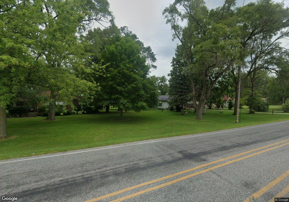
3067 King Rd Saginaw, MI 48601
Bridgeport NeighborhoodEstimated Value: $71,000 - $88,000
1
Bed
1
Bath
720
Sq Ft
$112/Sq Ft
Est. Value
About This Home
This home is located at 3067 King Rd, Saginaw, MI 48601 and is currently estimated at $80,908, approximately $112 per square foot. 3067 King Rd is a home located in Saginaw County with nearby schools including Thomas White School, Martin G. Atkins Elementary School, and Bridgeport High School.
Ownership History
Date
Name
Owned For
Owner Type
Purchase Details
Closed on
Jul 27, 2004
Current Estimated Value
Home Financials for this Owner
Home Financials are based on the most recent Mortgage that was taken out on this home.
Original Mortgage
$42,800
Outstanding Balance
$23,299
Interest Rate
7.5%
Mortgage Type
Purchase Money Mortgage
Estimated Equity
$57,609
Purchase Details
Closed on
Mar 15, 2004
Sold by
Letson Andy C
Bought by
Federal Home Loan Mortgage Corporation
Purchase Details
Closed on
Dec 4, 2003
Sold by
Letson Andy C and Wells Fargo Home Mortgage Inc
Bought by
Federal Home Loan Mortgage Corporation
Purchase Details
Closed on
May 3, 2000
Sold by
Mason Joyce A and Mason Chester V
Bought by
Letson Andy C
Home Financials for this Owner
Home Financials are based on the most recent Mortgage that was taken out on this home.
Original Mortgage
$35,154
Interest Rate
8.24%
Mortgage Type
FHA
Create a Home Valuation Report for This Property
The Home Valuation Report is an in-depth analysis detailing your home's value as well as a comparison with similar homes in the area
Home Values in the Area
Average Home Value in this Area
Purchase History
| Date | Buyer | Sale Price | Title Company |
|---|---|---|---|
| -- | $53,500 | -- | |
| Mainprize Steve D | $53,500 | Fatic | |
| Federal Home Loan Mortgage Corporation | $2,500 | Fatic | |
| Federal Home Loan Mortgage Corporation | $58,580 | -- | |
| Letson Andy C | $35,000 | -- |
Source: Public Records
Mortgage History
| Date | Status | Borrower | Loan Amount |
|---|---|---|---|
| Open | Mainprize Steve D | $42,800 | |
| Previous Owner | Letson Andy C | $35,154 |
Source: Public Records
Tax History Compared to Growth
Tax History
| Year | Tax Paid | Tax Assessment Tax Assessment Total Assessment is a certain percentage of the fair market value that is determined by local assessors to be the total taxable value of land and additions on the property. | Land | Improvement |
|---|---|---|---|---|
| 2025 | $1,305 | $38,100 | $0 | $0 |
| 2024 | $284 | $35,200 | $0 | $0 |
| 2023 | $306 | $0 | $0 | $0 |
| 2022 | $306 | $0 | $0 | $0 |
| 2021 | $540 | $23,600 | $0 | $0 |
| 2020 | $272 | $23,000 | $0 | $0 |
| 2019 | $256 | $21,000 | $5,500 | $15,500 |
| 2018 | $239 | $21,800 | $0 | $0 |
| 2017 | $238 | $21,900 | $0 | $0 |
| 2016 | $238 | $22,100 | $0 | $0 |
| 2014 | -- | $23,500 | $0 | $18,700 |
| 2013 | -- | $23,700 | $0 | $0 |
Source: Public Records
Map
Nearby Homes
- 2840 Greenbriar Dr
- 2820 Greenbriar Dr
- 3780 Mack Rd
- 2846 Briarwood Dr
- 2516 Kansas Ave
- 3565 Diamondale Dr E
- 3531 Creekwood Dr
- 3615 Bernice Dr
- 3482 Creekwood Dr
- 2441 Indiana Ave
- 4051 Old King Rd
- 3524 Chalmers Rd
- 3928 Clutier Rd
- 3407 Tatham Rd
- 2645 Tatham Rd
- 2631 Tatham Rd
- 2500 Oregon Ave
- 3195 Dixie Ct
- 3040 S Towerline Rd
- 0 Dixie Unit 50157060
