3067 St Armand Rd Swanton, VT 05488
Estimated Value: $294,882 - $373,000
4
Beds
1
Bath
1,504
Sq Ft
$230/Sq Ft
Est. Value
About This Home
This home is located at 3067 St Armand Rd, Swanton, VT 05488 and is currently estimated at $345,971, approximately $230 per square foot. 3067 St Armand Rd is a home located in Franklin County with nearby schools including Highgate Elementary School and Missisquoi Valley Union Middle/High School.
Ownership History
Date
Name
Owned For
Owner Type
Purchase Details
Closed on
Oct 31, 2001
Sold by
Vermont Housing Finance Agency
Bought by
Parent Jacques Y and Parent Mariel J
Current Estimated Value
Purchase Details
Closed on
Aug 13, 2001
Sold by
Gagne Leslie J
Bought by
Vermont Housing Finance
Create a Home Valuation Report for This Property
The Home Valuation Report is an in-depth analysis detailing your home's value as well as a comparison with similar homes in the area
Home Values in the Area
Average Home Value in this Area
Purchase History
| Date | Buyer | Sale Price | Title Company |
|---|---|---|---|
| Parent Jacques Y | $50,000 | -- | |
| Vermont Housing Finance | -- | -- |
Source: Public Records
Tax History
| Year | Tax Paid | Tax Assessment Tax Assessment Total Assessment is a certain percentage of the fair market value that is determined by local assessors to be the total taxable value of land and additions on the property. | Land | Improvement |
|---|---|---|---|---|
| 2024 | $1,128 | $212,500 | $46,000 | $166,500 |
| 2023 | $1,128 | $212,500 | $46,000 | $166,500 |
| 2022 | $987 | $56,000 | $46,000 | $10,000 |
| 2021 | $1,002 | $56,000 | $46,000 | $10,000 |
| 2020 | $2,482 | $141,000 | $46,000 | $95,000 |
| 2019 | $2,421 | $141,000 | $46,000 | $95,000 |
| 2018 | $2,231 | $141,000 | $46,000 | $95,000 |
| 2017 | $2,224 | $141,000 | $46,000 | $95,000 |
| 2016 | $2,094 | $141,000 | $46,000 | $95,000 |
Source: Public Records
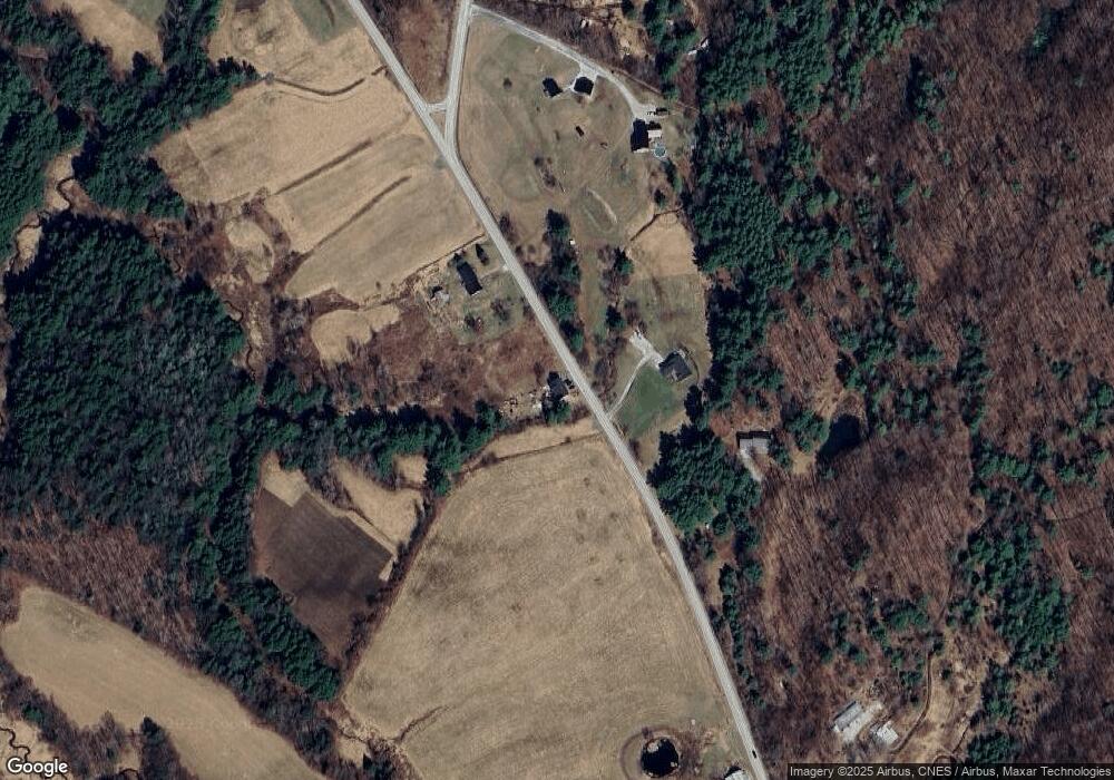
Map
Nearby Homes
- 3034 St Armand Rd
- 3133 St Armand Rd
- 2996 St Armand Rd
- 66B Rollo Rd
- 5 Rollo Rd
- 4 Rollo Rd
- 13 Rollo Rd
- 64 Rollo Rd
- 3303 St Armand Rd
- 0 St Armand Rd Unit 4605981
- 0 St Armand Rd Unit 1 4718360
- 13 Pauls Ct
- 88 Rollo Rd
- 31 Pauls Ct
- 2826 St Armand Rd
- 2819 Saint Armand Rd
- 2826 St Armand Rd
- 118 Rollo Rd
- 145 Rollo Rd
- 3385 St Armand Rd
Your Personal Tour Guide
Ask me questions while you tour the home.