30675 SW Bald Peak Rd Hillsboro, OR 97123
Estimated Value: $933,260 - $1,223,000
4
Beds
2
Baths
2,108
Sq Ft
$511/Sq Ft
Est. Value
About This Home
This home is located at 30675 SW Bald Peak Rd, Hillsboro, OR 97123 and is currently estimated at $1,078,130, approximately $511 per square foot. 30675 SW Bald Peak Rd is a home located in Washington County with nearby schools including Farmington View Elementary School, South Meadows Middle School, and Hillsboro High School.
Ownership History
Date
Name
Owned For
Owner Type
Purchase Details
Closed on
Jun 25, 2021
Sold by
Casessa John A
Bought by
Casessa John A and Leath Christine G
Current Estimated Value
Purchase Details
Closed on
Jun 12, 2001
Sold by
Bernhardt Darryl J
Bought by
Casessa John A
Home Financials for this Owner
Home Financials are based on the most recent Mortgage that was taken out on this home.
Original Mortgage
$275,000
Outstanding Balance
$102,281
Interest Rate
7.14%
Estimated Equity
$975,849
Purchase Details
Closed on
Jul 13, 1999
Sold by
Hellman Ronald G and Hellman Donna G
Bought by
Bernhardt Darryl J
Home Financials for this Owner
Home Financials are based on the most recent Mortgage that was taken out on this home.
Original Mortgage
$330,000
Interest Rate
7.12%
Create a Home Valuation Report for This Property
The Home Valuation Report is an in-depth analysis detailing your home's value as well as a comparison with similar homes in the area
Home Values in the Area
Average Home Value in this Area
Purchase History
| Date | Buyer | Sale Price | Title Company |
|---|---|---|---|
| Casessa John A | -- | None Available | |
| Casessa John A | $417,500 | First American | |
| Bernhardt Darryl J | $412,500 | Chicago Title Insurance Co |
Source: Public Records
Mortgage History
| Date | Status | Borrower | Loan Amount |
|---|---|---|---|
| Open | Casessa John A | $275,000 | |
| Previous Owner | Bernhardt Darryl J | $330,000 |
Source: Public Records
Tax History Compared to Growth
Tax History
| Year | Tax Paid | Tax Assessment Tax Assessment Total Assessment is a certain percentage of the fair market value that is determined by local assessors to be the total taxable value of land and additions on the property. | Land | Improvement |
|---|---|---|---|---|
| 2025 | $4,391 | $348,180 | -- | -- |
| 2024 | $4,269 | $338,230 | -- | -- |
| 2023 | $4,269 | $328,440 | $0 | $0 |
| 2022 | $4,161 | $328,440 | $0 | $0 |
| 2021 | $4,090 | $309,890 | $0 | $0 |
| 2020 | $4,007 | $300,990 | $0 | $0 |
| 2019 | $3,719 | $281,700 | $0 | $0 |
| 2018 | $3,923 | $298,070 | $0 | $0 |
| 2017 | $3,669 | $280,200 | $0 | $0 |
| 2016 | $3,542 | $277,770 | $0 | $0 |
| 2015 | $3,546 | $282,200 | $0 | $0 |
| 2014 | $3,531 | $273,770 | $0 | $0 |
Source: Public Records
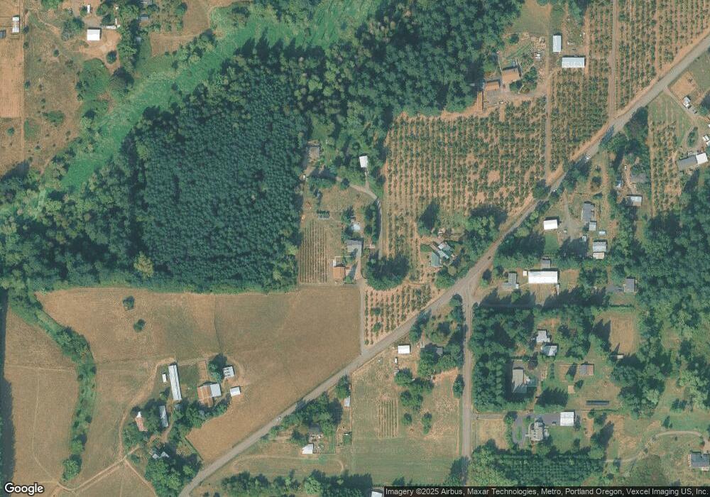
Map
Nearby Homes
- 30190 SW Bald Peak Rd
- 32333 SW Laurel Rd
- 13725 SW 329th Terrace
- 34160 SW Peaks View Dr
- 35963 SW Bald Peak Rd
- 31155 SW Laurelview Rd
- 24730 SW Tile Flat Rd
- 16532 SW Holly Hill Rd
- 16935 SW Holly Hill Rd
- 5680 SW Minter Bridge Rd
- 17350 SW Finnigan Hill Rd
- 5983 SW River Rd
- 34142 SW Johnson School Rd
- 25480 SW Rainbow Ln
- 6560 SW Rood Bridge Rd
- 34990 SW Cloudrest Ln
- 6970 SW Straughan Rd
- 22900 SW Holly Hill Rd
- 28800 SW Wildhaven Ln
- 0 SW McCormick Hill Rd Unit 203173293
- 30675 SW B P Rd (New List #)
- 30663 SW Bald Peak Rd
- 11510 SW Campbell Rd
- 30790 SW Bald Peak Rd
- 11600 SW Campbell Rd
- 11622 SW Campbell Rd
- 30400 SW Bald Peak Rd
- 11726 SW Campbell Rd
- 11528 SW Campbell Rd
- 11855 SW Campbell Rd
- 30266 SW Bald Peak Rd
- 11925 SW Campbell Rd
- 30220 SW Bald Peak Rd
- 31000 SW Bald Peak Rd
- 31080 SW Firdale Rd
- 11760 SW Campbell Rd
- 30200 SW Bald Peak Rd
- 31170 SW Firdale Rd
- 31101 SW Firdale Rd
- 31395 SW Firdale Rd