30688 S Oswalt Rd Colton, OR 97017
Estimated Value: $653,000 - $956,340
3
Beds
2
Baths
1,826
Sq Ft
$444/Sq Ft
Est. Value
About This Home
This home is located at 30688 S Oswalt Rd, Colton, OR 97017 and is currently estimated at $810,113, approximately $443 per square foot. 30688 S Oswalt Rd is a home located in Clackamas County with nearby schools including Colton Elementary School, Colton Middle School, and Colton High School.
Ownership History
Date
Name
Owned For
Owner Type
Purchase Details
Closed on
May 27, 2003
Sold by
Odell Patrick Lloyd and Odell Dorothy Bernice
Bought by
Odell Patrick and Odell Dorothy
Current Estimated Value
Home Financials for this Owner
Home Financials are based on the most recent Mortgage that was taken out on this home.
Original Mortgage
$302,000
Outstanding Balance
$129,737
Interest Rate
5.75%
Mortgage Type
Unknown
Estimated Equity
$680,376
Create a Home Valuation Report for This Property
The Home Valuation Report is an in-depth analysis detailing your home's value as well as a comparison with similar homes in the area
Home Values in the Area
Average Home Value in this Area
Purchase History
| Date | Buyer | Sale Price | Title Company |
|---|---|---|---|
| Odell Patrick | -- | Pacific Nw Title |
Source: Public Records
Mortgage History
| Date | Status | Borrower | Loan Amount |
|---|---|---|---|
| Open | Odell Patrick | $302,000 |
Source: Public Records
Tax History Compared to Growth
Tax History
| Year | Tax Paid | Tax Assessment Tax Assessment Total Assessment is a certain percentage of the fair market value that is determined by local assessors to be the total taxable value of land and additions on the property. | Land | Improvement |
|---|---|---|---|---|
| 2025 | $2,491 | $205,126 | -- | -- |
| 2024 | $2,519 | $199,175 | -- | -- |
| 2023 | $2,519 | $193,387 | $0 | $0 |
| 2022 | $2,349 | $187,777 | $0 | $0 |
| 2021 | $2,243 | $182,323 | $0 | $0 |
| 2020 | $2,177 | $177,018 | $0 | $0 |
| 2019 | $2,120 | $171,879 | $0 | $0 |
| 2018 | $2,065 | $166,881 | $0 | $0 |
| 2017 | $2,013 | $162,021 | $0 | $0 |
| 2016 | $1,909 | $154,441 | $0 | $0 |
| 2015 | $1,858 | $149,942 | $0 | $0 |
| 2014 | $1,732 | $145,586 | $0 | $0 |
Source: Public Records
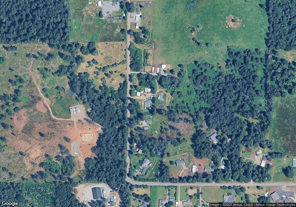
Map
Nearby Homes
- 30811 S Oswalt Rd
- 30725 S Wall St
- 19807 S Highway 211
- 19345 S Rockney Rd
- 30886 S Marian St
- 30850 S Marian St
- 29882 S Hult Rd
- 19400 S Frank Rd
- 32553 S Dhooghe Rd
- 18247 S Highway 211
- 18215 Oregon 211
- 18863 S Norry Ct
- 29555 S Beavercreek Rd
- 0 S Hult Rd
- 27882 S Mote Ln
- 22816 S Bonney Rd
- 23456 S Schieffer Rd
- 16290 S Riverview Rd
- 23533 S Bonney Rd
- 19498 S Ramsby Rd
- 30706 S Oswalt Rd
- 30666 S Oswalt Rd
- 30726 S Oswalt Rd
- 30736 S Oswalt Rd
- 30746 S Oswalt Rd
- 30636 S Oswalt Rd
- 30776 S Oswalt Rd
- 30671 S Oswalt Rd
- 30756 S Oswalt Rd
- 30741 S Oswalt Rd
- 30731 S Oswalt Rd
- 30766 S Oswalt Rd
- 30729 S Oswalt Rd
- 30751 S Oswalt Rd
- 30610 S Oswalt Rd
- 30788 S Oswalt Rd
- 30761 S Oswalt Rd
- 30775 S Oswalt Rd
- 30606 S Oswalt Rd
- 30806 S Oswalt Rd