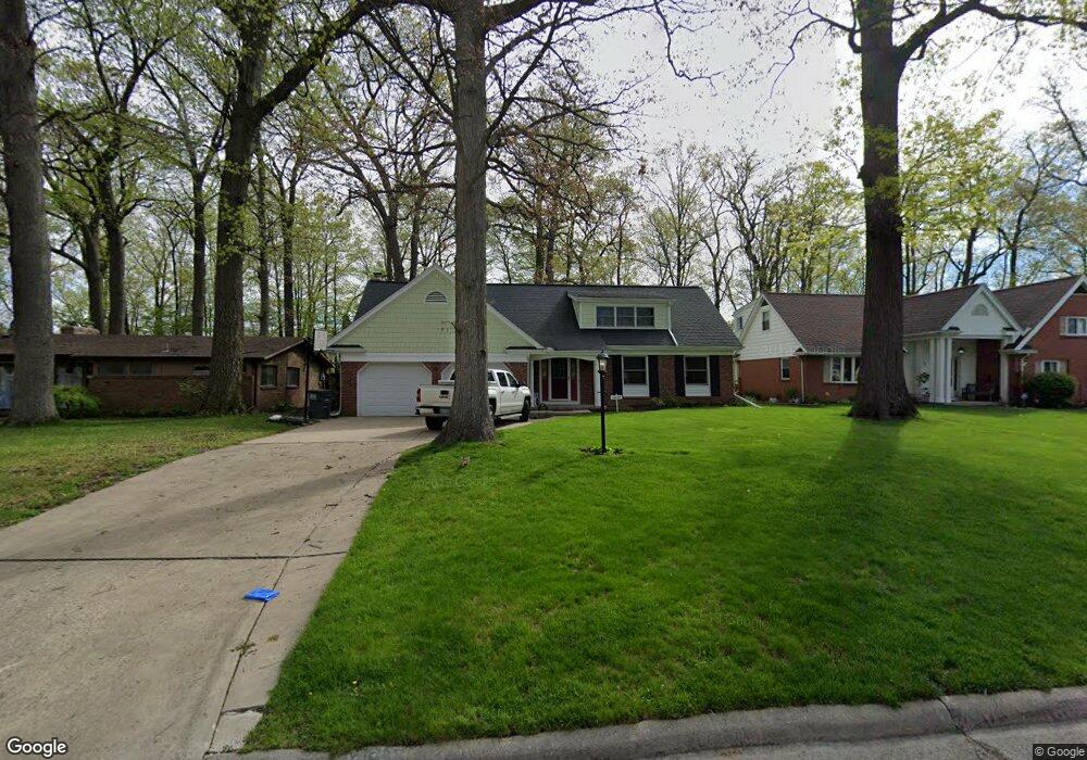
3069 Dorian Dr Toledo, OH 43614
Beverly NeighborhoodEstimated Value: $229,000 - $281,000
3
Beds
2
Baths
2,487
Sq Ft
$101/Sq Ft
Est. Value
About This Home
This home is located at 3069 Dorian Dr, Toledo, OH 43614 and is currently estimated at $251,505, approximately $101 per square foot. 3069 Dorian Dr is a home located in Lucas County with nearby schools including Beverly Elementary School, Bowsher High School, and St. Patrick of Heatherdowns School.
Ownership History
Date
Name
Owned For
Owner Type
Purchase Details
Closed on
Jan 31, 2001
Sold by
Harms Dale H and Harms Margaret A
Bought by
Harms James F and Harms Tracy L
Current Estimated Value
Home Financials for this Owner
Home Financials are based on the most recent Mortgage that was taken out on this home.
Original Mortgage
$100,000
Interest Rate
7.22%
Purchase Details
Closed on
Jun 2, 1999
Sold by
Harms Harms D and Harms M A
Bought by
Harms Dale H and Harms Margaret A
Create a Home Valuation Report for This Property
The Home Valuation Report is an in-depth analysis detailing your home's value as well as a comparison with similar homes in the area
Home Values in the Area
Average Home Value in this Area
Purchase History
| Date | Buyer | Sale Price | Title Company |
|---|---|---|---|
| Harms James F | $125,000 | Northwest Title Agency Of Oh | |
| Harms Dale H | -- | -- |
Source: Public Records
Mortgage History
| Date | Status | Borrower | Loan Amount |
|---|---|---|---|
| Closed | Harms James F | $100,000 |
Source: Public Records
Tax History Compared to Growth
Tax History
| Year | Tax Paid | Tax Assessment Tax Assessment Total Assessment is a certain percentage of the fair market value that is determined by local assessors to be the total taxable value of land and additions on the property. | Land | Improvement |
|---|---|---|---|---|
| 2024 | $2,544 | $84,875 | $9,870 | $75,005 |
| 2023 | $4,259 | $67,830 | $9,415 | $58,415 |
| 2022 | $4,255 | $67,830 | $9,415 | $58,415 |
| 2021 | $4,363 | $67,830 | $9,415 | $58,415 |
| 2020 | $4,106 | $56,455 | $7,840 | $48,615 |
| 2019 | $4,009 | $56,455 | $7,840 | $48,615 |
| 2018 | $3,896 | $56,455 | $7,840 | $48,615 |
| 2017 | $3,834 | $51,100 | $8,260 | $42,840 |
| 2016 | $3,814 | $146,000 | $23,600 | $122,400 |
| 2015 | $3,775 | $146,000 | $23,600 | $122,400 |
| 2014 | $3,214 | $51,100 | $8,260 | $42,840 |
| 2013 | $3,214 | $51,100 | $8,260 | $42,840 |
Source: Public Records
Map
Nearby Homes
- 3044 Villa Dr
- 5022 Stengel Ave
- 5125 Stengel Ave
- 4035 Greencrest Ln
- 3121 Daleford Dr
- 4113 S Detroit Ave
- 4320 Beverly Dr
- 1220 Birch Ave
- 764 Inwood Place
- 4125 Rugby Dr
- 4224 Beverly Dr
- 812 Loch Haven Blvd
- 724 Inwood Place
- 855 Lamonde Dr
- 26 Terrace Downs St
- 4237 Brogan Dr
- 1466 Wilderness Dr
- 1057 Keeler St
- 2752 Medford Dr
- 1181 Craig Rd