30695 S Highway 213 Molalla, OR 97038
Estimated Value: $707,000 - $2,368,000
3
Beds
1
Bath
1,795
Sq Ft
$823/Sq Ft
Est. Value
About This Home
This home is located at 30695 S Highway 213, Molalla, OR 97038 and is currently estimated at $1,477,186, approximately $822 per square foot. 30695 S Highway 213 is a home located in Clackamas County with nearby schools including Oregon Outreach - Molalla Pride.
Ownership History
Date
Name
Owned For
Owner Type
Purchase Details
Closed on
Aug 29, 2011
Sold by
Moorhouse Roy D and Moorhouse Kristi L
Bought by
Dickman Farms Inc
Current Estimated Value
Home Financials for this Owner
Home Financials are based on the most recent Mortgage that was taken out on this home.
Original Mortgage
$1,070,000
Outstanding Balance
$617,316
Interest Rate
4.46%
Mortgage Type
Unknown
Estimated Equity
$859,870
Purchase Details
Closed on
Sep 19, 2001
Sold by
R D Moorhouse Llc
Bought by
Moorhouse Roy D and Moorhouse Kristi L
Purchase Details
Closed on
Jan 10, 2000
Sold by
Moorhouse Roy D and Moorhouse Kristi L
Bought by
R D Moorhouse Llc
Create a Home Valuation Report for This Property
The Home Valuation Report is an in-depth analysis detailing your home's value as well as a comparison with similar homes in the area
Home Values in the Area
Average Home Value in this Area
Purchase History
| Date | Buyer | Sale Price | Title Company |
|---|---|---|---|
| Dickman Farms Inc | $1,050,000 | Ticor Title | |
| Moorhouse Roy D | -- | First American Title Ins Co | |
| R D Moorhouse Llc | -- | First American Title Ins Co |
Source: Public Records
Mortgage History
| Date | Status | Borrower | Loan Amount |
|---|---|---|---|
| Open | Dickman Farms Inc | $1,070,000 |
Source: Public Records
Tax History Compared to Growth
Tax History
| Year | Tax Paid | Tax Assessment Tax Assessment Total Assessment is a certain percentage of the fair market value that is determined by local assessors to be the total taxable value of land and additions on the property. | Land | Improvement |
|---|---|---|---|---|
| 2025 | $4,243 | $313,627 | -- | -- |
| 2024 | $4,110 | $304,668 | -- | -- |
| 2023 | $4,110 | $295,935 | $0 | $0 |
| 2022 | $3,436 | $287,518 | $0 | $0 |
| 2021 | $3,281 | $279,319 | $0 | $0 |
| 2020 | $3,193 | $271,337 | $0 | $0 |
| 2019 | $3,101 | $263,567 | $0 | $0 |
| 2018 | $3,019 | $256,099 | $0 | $0 |
| 2017 | $2,851 | $248,732 | $0 | $0 |
| 2016 | $2,676 | $241,661 | $0 | $0 |
| 2015 | $2,601 | $234,699 | $0 | $0 |
| 2014 | $2,518 | $228,027 | $0 | $0 |
Source: Public Records
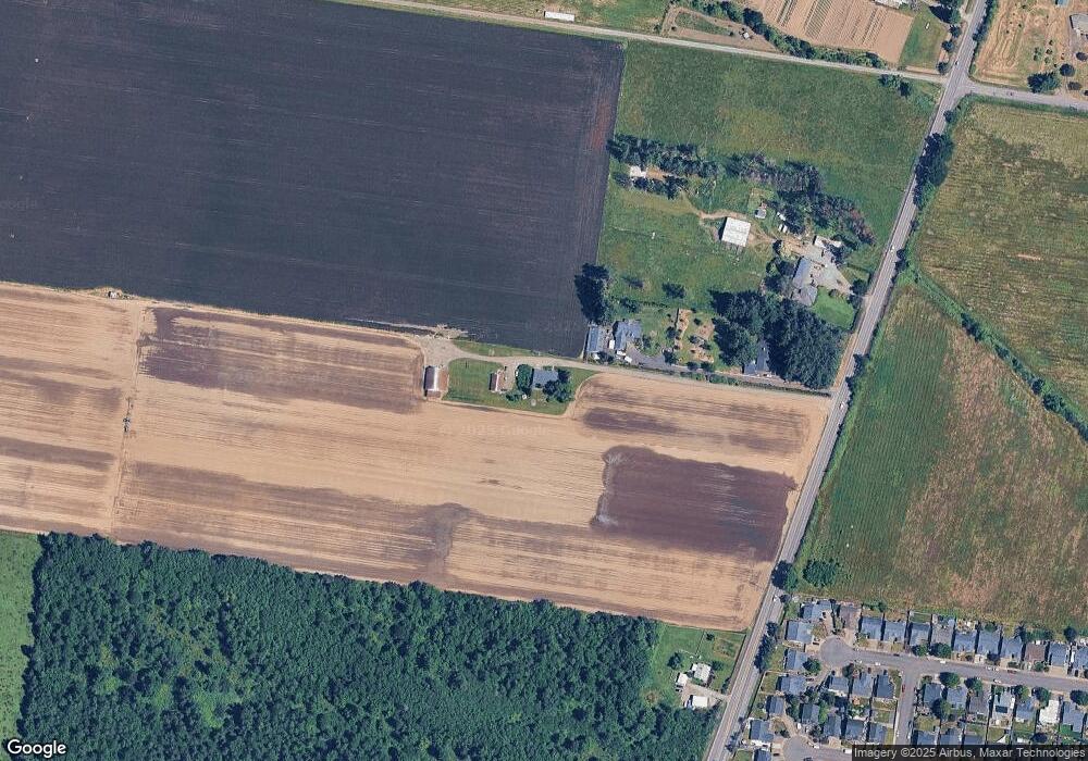
Map
Nearby Homes
- 30683 S Highway 213
- 701 Oriental Ct
- 714 Saint James Place
- 33953 Oregon 213
- 947 Meadowlark Place
- 863 June Dr
- 31430 Oregon 213
- 1522 W Main St
- 340 Doug Fir Ln
- 29891 S Highway 213
- 1406 W Main St
- 843 Julie Ln
- 1014 S View Dr
- 900 Bear Creek Dr
- 902 S View Dr
- 850 N Valley Dr
- 569 June Dr
- 31514 S Bear Meadow Ct
- 0 W Main St Unit 765814723
- B2 Plan at River Meadows
- 30681 S Highway 213
- 30637 S Highway 213
- 30837 S Highway 213
- 1419 Mount View Ln
- 1419 Mountain View Ln
- 1425 Mount View Ln
- 1425 Mountain View Ln
- 1424 Mountain View Ln
- 1418 Mt View Ln
- 1418 Mountain View Ln
- 1425 Homestead Place
- 1413 Mountain View Ln
- 1431 Homestead Place
- 30539 S Highway 213
- 1430 Homestead Place
- 1407 Mountain View Ln
- 1419 Homestead Place
- 1412 Mountain View Ln
- 1424 Homestead Place
- 1401 Mountain View Ln