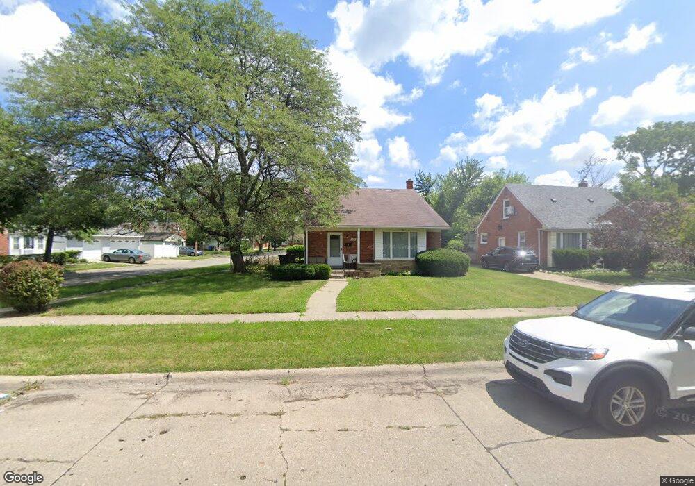
307 Brentwood St Inkster, MI 48141
Estimated Value: $141,048 - $164,000
3
Beds
2
Baths
1,074
Sq Ft
$142/Sq Ft
Est. Value
About This Home
This home is located at 307 Brentwood St, Inkster, MI 48141 and is currently estimated at $152,012, approximately $141 per square foot. 307 Brentwood St is a home located in Wayne County with nearby schools including David Hicks School, Marshall Upper Elementary School, and John Glenn High School.
Ownership History
Date
Name
Owned For
Owner Type
Purchase Details
Closed on
Sep 15, 2010
Sold by
Vorrco & Associates Llc
Bought by
Nb Global Llc
Current Estimated Value
Purchase Details
Closed on
Jun 6, 2007
Sold by
Mortgage Electronic Registration Systems
Bought by
Bank Of New York and Cwabs 2005-01 Inc
Purchase Details
Closed on
Apr 18, 2007
Sold by
Williams Charles and Williams Tracy
Bought by
Mortgage Electronic Registration Systems
Purchase Details
Closed on
Feb 5, 2001
Sold by
Aro Elsa A
Bought by
Aro Elsa A
Create a Home Valuation Report for This Property
The Home Valuation Report is an in-depth analysis detailing your home's value as well as a comparison with similar homes in the area
Home Values in the Area
Average Home Value in this Area
Purchase History
| Date | Buyer | Sale Price | Title Company |
|---|---|---|---|
| Nb Global Llc | -- | None Available | |
| Bank Of New York | -- | None Available | |
| Mortgage Electronic Registration Systems | $90,000 | None Available | |
| Aro Elsa A | -- | -- |
Source: Public Records
Tax History Compared to Growth
Tax History
| Year | Tax Paid | Tax Assessment Tax Assessment Total Assessment is a certain percentage of the fair market value that is determined by local assessors to be the total taxable value of land and additions on the property. | Land | Improvement |
|---|---|---|---|---|
| 2025 | $1,724 | $63,500 | $0 | $0 |
| 2024 | $1,724 | $53,100 | $0 | $0 |
| 2023 | $1,702 | $42,300 | $0 | $0 |
| 2022 | $1,979 | $34,200 | $0 | $0 |
| 2021 | $2,067 | $30,900 | $0 | $0 |
| 2020 | $2,021 | $26,200 | $0 | $0 |
| 2019 | $2,012 | $21,900 | $0 | $0 |
| 2018 | $1,540 | $20,400 | $0 | $0 |
| 2017 | $647 | $20,200 | $0 | $0 |
| 2016 | $1,975 | $20,300 | $0 | $0 |
| 2015 | $2,700 | $27,000 | $0 | $0 |
| 2013 | $3,305 | $36,500 | $0 | $0 |
| 2012 | $2,935 | $38,400 | $4,300 | $34,100 |
Source: Public Records
Map
Nearby Homes
- 256 Brentwood St
- 420 Fairwood St
- 742 Arlington St
- 26607 Monticello St
- 148 Rosemary St
- 811 Arlington St
- 26476 Stollman Dr
- 212 Shadowlawn St
- 26508 Monticello St
- 9 Canfield Cir
- 1014 Arlington St
- 26251 Somerset Dr
- 6 Canfield Cir
- 784 Patterson Ct
- 1088 Arlington St
- 391 Arcola St
- 375 Arcola St
- VACANT LOT Tromley St
- 26431 Sunningdale Dr
- 27455 Avondale St
- 317 Brentwood St
- 325 Brentwood St
- 279 Brentwood St
- 333 Brentwood St
- 302 Amherst St
- 308 Amherst St
- 269 Brentwood St
- 248 Amherst St
- 341 Brentwood St
- 310 Brentwood St
- 318 Brentwood St
- 314 Amherst St
- 302 Brentwood St
- 326 Brentwood St
- 240 Amherst St
- 259 Brentwood St
- 349 Brentwood St
- 320 Amherst St
- 334 Brentwood St
- 280 Brentwood St