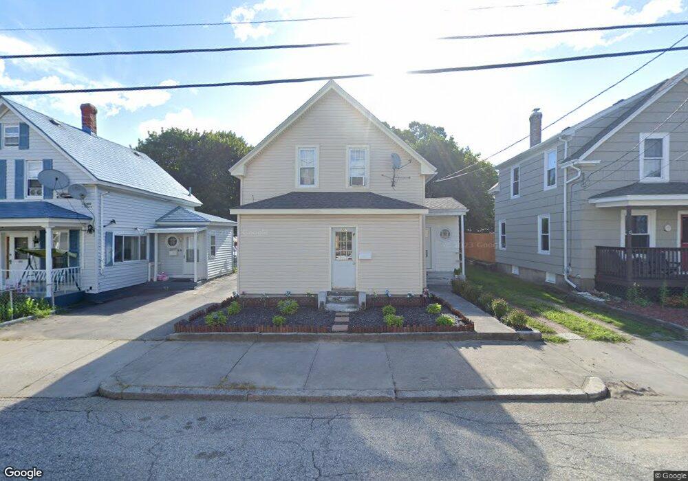
307 Burnside Ave Woonsocket, RI 02895
East Woonsocket NeighborhoodEstimated Value: $310,000 - $388,000
3
Beds
2
Baths
1,246
Sq Ft
$286/Sq Ft
Est. Value
About This Home
This home is located at 307 Burnside Ave, Woonsocket, RI 02895 and is currently estimated at $355,861, approximately $285 per square foot. 307 Burnside Ave is a home located in Providence County with nearby schools including Woonsocket High School, Rise Prep Mayoral Academy Middle School, and Rise Prep Mayoral Academy.
Ownership History
Date
Name
Owned For
Owner Type
Purchase Details
Closed on
Oct 10, 1996
Sold by
Pellerin Grace D
Bought by
Joinville Roger H and Joinville Parfilia
Current Estimated Value
Create a Home Valuation Report for This Property
The Home Valuation Report is an in-depth analysis detailing your home's value as well as a comparison with similar homes in the area
Home Values in the Area
Average Home Value in this Area
Purchase History
| Date | Buyer | Sale Price | Title Company |
|---|---|---|---|
| Joinville Roger H | $63,000 | -- | |
| Joinville Roger H | $63,000 | -- |
Source: Public Records
Mortgage History
| Date | Status | Borrower | Loan Amount |
|---|---|---|---|
| Open | Joinville Roger H | $168,000 | |
| Closed | Joinville Roger H | $138,000 | |
| Closed | Joinville Roger H | $119,000 |
Source: Public Records
Tax History
| Year | Tax Paid | Tax Assessment Tax Assessment Total Assessment is a certain percentage of the fair market value that is determined by local assessors to be the total taxable value of land and additions on the property. | Land | Improvement |
|---|---|---|---|---|
| 2025 | $3,046 | $271,200 | $89,400 | $181,800 |
| 2024 | $3,155 | $217,000 | $91,000 | $126,000 |
| 2023 | $3,034 | $217,000 | $91,000 | $126,000 |
| 2022 | $3,034 | $217,000 | $91,000 | $126,000 |
| 2021 | $2,453 | $103,300 | $37,100 | $66,200 |
| 2020 | $2,479 | $103,300 | $37,100 | $66,200 |
| 2018 | $2,487 | $103,300 | $37,100 | $66,200 |
| 2017 | $3,182 | $105,700 | $40,600 | $65,100 |
| 2016 | $3,365 | $105,700 | $40,600 | $65,100 |
| 2015 | $3,867 | $105,700 | $40,600 | $65,100 |
| 2014 | $2,591 | $103,000 | $44,700 | $58,300 |
Source: Public Records
Map
Nearby Homes
- 538 Wood Ave
- 551 Wood Ave
- 685 Social St Unit 308
- 685 Social St Unit 313
- 90 Mill St Unit 202
- 92 Mill St Unit 303
- 108 Mill St Unit 104
- 40 Burnside Ave
- 60 Rathbun St
- 263 Elm St
- 311 Elm St
- 568 Elm St
- 56 Mailloux St
- 51 Wood Ave
- 13 Ethel St
- 256 Privilege St
- 0 Diamond Hill Rd Unit 1406968
- 213 St Louis Ave
- 18 Villa Nova St
- Lot 2 Pulaski Blvd
- 297 Burnside Ave
- 323 Burnside Ave
- 287 Burnside Ave
- 444 Wood Ave
- 460 Wood Ave
- 277 Burnside Ave
- 454 Wood Ave
- 432 Wood Ave
- 310 Burnside Ave
- 302 Burnside Ave
- 294 Burnside Ave
- 267 Burnside Ave
- 480 Wood Ave
- 430 Wood Ave
- 420 Wood Ave
- 292 Burnside Ave
- 324 Burnside Ave
- 259 Burnside Ave
- 261 Burnside Ave
- 261 Burnside Ave Unit 2
Your Personal Tour Guide
Ask me questions while you tour the home.