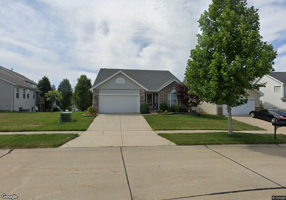
307 Chalmers St Unit 82 Saint Peters, MO 63376
Estimated Value: $404,888 - $419,000
3
Beds
2
Baths
1,756
Sq Ft
$235/Sq Ft
Est. Value
About This Home
This home is located at 307 Chalmers St Unit 82, Saint Peters, MO 63376 and is currently estimated at $411,972, approximately $234 per square foot. 307 Chalmers St Unit 82 is a home located in St. Charles County with nearby schools including Lewis & Clark Elementary School, Dr. Bernard J. Dubray Middle School, and Fort Zumwalt East High School.
Ownership History
Date
Name
Owned For
Owner Type
Purchase Details
Closed on
Apr 7, 2011
Sold by
Mcbride Bellemeade Llc
Bought by
Gutting Garret J and Gutting Lauren M
Current Estimated Value
Home Financials for this Owner
Home Financials are based on the most recent Mortgage that was taken out on this home.
Original Mortgage
$158,400
Outstanding Balance
$110,197
Interest Rate
4.98%
Mortgage Type
New Conventional
Estimated Equity
$301,775
Purchase Details
Closed on
Jul 13, 2010
Sold by
First Bank
Bought by
Mcbride Bellemeade Llc
Create a Home Valuation Report for This Property
The Home Valuation Report is an in-depth analysis detailing your home's value as well as a comparison with similar homes in the area
Home Values in the Area
Average Home Value in this Area
Purchase History
| Date | Buyer | Sale Price | Title Company |
|---|---|---|---|
| Gutting Garret J | $198,000 | Dependable Title Llc | |
| Mcbride Bellemeade Llc | -- | Ust |
Source: Public Records
Mortgage History
| Date | Status | Borrower | Loan Amount |
|---|---|---|---|
| Open | Gutting Garret J | $158,400 |
Source: Public Records
Tax History Compared to Growth
Tax History
| Year | Tax Paid | Tax Assessment Tax Assessment Total Assessment is a certain percentage of the fair market value that is determined by local assessors to be the total taxable value of land and additions on the property. | Land | Improvement |
|---|---|---|---|---|
| 2025 | $4,916 | $74,833 | -- | -- |
| 2023 | $4,884 | $68,707 | $0 | $0 |
| 2022 | $4,432 | $58,410 | $0 | $0 |
| 2021 | $4,425 | $58,410 | $0 | $0 |
| 2020 | $4,089 | $52,304 | $0 | $0 |
| 2019 | $4,080 | $52,304 | $0 | $0 |
| 2018 | $3,899 | $48,038 | $0 | $0 |
| 2017 | $3,882 | $48,038 | $0 | $0 |
| 2016 | $3,521 | $43,460 | $0 | $0 |
| 2015 | $3,295 | $43,460 | $0 | $0 |
| 2014 | $2,799 | $36,115 | $0 | $0 |
Source: Public Records
Map
Nearby Homes
- 528 Selene St
- 833 Harding St
- 138 Rhythm Point Dr
- Brookmont Plan at Ryehill Manor
- Parker Plan at Ryehill Manor
- Whitehall Plan at Ryehill Manor
- Lansford Plan at Ryehill Manor
- Stratton Plan at Ryehill Manor
- Winslow Plan at Ryehill Manor
- Carver Plan at Ryehill Manor
- Waverly Plan at Ryehill Manor
- 525 Ryehill Dr
- 1 Brookmont @ Ryehill Manor
- 50 Oak Hill Ln
- 16 Oxbow Rd
- 8 Cross Trail Ln
- 26 Jane Dr
- 426 Cambridge Place
- 420 Cambridge Place Unit 2
- 406 S Church St Unit 128