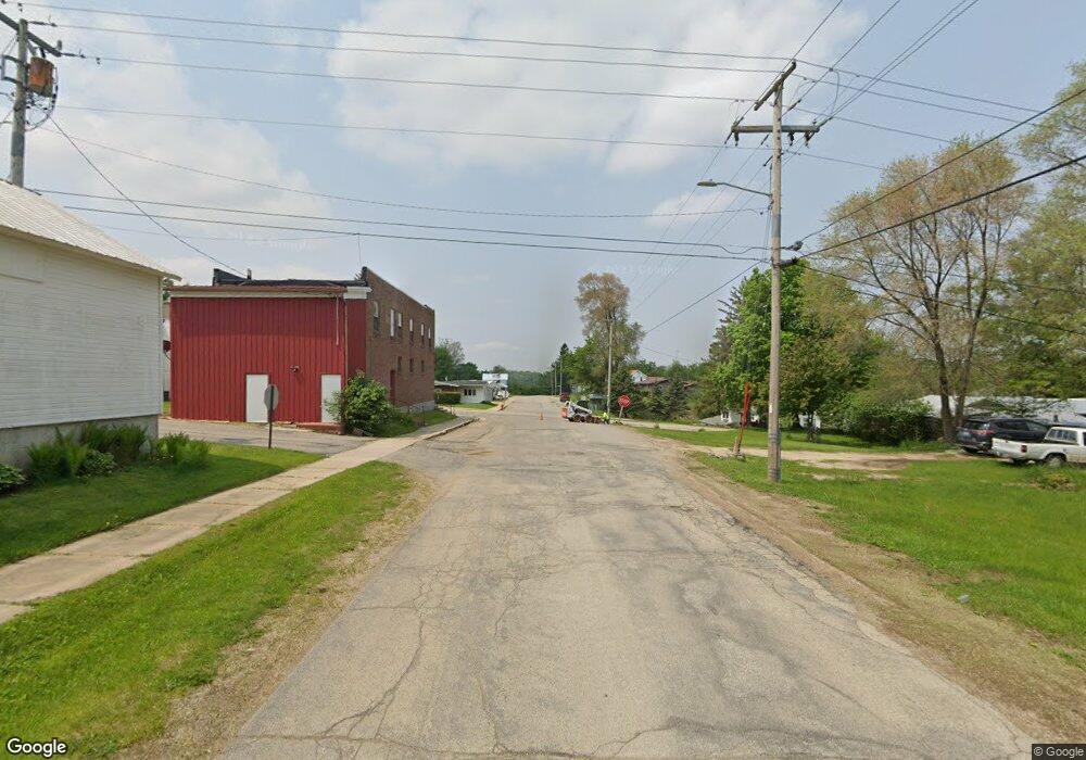
307 E Main St Browntown, WI 53522
Estimated Value: $111,000 - $202,000
--
Bed
--
Bath
--
Sq Ft
5,663
Sq Ft Lot
About This Home
This home is located at 307 E Main St, Browntown, WI 53522 and is currently estimated at $158,957. 307 E Main St is a home.
Ownership History
Date
Name
Owned For
Owner Type
Purchase Details
Closed on
Jun 14, 2012
Sold by
Woodford State Bank
Bought by
Bartskik Lacalyn Lea
Current Estimated Value
Purchase Details
Closed on
Jan 24, 2012
Sold by
Soper Christine D and Soper Christine S
Bought by
Woodford State Bank
Purchase Details
Closed on
Dec 6, 2006
Sold by
Soper David C
Bought by
Soper Christine D
Purchase Details
Closed on
Aug 19, 2005
Sold by
Johnson Darwin K and Johnson Angela R
Bought by
Soper Christine D
Home Financials for this Owner
Home Financials are based on the most recent Mortgage that was taken out on this home.
Original Mortgage
$70,000
Interest Rate
5.69%
Mortgage Type
Future Advance Clause Open End Mortgage
Create a Home Valuation Report for This Property
The Home Valuation Report is an in-depth analysis detailing your home's value as well as a comparison with similar homes in the area
Home Values in the Area
Average Home Value in this Area
Purchase History
| Date | Buyer | Sale Price | Title Company |
|---|---|---|---|
| Bartskik Lacalyn Lea | $40,000 | None Available | |
| Woodford State Bank | -- | None Available | |
| Soper Christine D | -- | None Available | |
| Soper Christine D | $70,000 | None Available |
Source: Public Records
Mortgage History
| Date | Status | Borrower | Loan Amount |
|---|---|---|---|
| Previous Owner | Soper Christine D | $70,000 |
Source: Public Records
Tax History Compared to Growth
Tax History
| Year | Tax Paid | Tax Assessment Tax Assessment Total Assessment is a certain percentage of the fair market value that is determined by local assessors to be the total taxable value of land and additions on the property. | Land | Improvement |
|---|---|---|---|---|
| 2024 | $1,243 | $85,400 | $5,400 | $80,000 |
| 2023 | $1,468 | $85,400 | $5,400 | $80,000 |
| 2022 | $1,525 | $69,400 | $4,000 | $65,400 |
| 2021 | $1,459 | $69,400 | $4,000 | $65,400 |
| 2020 | $1,530 | $69,400 | $4,000 | $65,400 |
| 2019 | $1,225 | $69,400 | $4,000 | $65,400 |
| 2018 | $1,404 | $64,300 | $4,000 | $60,300 |
| 2017 | $1,437 | $64,300 | $4,000 | $60,300 |
| 2016 | $1,422 | $64,300 | $4,000 | $60,300 |
| 2014 | $1,182 | $64,300 | $4,000 | $60,300 |
Source: Public Records
Map
Nearby Homes
- 360 S Church St
- 000 County Highway M
- W8192 Pilz Rd
- W8194 Pilz Rd
- N2090 Allen Rd
- N2202 Cadiz Springs Rd
- TBD Miller Rd
- W8940 County Highway B
- 139.57 AC County Road M
- 000 County Road M
- 7841 W Hwy County M
- TBD E County M
- N2451 Ullom Rd Unit 20
- W7084 County Highway Y
- W6579 Karric Ln
- W6556 Platinum Dr
- 240 Carver St
- W6430 Patterson Rd
- 204 Carver St
- 5855 Swanson Rd
