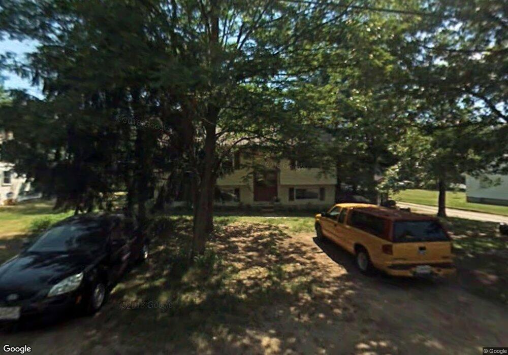
307 Johnson Farm Ln Glen Burnie, MD 21061
Estimated Value: $338,766 - $405,000
--
Bed
2
Baths
1,148
Sq Ft
$337/Sq Ft
Est. Value
About This Home
This home is located at 307 Johnson Farm Ln, Glen Burnie, MD 21061 and is currently estimated at $386,942, approximately $337 per square foot. 307 Johnson Farm Ln is a home located in Anne Arundel County with nearby schools including Richard Henry Lee Elementary School, Corkran Middle School, and Glen Burnie High School.
Ownership History
Date
Name
Owned For
Owner Type
Purchase Details
Closed on
Dec 30, 1985
Bought by
Wilber Alfred D and Rowe-Wilber Martha E
Current Estimated Value
Home Financials for this Owner
Home Financials are based on the most recent Mortgage that was taken out on this home.
Original Mortgage
$76,550
Interest Rate
11.09%
Create a Home Valuation Report for This Property
The Home Valuation Report is an in-depth analysis detailing your home's value as well as a comparison with similar homes in the area
Home Values in the Area
Average Home Value in this Area
Purchase History
| Date | Buyer | Sale Price | Title Company |
|---|---|---|---|
| Wilber Alfred D | $75,800 | -- |
Source: Public Records
Mortgage History
| Date | Status | Borrower | Loan Amount |
|---|---|---|---|
| Closed | Wilber Alfred D | $76,550 |
Source: Public Records
Tax History Compared to Growth
Tax History
| Year | Tax Paid | Tax Assessment Tax Assessment Total Assessment is a certain percentage of the fair market value that is determined by local assessors to be the total taxable value of land and additions on the property. | Land | Improvement |
|---|---|---|---|---|
| 2025 | $3,722 | $310,100 | $143,400 | $166,700 |
| 2024 | $3,722 | $294,000 | $0 | $0 |
| 2023 | $3,508 | $277,900 | $0 | $0 |
| 2022 | $3,166 | $261,800 | $123,400 | $138,400 |
| 2021 | $6,133 | $252,267 | $0 | $0 |
| 2020 | $2,926 | $242,733 | $0 | $0 |
| 2019 | $2,829 | $233,200 | $118,400 | $114,800 |
| 2018 | $2,365 | $233,200 | $118,400 | $114,800 |
| 2017 | $2,759 | $233,200 | $0 | $0 |
| 2016 | -- | $258,600 | $0 | $0 |
| 2015 | -- | $251,433 | $0 | $0 |
| 2014 | -- | $244,267 | $0 | $0 |
Source: Public Records
Map
Nearby Homes
- 418 Rose Ave
- 7685 Quarterfield Rd
- 318 Washington Blvd
- 320 Washington Blvd
- 227 Truck Farm Dr
- 903 Jay Ct
- 267 Truck Farm Dr
- 112 Kindred Way
- 7728 Lexington Ct
- 1324 Ray Ln
- 1475 Braden Loop
- 1423 Braden Loop
- 19 Main Ave SW
- 4 Ridgely Rd
- 118 Heather Stone Way Unit 80
- 612 Carolyn Rd
- 209 Lincoln Ave SW
- 618 Stewart Ave
- 615 Carolyn Rd
- 706 Mayo Rd
- 309 Johnson Farm Ln
- 311 Johnson Farm Ln
- 303 Johnson Farm Ln
- 313 Johnson Farm Ln
- 310 Johnson Farm Ln
- 308 Johnson Farm Ln
- 301 Johnson Farm Ln
- 302 Johnson Farm Ln
- 306 Johnson Farm Ln
- 315A Johnson Farm Ln
- 315 Johnson Farm Ln
- 304 Montfield Lane A
- 300 Johnson Farm Ln
- 302 Montfield Ln
- 304 Montfield Ln
- 314 Johnson Farm Ln
- 306A Montfield Ln
- 306 Montfield Ln
- 317 Johnson Farm Ln
- 310 Montfield Ln