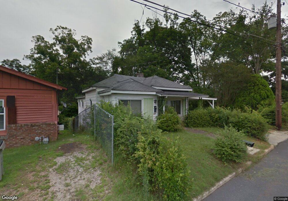
307 Johnson St Lagrange, GA 30241
Estimated Value: $96,000 - $128,000
3
Beds
2
Baths
1,463
Sq Ft
$78/Sq Ft
Est. Value
About This Home
This home is located at 307 Johnson St, Lagrange, GA 30241 and is currently estimated at $113,906, approximately $77 per square foot. 307 Johnson St is a home located in Troup County with nearby schools including Hollis Hand Elementary School, Franklin Forest Elementary School, and Ethel W. Kight Elementary School.
Ownership History
Date
Name
Owned For
Owner Type
Purchase Details
Closed on
Dec 8, 2022
Sold by
Riddle Jeffrey L
Bought by
Wilson Shatiqua
Current Estimated Value
Purchase Details
Closed on
Jun 13, 2019
Sold by
Brabham De Andre L
Bought by
Riddle Jeffrey L
Home Financials for this Owner
Home Financials are based on the most recent Mortgage that was taken out on this home.
Original Mortgage
$34,000
Interest Rate
4%
Mortgage Type
New Conventional
Purchase Details
Closed on
Nov 13, 1959
Sold by
Braham Bertha C and Braham Monnie J
Bought by
Brabham Bertha C
Create a Home Valuation Report for This Property
The Home Valuation Report is an in-depth analysis detailing your home's value as well as a comparison with similar homes in the area
Purchase History
| Date | Buyer | Sale Price | Title Company |
|---|---|---|---|
| Wilson Shatiqua | $100,000 | -- | |
| Riddle Jeffrey L | -- | -- | |
| Brabham Bertha C | -- | -- |
Source: Public Records
Mortgage History
| Date | Status | Borrower | Loan Amount |
|---|---|---|---|
| Previous Owner | Riddle Jeffrey L | $34,000 |
Source: Public Records
Tax History
| Year | Tax Paid | Tax Assessment Tax Assessment Total Assessment is a certain percentage of the fair market value that is determined by local assessors to be the total taxable value of land and additions on the property. | Land | Improvement |
|---|---|---|---|---|
| 2025 | $1,241 | $45,512 | $1,400 | $44,112 |
| 2024 | $1,198 | $43,912 | $1,400 | $42,512 |
| 2023 | $1,091 | $41,272 | $1,400 | $39,872 |
| 2022 | $372 | $13,312 | $1,120 | $12,192 |
| 2021 | $533 | $17,656 | $2,320 | $15,336 |
| 2020 | $533 | $17,656 | $2,320 | $15,336 |
| 2019 | $506 | $16,792 | $2,360 | $14,432 |
| 2018 | $506 | $16,792 | $2,360 | $14,432 |
| 2017 | $506 | $16,792 | $2,360 | $14,432 |
| 2016 | $502 | $16,655 | $2,360 | $14,295 |
| 2015 | $503 | $16,655 | $2,360 | $14,295 |
| 2014 | $421 | $15,903 | $2,360 | $13,543 |
| 2013 | -- | $17,087 | $2,360 | $14,727 |
Source: Public Records
Map
Nearby Homes
- 305 Johnson St
- 303 Johnson St
- 108 Locust St
- 308 Johnson St
- 302 Johnson St
- 313 Johnson St
- 106 Locust St
- 700 E Depot St
- 110 Locust St
- 301 Johnson St
- 112 Locust St
- 704 E Depot St
- 315 Johnson St
- 118 Locust St
- 304 Johnson St
- 312 Johnson St
- 312 Johnson St Unit 7
- 310 Johnson St
- 215 Johnson St
- 800 E Depot St
Your Personal Tour Guide
Ask me questions while you tour the home.