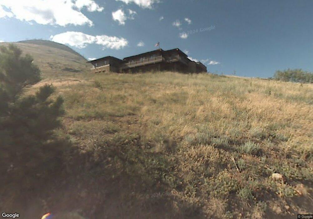
307 Labelle Rd Boulder, CO 80302
Sugarloaf NeighborhoodEstimated Value: $1,581,000 - $2,677,000
3
Beds
4
Baths
3,035
Sq Ft
$687/Sq Ft
Est. Value
About This Home
This home is located at 307 Labelle Rd, Boulder, CO 80302 and is currently estimated at $2,085,326, approximately $687 per square foot. 307 Labelle Rd is a home located in Boulder County with nearby schools including Flatirons Elementary School, Casey Middle School, and Boulder High School.
Ownership History
Date
Name
Owned For
Owner Type
Purchase Details
Closed on
Feb 27, 2009
Sold by
Mayhew Kimberly M and Mayhew Douglas A
Bought by
Us Bank National Association and Wfmbs 2005-14
Current Estimated Value
Purchase Details
Closed on
Nov 30, 1999
Sold by
Sugarloaf Enterprises Inc
Bought by
Mayhew Douglas A
Home Financials for this Owner
Home Financials are based on the most recent Mortgage that was taken out on this home.
Original Mortgage
$112,000
Interest Rate
9.25%
Purchase Details
Closed on
Jun 7, 1990
Bought by
Debra Wasson and Harkness Randall
Create a Home Valuation Report for This Property
The Home Valuation Report is an in-depth analysis detailing your home's value as well as a comparison with similar homes in the area
Home Values in the Area
Average Home Value in this Area
Purchase History
| Date | Buyer | Sale Price | Title Company |
|---|---|---|---|
| Us Bank National Association | -- | None Available | |
| Mayhew Douglas A | $149,000 | Land Title | |
| Debra Wasson | $67,800 | -- |
Source: Public Records
Mortgage History
| Date | Status | Borrower | Loan Amount |
|---|---|---|---|
| Previous Owner | Mayhew Douglas A | $112,000 |
Source: Public Records
Tax History
| Year | Tax Paid | Tax Assessment Tax Assessment Total Assessment is a certain percentage of the fair market value that is determined by local assessors to be the total taxable value of land and additions on the property. | Land | Improvement |
|---|---|---|---|---|
| 2025 | $12,365 | $141,519 | $34,600 | $106,919 |
| 2024 | $12,365 | $141,519 | $34,600 | $106,919 |
| 2023 | $12,144 | $151,648 | $33,266 | $122,067 |
| 2022 | $10,761 | $119,186 | $28,071 | $91,115 |
| 2021 | $10,197 | $122,616 | $28,879 | $93,737 |
| 2020 | $9,000 | $106,972 | $29,244 | $77,728 |
| 2019 | $8,858 | $106,972 | $29,244 | $77,728 |
| 2018 | $7,892 | $95,314 | $18,648 | $76,666 |
| 2017 | $7,660 | $105,374 | $20,616 | $84,758 |
| 2016 | $7,655 | $92,416 | $22,288 | $70,128 |
| 2015 | $7,215 | $71,640 | $23,880 | $47,760 |
| 2014 | $5,864 | $71,640 | $23,880 | $47,760 |
Source: Public Records
Map
Nearby Homes
- 136 Old Post Office Rd
- 274 Boulder View Rd
- 0 Good Friday Rd
- 6055 Fourmile Canyon Dr
- 7893 Fourmile Canyon Dr
- 4324 Fourmile Canyon Dr
- 718 Emerson Gulch Rd
- 300 Shining Star Trail
- 300 Shining Star Trail Unit A
- 00 County Rd 89 Unit 237
- 5566 Sugarloaf Rd
- 201 Wild Tiger Rd
- 6122 Fourmile Canyon Dr
- 6112 Fourmile Canyon Dr
- 280 Rim Rd
- 31 Wild Tiger Ln
- 0 Gold Trail
- 393 Dixon Rd
- 149 Millionaire Dr W
- 155 Millionaire Dr W
- 209 Labelle Rd
- 234 Old Post Office Rd
- 56 Sugarloaf Mountain Rd
- 236 Old Post Office Rd
- 600 Labelle Rd
- 555 Labelle Rd
- 360 Labelle Rd
- 0 Old Post Office Rd
- 223 Old Post Office Rd
- 198 Sugarloaf Mountain Rd
- 350 Labelle Rd
- 122 Old Post Office Rd
- 625 Labelle Rd
- 39 Labelle Rd
- 4580 Sugarloaf Rd
- 124 Old Post Office Rd
- 144 Sugarloaf Mountain Rd
- 54 Sugarloaf Mountain Rd
- 0 Old Townsite Rd
- 4656 Sugarloaf Rd
Your Personal Tour Guide
Ask me questions while you tour the home.