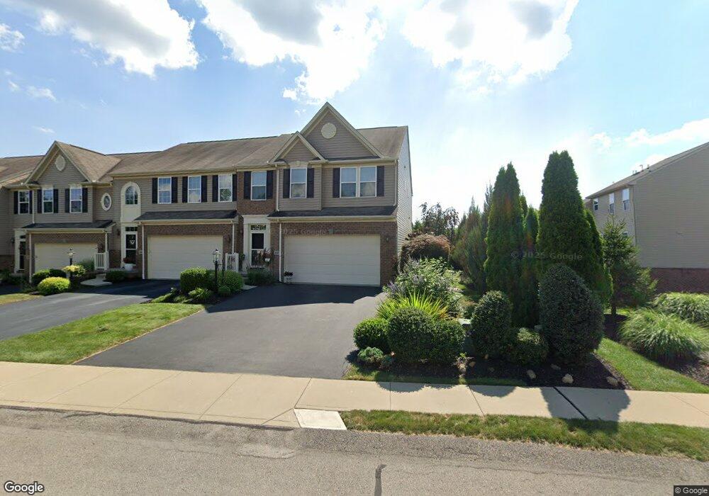
307 Maple Ridge Dr Canonsburg, PA 15317
Estimated Value: $346,949 - $372,000
3
Beds
3
Baths
1,811
Sq Ft
$195/Sq Ft
Est. Value
About This Home
This home is located at 307 Maple Ridge Dr, Canonsburg, PA 15317 and is currently estimated at $353,737, approximately $195 per square foot. 307 Maple Ridge Dr is a home with nearby schools including Canon-Mcmillan Senior High School.
Ownership History
Date
Name
Owned For
Owner Type
Purchase Details
Closed on
Jul 2, 2014
Sold by
Maple Leaf Homes Inc
Bought by
Hamilton Barbara A
Current Estimated Value
Purchase Details
Closed on
Dec 2, 2010
Sold by
Nvr Inc
Bought by
Hamilton Barbara A
Home Financials for this Owner
Home Financials are based on the most recent Mortgage that was taken out on this home.
Original Mortgage
$186,925
Interest Rate
4.4%
Mortgage Type
New Conventional
Purchase Details
Closed on
Aug 30, 2010
Sold by
Maple Leaf Homes Inc
Bought by
Nvr Inc
Create a Home Valuation Report for This Property
The Home Valuation Report is an in-depth analysis detailing your home's value as well as a comparison with similar homes in the area
Home Values in the Area
Average Home Value in this Area
Purchase History
| Date | Buyer | Sale Price | Title Company |
|---|---|---|---|
| Hamilton Barbara A | -- | -- | |
| Hamilton Barbara A | $248,734 | -- | |
| Nvr Inc | $228,300 | -- |
Source: Public Records
Mortgage History
| Date | Status | Borrower | Loan Amount |
|---|---|---|---|
| Previous Owner | Hamilton Barbara A | $186,925 |
Source: Public Records
Tax History Compared to Growth
Tax History
| Year | Tax Paid | Tax Assessment Tax Assessment Total Assessment is a certain percentage of the fair market value that is determined by local assessors to be the total taxable value of land and additions on the property. | Land | Improvement |
|---|---|---|---|---|
| 2025 | $3,951 | $234,600 | $42,300 | $192,300 |
| 2024 | $3,737 | $234,600 | $42,300 | $192,300 |
| 2023 | $3,737 | $234,600 | $42,300 | $192,300 |
| 2022 | $3,726 | $234,600 | $42,300 | $192,300 |
| 2021 | $3,726 | $234,600 | $42,300 | $192,300 |
| 2020 | $3,655 | $234,600 | $42,300 | $192,300 |
| 2019 | $3,597 | $234,600 | $42,300 | $192,300 |
| 2018 | $3,488 | $234,600 | $42,300 | $192,300 |
| 2017 | $598 | $232,200 | $39,900 | $192,300 |
| 2016 | $598 | $23,997 | $1,748 | $22,249 |
| 2015 | $398 | $23,997 | $1,748 | $22,249 |
| 2014 | -- | $23,997 | $1,748 | $22,249 |
| 2013 | -- | $23,997 | $1,748 | $22,249 |
Source: Public Records
Map
Nearby Homes
- 304 Maple Ridge Dr
- 310 Maple Ridge Dr
- 238 Maple Ridge Dr
- 205 Maple Ridge Dr
- 113 Maple Ridge Ct
- 118 Maple Ridge Dr
- 127 Fairway Landings Dr
- 121 Fairway Landings Dr
- 107 Fairway Landings Dr
- 454 Independence Way
- 1521 Eagle Pointe Dr
- 235 Liberty Blvd
- 151 Liberty Blvd
- 1347 Morgan Cir
- The Franklin Plan at Southpointe
- The Betsy Ross Plan at Southpointe
- The Washington Plan at Southpointe
- The Grant Plan at Southpointe
- The Hancock Plan at Southpointe
- 1582 Network Dr
- 305 Maple Ridge Dr
- 303 Maple Ridge Dr
- 403 Maple Ridge Dr
- 301 Maple Ridge Dr
- 405 Maple Ridge Dr
- 405 Maple Ridge Dr Unit 606D
- 299 Maple Ridge Dr
- 299 Maple Ridge Dr Unit 203E
- 299 Mapleridgedrive
- 317 Maple Ridge Dr
- 407 Maple Ridge Dr
- 319 Maple Ridge Dr
- 409 Maple Ridge Dr
- 315 Maple Ridge Dr
- 297 Maple Ridge Dr
- 308 Maple Ridge Dr
- 323 Maple Ridge Dr
- 306 Maple Ridge Dr
- 302 Maple Ridge Dr
- 321 Maple Ridge Dr