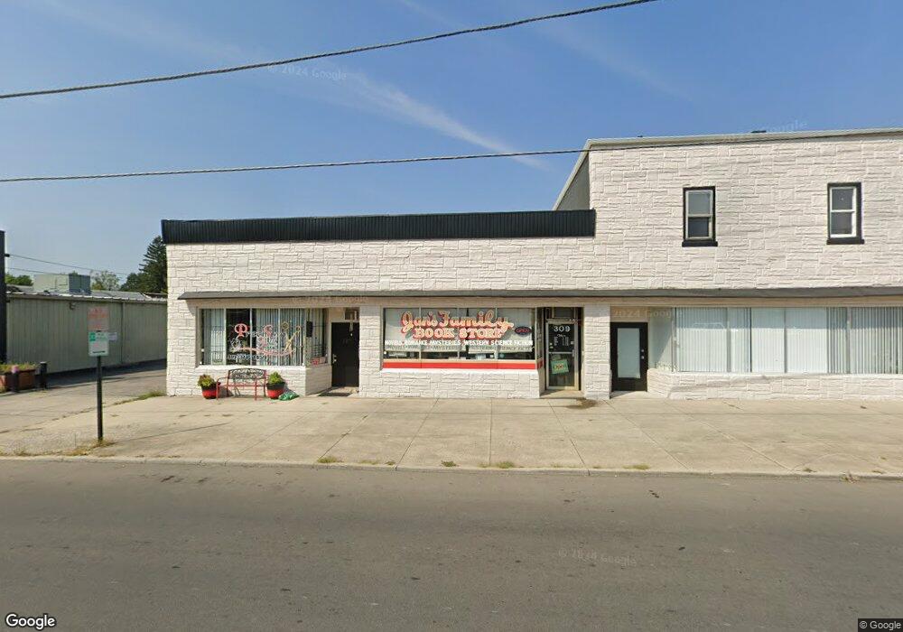
307 N Cole St Lima, OH 45805
Central Lima NeighborhoodEstimated Value: $70,812
--
Bed
--
Bath
7,130
Sq Ft
$10/Sq Ft
Est. Value
About This Home
This home is located at 307 N Cole St, Lima, OH 45805 and is currently estimated at $70,812, approximately $9 per square foot. 307 N Cole St is a home located in Allen County with nearby schools including Heritage Elementary School, Lima West Middle School, and Lima North Middle School.
Ownership History
Date
Name
Owned For
Owner Type
Purchase Details
Closed on
Jun 11, 2021
Sold by
Waltz Shari L and Pence David L
Bought by
Flanagan Robin K and Flanagan Steven A
Current Estimated Value
Home Financials for this Owner
Home Financials are based on the most recent Mortgage that was taken out on this home.
Original Mortgage
$82,500
Outstanding Balance
$68,729
Interest Rate
2.9%
Mortgage Type
Future Advance Clause Open End Mortgage
Estimated Equity
$2,083
Purchase Details
Closed on
Jan 28, 2021
Sold by
Estate Of Marilyn J Kendall
Bought by
Pence Kendall D and Pence David L
Purchase Details
Closed on
Jun 26, 1991
Bought by
Kendall Daniel W
Create a Home Valuation Report for This Property
The Home Valuation Report is an in-depth analysis detailing your home's value as well as a comparison with similar homes in the area
Home Values in the Area
Average Home Value in this Area
Purchase History
| Date | Buyer | Sale Price | Title Company |
|---|---|---|---|
| Flanagan Robin K | $55,000 | None Available | |
| Flanagan Robin K | $55,000 | None Available | |
| Pence Kendall D | -- | None Available | |
| Kendall Daniel W | -- | -- |
Source: Public Records
Mortgage History
| Date | Status | Borrower | Loan Amount |
|---|---|---|---|
| Open | Flanagan Robin K | $82,500 |
Source: Public Records
Tax History Compared to Growth
Tax History
| Year | Tax Paid | Tax Assessment Tax Assessment Total Assessment is a certain percentage of the fair market value that is determined by local assessors to be the total taxable value of land and additions on the property. | Land | Improvement |
|---|---|---|---|---|
| 2024 | $2,817 | $53,200 | $25,480 | $27,720 |
| 2023 | $2,793 | $48,370 | $23,170 | $25,200 |
| 2022 | $2,782 | $48,370 | $23,170 | $25,200 |
| 2021 | $2,917 | $48,580 | $23,380 | $25,200 |
| 2020 | $2,911 | $44,660 | $23,380 | $21,280 |
| 2019 | $2,911 | $44,660 | $23,380 | $21,280 |
| 2018 | $2,878 | $44,660 | $23,380 | $21,280 |
| 2017 | $2,856 | $44,660 | $23,380 | $21,280 |
| 2016 | $2,850 | $43,960 | $23,380 | $20,580 |
| 2015 | $3,361 | $43,960 | $23,380 | $20,580 |
| 2014 | $3,361 | $53,240 | $23,380 | $29,860 |
| 2013 | $3,258 | $53,240 | $23,380 | $29,860 |
Source: Public Records
Map
Nearby Homes
- 1036 W High St
- 1120 Richie Ave
- 1206 Rice Ave
- 1517 Allentown Rd
- 120 S Woodlawn Ave
- 233 S Kenilworth Ave
- 1023 Leland Ave
- 1459 W Market St
- 618 Woodward Ave
- 621 Fairfield Dr
- 1703 W Wayne St
- 343 S Charles St
- 427 S Kenilworth Ave
- 1630 W Market St
- 109 N Pears Ave
- 745 Brice Ave
- 631 Hazel Ave
- 648 Hazel Ave
- 1524 Wendell Ave
- 638 Hazel Ave
- 307 N Cole St
- 000 St Rt 309 & Cole N
- 311 N Cole St
- 305 N Cole St
- 0 Allentown Rd East Lot
- 00 Allentown Rd West Lot
- 1209 Allentown Rd
- 1207 Oakland Pkwy
- 1228 Oakland Pkwy
- 1174 W North St
- 1172 N St W 11741176
- 232 N Cole St
- 1179 W Wayne St
- 320 N Kenilworth Ave
- 1163 W North St
- 229 N Cole St
- 229 N Cole St
- 1171 W Wayne St