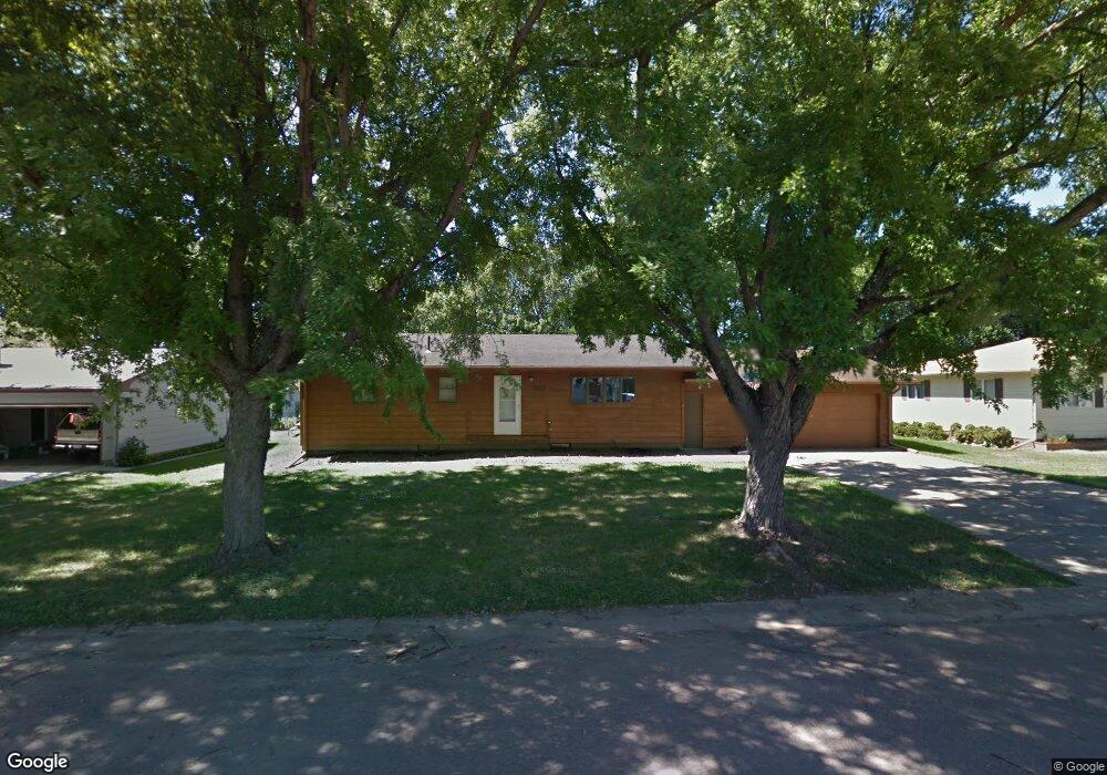
307 N Maple St Viborg, SD 57070
Estimated Value: $267,000 - $305,000
3
Beds
3
Baths
1,856
Sq Ft
$154/Sq Ft
Est. Value
About This Home
This home is located at 307 N Maple St, Viborg, SD 57070 and is currently estimated at $286,082, approximately $154 per square foot. 307 N Maple St is a home located in Turner County with nearby schools including Viborg-Hurley Elementary School, Cameron Colony Elementary School, and Viborg-Hurley Middle School.
Ownership History
Date
Name
Owned For
Owner Type
Purchase Details
Closed on
Jul 8, 2014
Sold by
Lyngstad Robert and Lyngstad Robert W
Bought by
Lyngstad Robert and Lyngstad Marilyn
Current Estimated Value
Create a Home Valuation Report for This Property
The Home Valuation Report is an in-depth analysis detailing your home's value as well as a comparison with similar homes in the area
Purchase History
| Date | Buyer | Sale Price | Title Company |
|---|---|---|---|
| Lyngstad Robert | -- | -- |
Source: Public Records
Tax History
| Year | Tax Paid | Tax Assessment Tax Assessment Total Assessment is a certain percentage of the fair market value that is determined by local assessors to be the total taxable value of land and additions on the property. | Land | Improvement |
|---|---|---|---|---|
| 2025 | $4,653 | $257,099 | $13,094 | $244,005 |
| 2024 | $4,587 | $257,099 | $13,094 | $244,005 |
| 2023 | $4,088 | $257,099 | $13,094 | $244,005 |
| 2022 | $3,341 | $225,525 | $11,486 | $214,039 |
| 2021 | $3,338 | $173,480 | $8,835 | $164,645 |
| 2020 | $3,210 | $173,480 | $8,835 | $164,645 |
| 2019 | $3,148 | $159,155 | $8,105 | $151,050 |
| 2018 | $2,733 | $154,520 | $7,870 | $146,650 |
| 2017 | $2,501 | $126,000 | $4,700 | $121,300 |
| 2016 | $2,328 | $109,565 | $4,085 | $105,480 |
| 2015 | $2,328 | $91,305 | $3,405 | $87,900 |
| 2012 | -- | $130,270 | $4,725 | $125,545 |
Source: Public Records
Map
Nearby Homes
- 202 N Kemper St
- 0 Lot 10 Block 2 Valhalla Dr Dr
- 0 Lot 10 Block 4 Viking Ave Ave Unit 22600393
- 0 Lot 1a Block 3 Viking Ave Ave Unit 22600396
- 306 N Main St
- 0 N Elmwood St Unit 22507122
- 105 N Nora St
- 208 S Clark St
- 210 S Clark
- 210 Clark St
- 0 Tbd Industrial Tr 19 St St Unit 22601215
- 0 Tbd Dakota Tr 7 Ave Ave Unit 22601212
- 0 Tbd Dakota Tr 8 Ave Ave Unit 22601214
- 0 Tbd Jorgensen Tr 11 St St Unit 22601210
- 0 Tbd Jorgensen Tr 13 St St Unit 22601207
- 0 290th St Unit 22201045
- 0 455th Ave
- 101 Lakeview Dr
- 100 Bright Shores Dr Dr
- 452nd Avenue
- 305 N Maple St
- 309 N Maple St
- 308 N Maple St
- 303 N Maple St
- 311 N Maple St
- 306 N Maple St
- 212 N Kemper St
- 304 N Maple St
- 301 N Maple St
- 313 N Maple St
- 314 N Maple St
- 200 N Kemper St
- 302 N Maple St
- 209 N Kemper St
- 211 Kemper St
- 211 N Kemper St
- 213 N Kemper St
- 302 N Washington St
- 300 N Maple St
- 0 Kemper St
Your Personal Tour Guide
Ask me questions while you tour the home.