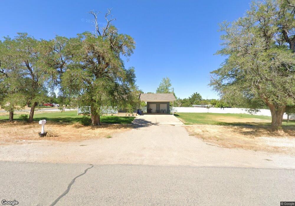
307 N N 100 West St W Fillmore, UT 84631
Estimated Value: $329,000 - $355,000
--
Bed
--
Bath
--
Sq Ft
1.41
Acres
About This Home
This home is located at 307 N N 100 West St W, Fillmore, UT 84631 and is currently estimated at $342,000. 307 N N 100 West St W is a home.
Ownership History
Date
Name
Owned For
Owner Type
Purchase Details
Closed on
Nov 8, 2011
Sold by
Stevens Kirk and Stevens Kristina R
Bought by
Stevens Franklin Kirk and Stevens Kristina R
Current Estimated Value
Home Financials for this Owner
Home Financials are based on the most recent Mortgage that was taken out on this home.
Original Mortgage
$105,500
Outstanding Balance
$71,656
Interest Rate
4.09%
Mortgage Type
Purchase Money Mortgage
Estimated Equity
$270,344
Create a Home Valuation Report for This Property
The Home Valuation Report is an in-depth analysis detailing your home's value as well as a comparison with similar homes in the area
Home Values in the Area
Average Home Value in this Area
Purchase History
| Date | Buyer | Sale Price | Title Company |
|---|---|---|---|
| Stevens Franklin Kirk | -- | -- |
Source: Public Records
Mortgage History
| Date | Status | Borrower | Loan Amount |
|---|---|---|---|
| Open | Stevens Franklin Kirk | $105,500 |
Source: Public Records
Tax History Compared to Growth
Tax History
| Year | Tax Paid | Tax Assessment Tax Assessment Total Assessment is a certain percentage of the fair market value that is determined by local assessors to be the total taxable value of land and additions on the property. | Land | Improvement |
|---|---|---|---|---|
| 2025 | $1,552 | $199,827 | $33,500 | $166,327 |
| 2024 | $1,552 | $182,162 | $23,002 | $159,160 |
| 2023 | $1,932 | $182,162 | $23,002 | $159,160 |
| 2022 | $1,532 | $141,770 | $19,167 | $122,603 |
| 2021 | $1,207 | $106,751 | $15,974 | $90,777 |
| 2020 | $1,022 | $90,779 | $13,890 | $76,889 |
| 2019 | $1,001 | $89,516 | $12,627 | $76,889 |
| 2018 | $915 | $83,466 | $10,980 | $72,486 |
| 2017 | $904 | $78,724 | $10,980 | $67,744 |
| 2016 | $714 | $64,638 | $11,000 | $53,638 |
| 2015 | $714 | $64,638 | $11,000 | $53,638 |
| 2014 | -- | $64,638 | $11,000 | $53,638 |
| 2013 | -- | $64,638 | $11,000 | $53,638 |
Source: Public Records
Map
Nearby Homes
- 290 N 200 Rd E
- 700 W 1100 S
- 8300 N 3300 E
- 3700 W 5800 N
- 205 N 100 E
- 600 E 1200 St N
- 2155 N Cedar Mountain Rd
- 2835 N Cedar Mountain Rd
- 390 N 100 W
- 380 N 200 St W
- 335 W 400 North St
- 295 N 100 West St
- 410 W 400 N
- 400 W 2600 North St
- 165 N 100 W
- 225 W 200 St N
- 75 N 100 West St
- 40 S 100 Rd E
- 120 S 100 East Rd
- 430 E Canyon Rd