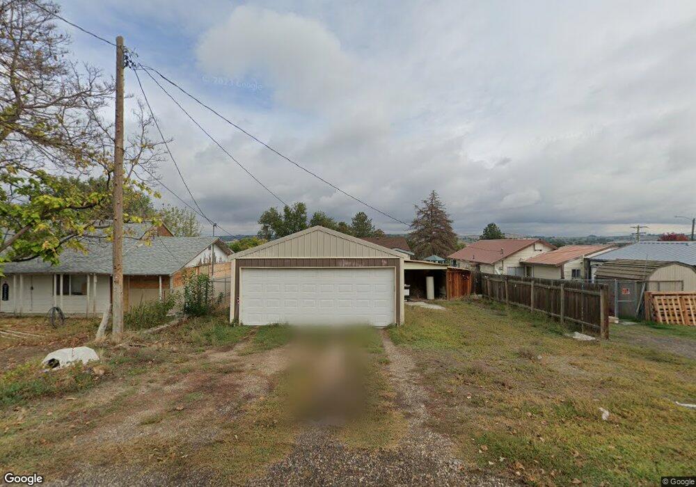
307 Patton St Marsing, ID 83639
Estimated Value: $191,212 - $247,000
1
Bed
1
Bath
775
Sq Ft
$277/Sq Ft
Est. Value
About This Home
This home is located at 307 Patton St, Marsing, ID 83639 and is currently estimated at $214,303, approximately $276 per square foot. 307 Patton St is a home located in Owyhee County with nearby schools including Marsing Elementary School, Marsing Middle School, and Marsing High School.
Ownership History
Date
Name
Owned For
Owner Type
Purchase Details
Closed on
May 22, 2025
Sold by
Owyhee County
Bought by
Muller Amanda and Muller Robert
Current Estimated Value
Purchase Details
Closed on
Nov 14, 2024
Sold by
Stokes Carol A and State Of Idaho Department Of Health And
Bought by
Muller Amanda and Muller Robert
Purchase Details
Closed on
Aug 17, 2023
Sold by
Stokes Carol A
Bought by
Stokes Carol A
Home Financials for this Owner
Home Financials are based on the most recent Mortgage that was taken out on this home.
Original Mortgage
$20,000
Interest Rate
6.81%
Mortgage Type
Credit Line Revolving
Create a Home Valuation Report for This Property
The Home Valuation Report is an in-depth analysis detailing your home's value as well as a comparison with similar homes in the area
Purchase History
| Date | Buyer | Sale Price | Title Company |
|---|---|---|---|
| Muller Amanda | $32,000 | None Listed On Document | |
| Muller Amanda | $32,000 | -- | |
| Stokes Carol A | -- | None Listed On Document |
Source: Public Records
Mortgage History
| Date | Status | Borrower | Loan Amount |
|---|---|---|---|
| Previous Owner | Stokes Carol A | $20,000 |
Source: Public Records
Tax History
| Year | Tax Paid | Tax Assessment Tax Assessment Total Assessment is a certain percentage of the fair market value that is determined by local assessors to be the total taxable value of land and additions on the property. | Land | Improvement |
|---|---|---|---|---|
| 2025 | $1,263 | $139,222 | $53,822 | $85,400 |
| 2024 | $1,263 | $139,222 | $53,822 | $85,400 |
| 2023 | -- | $129,492 | $53,822 | $75,670 |
| 2022 | $32 | $99,572 | $53,822 | $45,750 |
| 2021 | $32 | $74,241 | $45,531 | $28,710 |
| 2020 | $31 | $49,252 | $33,782 | $15,470 |
| 2019 | $30 | $46,842 | $33,782 | $13,060 |
| 2018 | $346 | $41,032 | $28,152 | $12,880 |
| 2017 | $28 | $41,032 | $28,152 | $12,880 |
| 2016 | $25 | $35,087 | $23,085 | $12,002 |
| 2014 | $193 | $28,192 | $18,299 | $9,893 |
| 2011 | -- | $19,164 | $10,200 | $8,964 |
Source: Public Records
Map
Nearby Homes
- TBD Canal St
- 912 W Main St
- 20056 Sunny Slope Rd
- 6617 Red Rock Rd
- TBD N Bruneau Rd
- 8065 Moonshine Ln
- 101 Twilight Trail
- 19151 Symms Rd
- TBD Lot 5 Cabernet Ln
- TBD Cabernet Ln - Lot 5 Parcel A
- TBD Riverside Rd
- 5054 Heritage Dr
- 8142 Us Highway 95
- 1406 Oak River Ln
- 10430 Randall Ln
- TBD Oak River Ln
- 11267 W Rio Rd
- 518 Bass Run Ln
- 547 Bass Run Ln
- TBD Whetstone Ln - Parcel 9
Your Personal Tour Guide
Ask me questions while you tour the home.