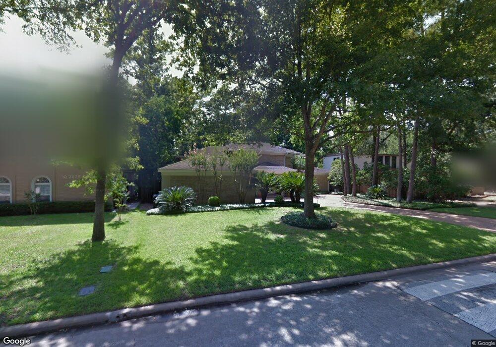
307 Tealwood Dr Houston, TX 77024
Memorial NeighborhoodEstimated Value: $1,159,000 - $1,370,000
4
Beds
5
Baths
3,312
Sq Ft
$383/Sq Ft
Est. Value
About This Home
This home is located at 307 Tealwood Dr, Houston, TX 77024 and is currently estimated at $1,269,855, approximately $383 per square foot. 307 Tealwood Dr is a home located in Harris County with nearby schools including Frostwood Elementary School, Memorial Middle, and Memorial High School.
Ownership History
Date
Name
Owned For
Owner Type
Purchase Details
Closed on
Aug 15, 1994
Sold by
Rapp Craig S and Levin Sherri L
Bought by
Miro Ramon E and Miro Evelyn L
Current Estimated Value
Home Financials for this Owner
Home Financials are based on the most recent Mortgage that was taken out on this home.
Original Mortgage
$225,000
Interest Rate
8.51%
Create a Home Valuation Report for This Property
The Home Valuation Report is an in-depth analysis detailing your home's value as well as a comparison with similar homes in the area
Home Values in the Area
Average Home Value in this Area
Purchase History
| Date | Buyer | Sale Price | Title Company |
|---|---|---|---|
| Miro Ramon E | -- | Texas State Title |
Source: Public Records
Mortgage History
| Date | Status | Borrower | Loan Amount |
|---|---|---|---|
| Closed | Miro Ramon E | $225,000 |
Source: Public Records
Tax History Compared to Growth
Tax History
| Year | Tax Paid | Tax Assessment Tax Assessment Total Assessment is a certain percentage of the fair market value that is determined by local assessors to be the total taxable value of land and additions on the property. | Land | Improvement |
|---|---|---|---|---|
| 2025 | $8,429 | $1,103,357 | $626,600 | $476,757 |
| 2024 | $8,429 | $1,098,950 | $530,200 | $568,750 |
| 2023 | $8,429 | $1,104,006 | $530,200 | $573,806 |
| 2022 | $20,368 | $879,345 | $530,200 | $349,145 |
| 2021 | $19,336 | $792,000 | $530,200 | $261,800 |
| 2020 | $19,080 | $761,500 | $530,200 | $231,300 |
| 2019 | $21,467 | $820,000 | $530,200 | $289,800 |
| 2018 | $5,873 | $800,000 | $530,200 | $269,800 |
| 2017 | $20,929 | $800,000 | $530,200 | $269,800 |
| 2016 | $20,718 | $855,728 | $530,200 | $325,528 |
| 2015 | $10,511 | $882,500 | $530,200 | $352,300 |
| 2014 | $10,511 | $906,922 | $337,400 | $569,522 |
Source: Public Records
Map
Nearby Homes
- 201 Vanderpool Ln Unit 103
- 201 Vanderpool Ln Unit 65
- 201 Vanderpool Ln Unit 64
- 12327 Tunbridge Ln
- 241 Litchfield Ln
- 271 Litchfield Ln
- 259 Litchfield Ln Unit 66
- 318 Litchfield Ln
- 201 Litchfield Ln
- 336 Litchfield Ln
- 53 Litchfield Ln
- 354 Tealwood Dr
- 358 Tealwood Dr
- 246 Litchfield Ln
- 161 Litchfield Ln
- 238 Litchfield Ln
- 171 Litchfield Ln
- 115 Litchfield Ln
- 168 Litchfield Ln
- 152 Litchfield Ln
- 303 Tealwood Dr
- 315 Tealwood Dr
- 301 Tealwood Dr
- 319 Tealwood Dr
- 310 Tealwood Dr
- 302 Tealwood Dr
- 122 Paul Revere Dr
- 314 Tealwood Dr
- 126 Paul Revere Dr
- 318 Tealwood Dr
- 118 Paul Revere Dr
- 307 Vanderpool Ln
- 327 Tealwood Dr
- 303 Vanderpool Ln
- 322 Tealwood Dr
- 311 Vanderpool Ln
- 315 Vanderpool Ln
- 326 Tealwood Dr
- 114 Paul Revere Dr
- 331 Tealwood Dr