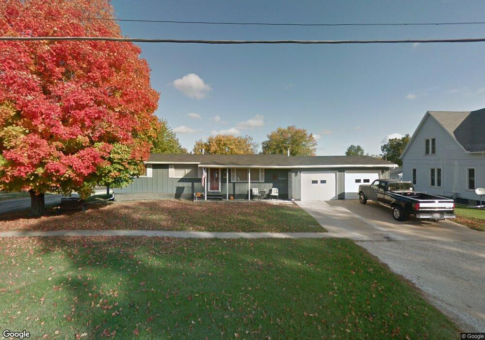
307 W Monmouth St Abingdon, IL 61410
Estimated Value: $63,000 - $123,000
--
Bed
--
Bath
1,056
Sq Ft
$96/Sq Ft
Est. Value
About This Home
This home is located at 307 W Monmouth St, Abingdon, IL 61410 and is currently estimated at $101,602, approximately $96 per square foot. 307 W Monmouth St is a home located in Knox County with nearby schools including Hedding Grade School, Avon Elementary School, and Abingdon-Avon Middle School.
Ownership History
Date
Name
Owned For
Owner Type
Purchase Details
Closed on
Jan 30, 2007
Sold by
Cudd Jamie R and Cudd Jennifer L
Bought by
Miller Lynette D
Current Estimated Value
Home Financials for this Owner
Home Financials are based on the most recent Mortgage that was taken out on this home.
Original Mortgage
$66,400
Outstanding Balance
$39,771
Interest Rate
6.16%
Mortgage Type
New Conventional
Estimated Equity
$61,831
Create a Home Valuation Report for This Property
The Home Valuation Report is an in-depth analysis detailing your home's value as well as a comparison with similar homes in the area
Home Values in the Area
Average Home Value in this Area
Purchase History
| Date | Buyer | Sale Price | Title Company |
|---|---|---|---|
| Miller Lynette D | $83,000 | First American Title |
Source: Public Records
Mortgage History
| Date | Status | Borrower | Loan Amount |
|---|---|---|---|
| Open | Miller Lynette D | $66,400 |
Source: Public Records
Tax History Compared to Growth
Tax History
| Year | Tax Paid | Tax Assessment Tax Assessment Total Assessment is a certain percentage of the fair market value that is determined by local assessors to be the total taxable value of land and additions on the property. | Land | Improvement |
|---|---|---|---|---|
| 2024 | $2,306 | $34,290 | $2,800 | $31,490 |
| 2023 | $2,306 | $30,950 | $2,530 | $28,420 |
| 2022 | $2,597 | $35,530 | $2,400 | $33,130 |
| 2021 | $2,528 | $34,170 | $2,310 | $31,860 |
| 2020 | $2,421 | $32,850 | $2,220 | $30,630 |
| 2019 | $2,485 | $32,530 | $2,200 | $30,330 |
| 2018 | $2,401 | $31,590 | $2,140 | $29,450 |
| 2017 | $2,368 | $30,970 | $2,100 | $28,870 |
| 2015 | -- | $30,360 | $2,060 | $28,300 |
| 2013 | $2,291 | $30,060 | $2,040 | $28,020 |
Source: Public Records
Map
Nearby Homes
- 500 N Monroe St
- 405 W Memorial Dr
- 103 N Swarts St
- 108 W Jackson St
- 704 N Cherry St
- 407 W Martin St
- 106 E Jackson St
- 204 E Adams St
- 204 S Washington St
- 306 N Harshbarger St
- 214 S Main St
- 205 N Austin Ave
- 206 W Lower St
- 211 S Froelich Ln
- 403 1/2 E Jared St
- 103 W Givens St
- 369 Knox Highway 23
- 1196 160th St
- 1077 Knox Road 500 E
- 572 Knox Highway 26
- 305 W Monmouth St
- 505 N Swarts Ave
- 507 N Swarts Ave
- 500 N Swarts Ave
- 502 N Swarts Ave
- 504 N Monroe St
- 504 N Swarts Ave
- 506 N Monroe St
- 301 W Monmouth St
- 524 N Monroe St
- 406 W Adams St
- 305 W Adams St
- 501 N Pennsylvania St
- 503 N Pennsylvania St
- 309 W Adams St
- 600 N Monroe St
- 403 W Adams St
- 408 W Adams St
- 405 W Adams St
- 602 N Monroe St