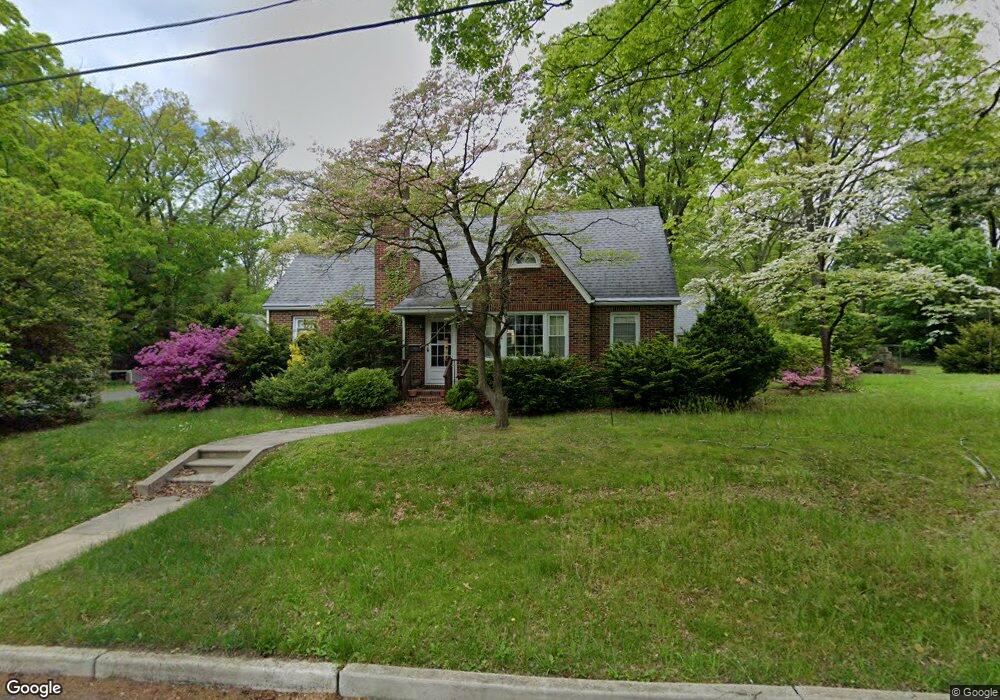
307 W Poplar St Wenonah, NJ 08090
Estimated Value: $323,341 - $426,000
--
Bed
--
Bath
1,737
Sq Ft
$224/Sq Ft
Est. Value
About This Home
This home is located at 307 W Poplar St, Wenonah, NJ 08090 and is currently estimated at $389,585, approximately $224 per square foot. 307 W Poplar St is a home located in Gloucester County with nearby schools including Wenonah Elementary School and Gateway Regional High School.
Ownership History
Date
Name
Owned For
Owner Type
Purchase Details
Closed on
Dec 19, 2022
Sold by
Lowe Robert L
Bought by
Lowe Robert L and Peters Christopher
Current Estimated Value
Purchase Details
Closed on
Sep 9, 2012
Sold by
Lowe Sarah A
Bought by
Lowe Robert L
Purchase Details
Closed on
May 23, 2012
Sold by
Lowe Sarah A
Bought by
Lowe Louis F and Lowe Sarah A
Purchase Details
Closed on
Jul 9, 2002
Sold by
Lowe Louis F and Lowe Sarah A
Bought by
Lowe Sarah A
Create a Home Valuation Report for This Property
The Home Valuation Report is an in-depth analysis detailing your home's value as well as a comparison with similar homes in the area
Home Values in the Area
Average Home Value in this Area
Purchase History
| Date | Buyer | Sale Price | Title Company |
|---|---|---|---|
| Lowe Robert L | -- | None Listed On Document | |
| Lowe Robert L | -- | None Listed On Document | |
| Lowe Robert L | -- | None Available | |
| Lowe Robert L | -- | None Available | |
| Lowe Louis F | -- | None Available | |
| Lowe Sarah A | -- | -- |
Source: Public Records
Tax History Compared to Growth
Tax History
| Year | Tax Paid | Tax Assessment Tax Assessment Total Assessment is a certain percentage of the fair market value that is determined by local assessors to be the total taxable value of land and additions on the property. | Land | Improvement |
|---|---|---|---|---|
| 2025 | $9,606 | $216,600 | $88,400 | $128,200 |
| 2024 | $9,138 | $216,600 | $88,400 | $128,200 |
| 2023 | $9,138 | $216,600 | $88,400 | $128,200 |
| 2022 | $9,073 | $216,600 | $88,400 | $128,200 |
| 2021 | $9,160 | $216,600 | $88,400 | $128,200 |
| 2020 | $9,125 | $216,600 | $88,400 | $128,200 |
| 2019 | $8,978 | $216,600 | $88,400 | $128,200 |
| 2018 | $8,824 | $216,600 | $88,400 | $128,200 |
| 2017 | $8,824 | $216,600 | $88,400 | $128,200 |
| 2016 | $8,636 | $216,600 | $88,400 | $128,200 |
| 2015 | $8,452 | $216,600 | $88,400 | $128,200 |
| 2014 | $8,130 | $242,700 | $105,000 | $137,700 |
Source: Public Records
Map
Nearby Homes
- 8 W Buttonwood St
- 1 W Buttonwood St
- 3 E Mantua Ave
- 707 Howard Ave
- 108 S Clinton Ave
- 315 Ogden Station Rd
- 513 N East Ave
- 114 Buddy Powell Ln
- 916 Georgetown Rd
- 112 Norris St
- 125 Ivy Ln
- 579 Lehigh Rd
- 261 Wenonah Way
- 199 Ogden Station Rd
- 0 Glassboro Rd
- 111 Cove Rd
- 122 Turner St
- 1 4th Ave
- 100 Fernshire Ct
- 100 Fairmount St
- 103 N Jackson Ave
- 11 N Jackson Ave
- 100 N Lincoln Ave
- 105 N Jackson Ave
- 102 N Lincoln Ave
- 401 W Poplar St
- 12 N Lincoln Ave
- 104 N Lincoln Ave
- 9 N Jackson Ave
- 400 W Poplar St
- 104 N Jackson Ave
- 10 N Lincoln Ave
- 106 N Lincoln Ave
- 7 N Jackson Ave
- 10 N Jackson Ave
- 106 N Jackson Ave
- 405 W Poplar St
- 8 N Lincoln Ave
- 108 N Lincoln Ave
- 8 N Jackson Ave