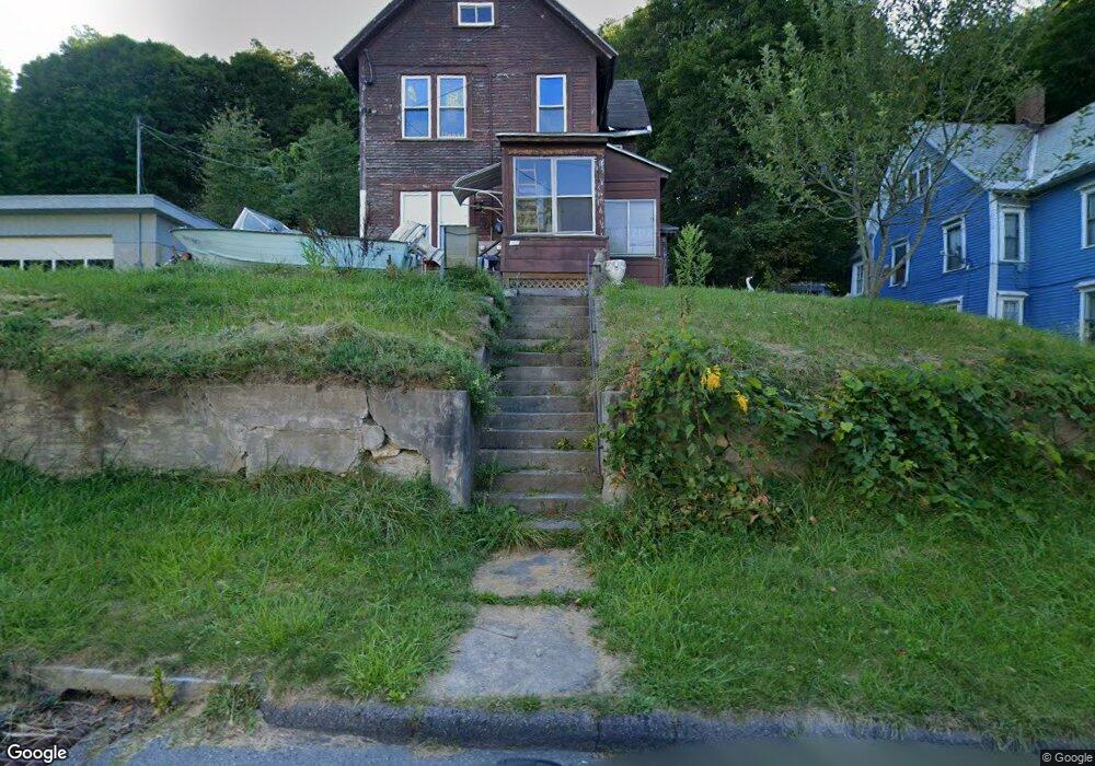
307 Walnut St North Adams, MA 01247
Estimated Value: $132,000 - $223,188
5
Beds
2
Baths
1,986
Sq Ft
$94/Sq Ft
Est. Value
About This Home
This home is located at 307 Walnut St, North Adams, MA 01247 and is currently estimated at $186,797, approximately $94 per square foot. 307 Walnut St is a home located in Berkshire County with nearby schools including Brayton Elementary School and Drury High School.
Ownership History
Date
Name
Owned For
Owner Type
Purchase Details
Closed on
Jun 2, 2006
Sold by
Azar Elizabeth Ann and Mastroianni Donato A
Bought by
Bouley Brent M
Current Estimated Value
Home Financials for this Owner
Home Financials are based on the most recent Mortgage that was taken out on this home.
Original Mortgage
$107,000
Outstanding Balance
$62,837
Interest Rate
6.55%
Mortgage Type
Purchase Money Mortgage
Estimated Equity
$123,960
Create a Home Valuation Report for This Property
The Home Valuation Report is an in-depth analysis detailing your home's value as well as a comparison with similar homes in the area
Home Values in the Area
Average Home Value in this Area
Purchase History
| Date | Buyer | Sale Price | Title Company |
|---|---|---|---|
| Bouley Brent M | $58,000 | -- | |
| Bouley Brent M | $58,000 | -- | |
| Bouley Brent M | $58,000 | -- |
Source: Public Records
Mortgage History
| Date | Status | Borrower | Loan Amount |
|---|---|---|---|
| Open | Bouley Brent M | $107,000 | |
| Closed | Bouley Brent M | $107,000 |
Source: Public Records
Tax History Compared to Growth
Tax History
| Year | Tax Paid | Tax Assessment Tax Assessment Total Assessment is a certain percentage of the fair market value that is determined by local assessors to be the total taxable value of land and additions on the property. | Land | Improvement |
|---|---|---|---|---|
| 2025 | $3,063 | $183,300 | $36,600 | $146,700 |
| 2024 | $2,876 | $167,800 | $33,500 | $134,300 |
| 2023 | $2,635 | $149,100 | $33,500 | $115,600 |
| 2022 | $2,557 | $138,000 | $33,500 | $104,500 |
| 2021 | $2,378 | $127,800 | $31,000 | $96,800 |
| 2020 | $2,259 | $121,300 | $29,600 | $91,700 |
| 2019 | $2,276 | $119,100 | $30,200 | $88,900 |
| 2018 | $2,253 | $122,600 | $32,400 | $90,200 |
| 2017 | $2,143 | $121,300 | $32,100 | $89,200 |
| 2016 | $2,118 | $121,800 | $32,100 | $89,700 |
| 2015 | $2,051 | $122,900 | $33,200 | $89,700 |
Source: Public Records
Map
Nearby Homes
- 336 Walnut St
- 297 Walnut St
- 33 Gattuso Dr
- 85 Furnace St
- 11-15 Perry St
- 74 Washington Ave
- 16 Forrest St
- 388 Ashland St Unit 1
- 0 Church St
- 0 Ashland St Unit 245228
- 86 W Main St
- 209 Corinth St
- 194 E Main St
- 31 Dover St
- 19 N Church St Unit 11
- 19 N Church St Unit 14
- 19 N Church St Unit 12
- 19 N Church St Unit 7
- 30 Dover St
- 26 Charles St
- 319 Walnut St Unit 321
- 325 Walnut St
- 297 Walnut St Unit 1
- 297 Walnut St Unit 2
- 312 Walnut St
- 333 Walnut St Unit 335
- 337 Walnut St
- 286 Walnut St
- 281 Walnut St
- 345 Walnut St
- 278 Walnut St
- 279 State St
- 353 Walnut St
- 274 Walnut St Unit 276
- 253 State St
- 357 Walnut St
- 270 Walnut St
- 0 State St
- 303 State St
- 243 State St Unit 245R