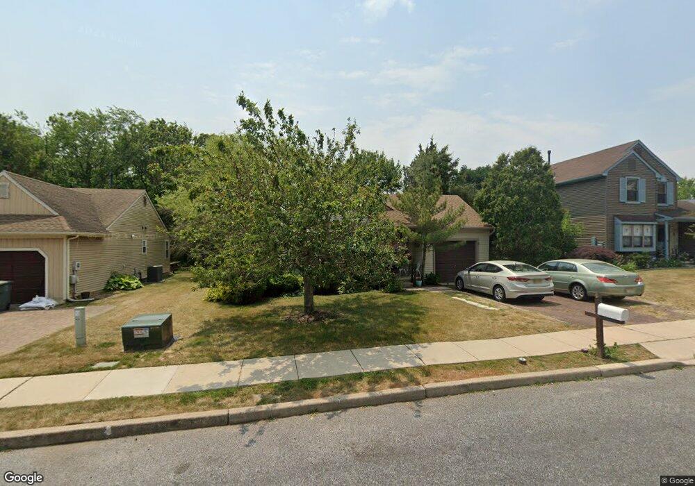
307 Whethersfield Dr Glassboro, NJ 08028
Estimated Value: $230,252 - $314,000
--
Bed
--
Bath
1,060
Sq Ft
$259/Sq Ft
Est. Value
About This Home
This home is located at 307 Whethersfield Dr, Glassboro, NJ 08028 and is currently estimated at $274,563, approximately $259 per square foot. 307 Whethersfield Dr is a home located in Gloucester County with nearby schools including J Harvey Rodgers School, Dorothy L Bullock Elementary, and Glassboro Intermediate School.
Ownership History
Date
Name
Owned For
Owner Type
Purchase Details
Closed on
Aug 15, 1997
Sold by
Cole Daniel P
Bought by
Depersia Julia A
Current Estimated Value
Home Financials for this Owner
Home Financials are based on the most recent Mortgage that was taken out on this home.
Original Mortgage
$53,000
Outstanding Balance
$7,860
Interest Rate
7.42%
Estimated Equity
$266,703
Purchase Details
Closed on
Nov 6, 1996
Sold by
Cole Daniel P and Cole Carol A
Bought by
Cole Daniel P
Create a Home Valuation Report for This Property
The Home Valuation Report is an in-depth analysis detailing your home's value as well as a comparison with similar homes in the area
Home Values in the Area
Average Home Value in this Area
Purchase History
| Date | Buyer | Sale Price | Title Company |
|---|---|---|---|
| Depersia Julia A | $83,000 | Lawrence Abstract Company | |
| Cole Daniel P | -- | -- |
Source: Public Records
Mortgage History
| Date | Status | Borrower | Loan Amount |
|---|---|---|---|
| Open | Depersia Julia A | $53,000 |
Source: Public Records
Tax History Compared to Growth
Tax History
| Year | Tax Paid | Tax Assessment Tax Assessment Total Assessment is a certain percentage of the fair market value that is determined by local assessors to be the total taxable value of land and additions on the property. | Land | Improvement |
|---|---|---|---|---|
| 2025 | $5,959 | $169,300 | $64,500 | $104,800 |
| 2024 | $5,924 | $169,300 | $64,500 | $104,800 |
| 2023 | $5,924 | $169,300 | $64,500 | $104,800 |
| 2022 | $5,865 | $169,300 | $64,500 | $104,800 |
| 2021 | $5,313 | $169,300 | $64,500 | $104,800 |
| 2020 | $5,998 | $169,300 | $64,500 | $104,800 |
| 2019 | $6,008 | $169,300 | $64,500 | $104,800 |
| 2018 | $6,012 | $169,300 | $64,500 | $104,800 |
| 2017 | $6,041 | $169,300 | $64,500 | $104,800 |
| 2016 | $5,866 | $169,300 | $64,500 | $104,800 |
| 2015 | $5,489 | $169,300 | $64,500 | $104,800 |
| 2014 | $5,359 | $169,300 | $64,500 | $104,800 |
Source: Public Records
Map
Nearby Homes
- 7 Pintail Dr
- 6 Breckenwood Place
- 8 Merganser Ct
- 77 Pintail Dr
- 4 Wood Lake Ct
- 320 Alfred Ave
- 65 Hetton Ct
- 409 Pewter Ct
- 76 Lupus Ln
- 333 New St E
- 309 Overbrook Ave
- 20 Dressage Dr
- 104 Wright Ave
- 19 Plum Tree Dr
- 2 Argo Dr
- 19 S Mars Dr
- 71 Yellowwood Ct
- 219 Loring Ct Unit 219
- 19 Intrepid Dr
- 319 Georgia Ct
- 309 Whethersfield Dr
- 305 Whethersfield Dr
- 311 Whethersfield Dr
- 303 Whethersfield Dr
- 308 Whethersfield Dr
- 306 Whethersfield Dr
- 313 Whethersfield Dr
- 301 Whethersfield Dr
- 26 Hayslope Ct
- 310 Whethersfield Dr
- 315 Whethersfield Dr
- 2 Tallowood Dr
- 5 Tallowood Dr
- 312 Whethersfield Dr
- 28 Hayslope Ct
- 314 Whethersfield Dr
- 4 Tallowood Dr
- 317 Whethersfield Dr
- 30 Hayslope Ct
- 1 Pintail Dr