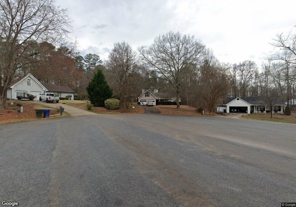
3070 Raymonds Dr Loganville, GA 30052
Estimated Value: $241,000 - $268,000
3
Beds
2
Baths
1,254
Sq Ft
$206/Sq Ft
Est. Value
About This Home
This home is located at 3070 Raymonds Dr, Loganville, GA 30052 and is currently estimated at $257,976, approximately $205 per square foot. 3070 Raymonds Dr is a home located in Walton County with nearby schools including Youth Elementary School, Youth Middle School, and Walnut Grove High School.
Ownership History
Date
Name
Owned For
Owner Type
Purchase Details
Closed on
Jun 10, 2009
Sold by
Hsbc Mortgage Services Inc
Bought by
Fox Sandy
Current Estimated Value
Home Financials for this Owner
Home Financials are based on the most recent Mortgage that was taken out on this home.
Original Mortgage
$81,243
Outstanding Balance
$51,386
Interest Rate
4.79%
Mortgage Type
FHA
Estimated Equity
$206,590
Purchase Details
Closed on
Jan 6, 2009
Sold by
Sligh Joseph R
Bought by
Household Realty Corp
Purchase Details
Closed on
Jun 15, 2001
Sold by
Carr John
Bought by
Sligh Joseph R
Home Financials for this Owner
Home Financials are based on the most recent Mortgage that was taken out on this home.
Original Mortgage
$103,500
Interest Rate
7.11%
Mortgage Type
New Conventional
Purchase Details
Closed on
Mar 23, 2001
Sold by
Hayslip Tammie D
Bought by
Carr John
Purchase Details
Closed on
Nov 20, 1992
Bought by
Hayslip Douglas M
Create a Home Valuation Report for This Property
The Home Valuation Report is an in-depth analysis detailing your home's value as well as a comparison with similar homes in the area
Home Values in the Area
Average Home Value in this Area
Purchase History
| Date | Buyer | Sale Price | Title Company |
|---|---|---|---|
| Fox Sandy | $70,000 | -- | |
| Household Realty Corp | $108,521 | -- | |
| Sligh Joseph R | $115,000 | -- | |
| Carr John | $93,500 | -- | |
| Hayslip Douglas M | $70,000 | -- |
Source: Public Records
Mortgage History
| Date | Status | Borrower | Loan Amount |
|---|---|---|---|
| Open | Fox Sandy | $81,243 | |
| Previous Owner | Sligh Joseph R | $103,500 |
Source: Public Records
Tax History Compared to Growth
Tax History
| Year | Tax Paid | Tax Assessment Tax Assessment Total Assessment is a certain percentage of the fair market value that is determined by local assessors to be the total taxable value of land and additions on the property. | Land | Improvement |
|---|---|---|---|---|
| 2024 | $375 | $82,440 | $20,400 | $62,040 |
| 2023 | $181 | $71,640 | $16,400 | $55,240 |
| 2022 | $356 | $65,640 | $13,600 | $52,040 |
| 2021 | $356 | $57,320 | $12,800 | $44,520 |
| 2020 | $362 | $44,480 | $8,000 | $36,480 |
| 2019 | $358 | $40,760 | $8,000 | $32,760 |
| 2018 | $358 | $40,760 | $8,000 | $32,760 |
| 2017 | $1,188 | $34,480 | $8,000 | $26,480 |
| 2016 | $348 | $32,440 | $8,000 | $24,440 |
| 2015 | $348 | $32,440 | $8,000 | $24,440 |
| 2014 | $359 | $29,160 | $0 | $0 |
Source: Public Records
Map
Nearby Homes
- 3457 Natalie Ct
- 3573 Plantation Place
- 3601 Youth Monroe Rd
- 1510 Pecan Plantation Ct
- 1304 Broadnax Mill Rd
- 3545 Brookview Dr
- 0 Brookview Dr Unit 10595786
- 0 Brookview Dr Unit 7642211
- 4060 Grove Trail
- 1746 Malachi Ct
- 1769 Brandi Ln
- 4010 Grove Trail
- 1729 Brandi Ln
- 3292 Greystone Dr
- 1206 James Walter Dr
- 3520 Tom Brewer Rd
- 3890 Nikki Ln
- 3229 Broadnax Mill Rd Unit 4
- 3080 Raymonds Dr
- 3060 Raymonds Dr
- 3490 Spring Valley Dr
- 3480 Spring Valley Dr
- 3081 Raymonds Dr
- 3448 Natalie Ct
- 3468 Natalie Ct
- 3050 Raymonds Dr
- 3585 Spring Valley Dr
- 3585 Spring Valley Dr
- 3071 Raymonds Dr
- 951 Alder Grove Trace
- 991 Alder Grove Trace
- 961 Alder Grove Trace
- 971 Alder Grove Trace
- 941 Alder Grove Trace
- 931 Alder Grove Trace
- 921 Alder Grove Trace
- 911 Alder Grove Trace
- 901 Alder Grove Trace