3070 Trolley Bridge Cir Quakertown, PA 18951
Milford-Quakertown NeighborhoodEstimated Value: $461,000 - $489,000
3
Beds
2
Baths
1,855
Sq Ft
$254/Sq Ft
Est. Value
About This Home
This home is located at 3070 Trolley Bridge Cir, Quakertown, PA 18951 and is currently estimated at $470,839, approximately $253 per square foot. 3070 Trolley Bridge Cir is a home located in Bucks County with nearby schools including Springfield Elementary School, Palisades Middle School, and Palisades High School.
Ownership History
Date
Name
Owned For
Owner Type
Purchase Details
Closed on
Dec 29, 2000
Sold by
Lech Stanley C and Lech Marian J
Bought by
Kiser Mark J and Kiser Margaret J
Current Estimated Value
Home Financials for this Owner
Home Financials are based on the most recent Mortgage that was taken out on this home.
Original Mortgage
$145,000
Outstanding Balance
$53,888
Interest Rate
7.64%
Estimated Equity
$416,951
Purchase Details
Closed on
Jun 11, 1980
Bought by
Lech Stanley C and Lech Marian J
Create a Home Valuation Report for This Property
The Home Valuation Report is an in-depth analysis detailing your home's value as well as a comparison with similar homes in the area
Home Values in the Area
Average Home Value in this Area
Purchase History
| Date | Buyer | Sale Price | Title Company |
|---|---|---|---|
| Kiser Mark J | $190,000 | -- | |
| Lech Stanley C | $66,000 | -- |
Source: Public Records
Mortgage History
| Date | Status | Borrower | Loan Amount |
|---|---|---|---|
| Open | Kiser Mark J | $145,000 |
Source: Public Records
Tax History Compared to Growth
Tax History
| Year | Tax Paid | Tax Assessment Tax Assessment Total Assessment is a certain percentage of the fair market value that is determined by local assessors to be the total taxable value of land and additions on the property. | Land | Improvement |
|---|---|---|---|---|
| 2025 | $5,605 | $34,560 | $6,280 | $28,280 |
| 2024 | $5,605 | $34,560 | $6,280 | $28,280 |
| 2023 | $5,536 | $34,560 | $6,280 | $28,280 |
| 2022 | $5,372 | $34,560 | $6,280 | $28,280 |
| 2021 | $5,269 | $34,560 | $6,280 | $28,280 |
| 2020 | $5,269 | $34,560 | $6,280 | $28,280 |
| 2019 | $5,210 | $34,560 | $6,280 | $28,280 |
| 2018 | $5,175 | $34,560 | $6,280 | $28,280 |
| 2017 | $5,096 | $34,560 | $6,280 | $28,280 |
| 2016 | $5,096 | $34,560 | $6,280 | $28,280 |
| 2015 | $3,616 | $34,560 | $6,280 | $28,280 |
| 2014 | $3,616 | $34,560 | $6,280 | $28,280 |
Source: Public Records
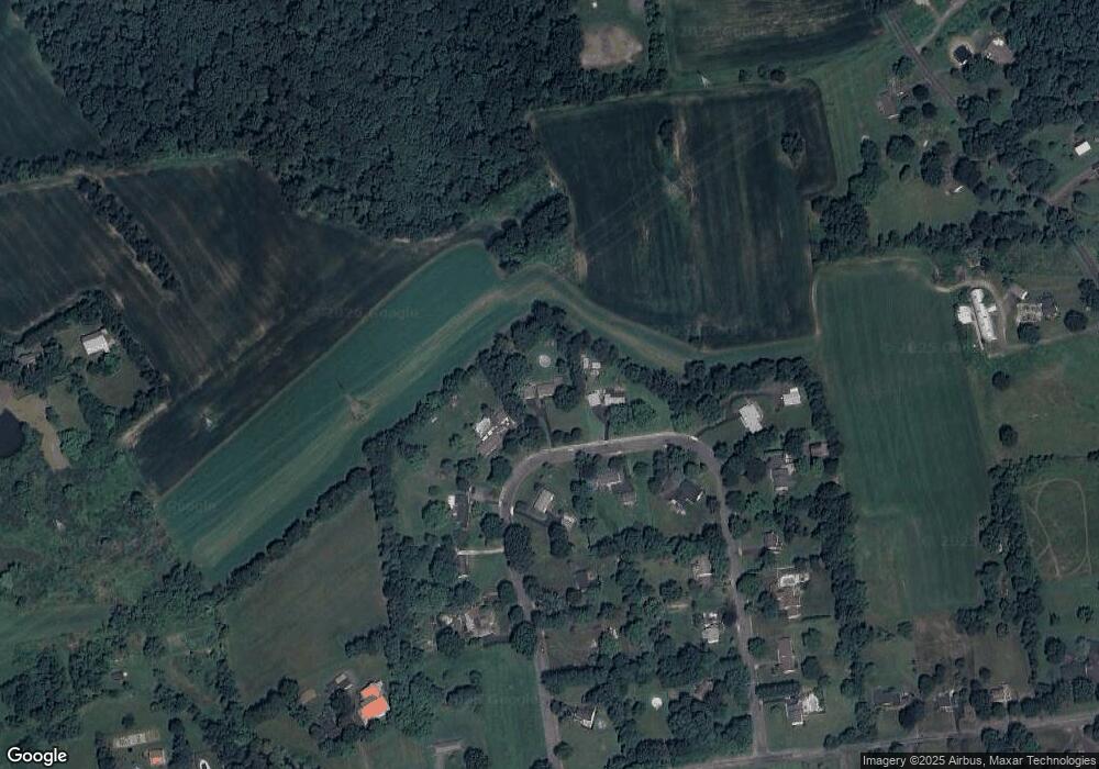
Map
Nearby Homes
- 0 Trolley Bridge Rd
- Lot 135-003 Trolley Bridge Rd
- 3421 Old Bethlehem Pike
- 7338 Grant Rd
- 6551 Blue Church Rd S
- 1525 Clay Ave
- 7555 Clayton Ave
- 2385 W Zion Hill Rd
- 7522 Clayton Ave
- 126 Ashford Dr
- 168 Ashford Dr
- 5871 Applebutter Hill
- 132 Ashford Dr Unit HOMESITE 0002
- 132 Ashford Dr Unit HOMESITE 0020
- 132 Ashford Dr Unit HOMESITE 0012
- 132 Ashford Dr Unit HOMESITE 0001
- 180 Ashford Dr
- 161 Ashford Dr
- 119 Ashford Dr
- 818 W Station Ave
- 3080 Trolley Bridge Cir
- 3060 Trolley Bridge Cir
- 3085 Trolley Bridge Cir
- 3045 Trolley Bridge Cir
- 3040 Trolley Bridge Cir
- 3095 Trolley Bridge Cir
- 3030 Trolley Bridge Cir
- 3090 Trolley Bridge Cir
- 3035 Trolley Bridge Cir
- 3020 Trolley Bridge Cir
- 3115 Trolley Bridge Cir
- 3100 Trolley Bridge Cir
- 3050 Trolley Bridge Cir
- 3110 Trolley Bridge Cir
- 3125 Trolley Bridge Cir
- 3120 Trolley Bridge Cir
- 3015 Trolley Bridge Cir
- 2210 Trolley Bridge Rd
- 3130 Trolley Bridge Cir
- 2160 Trolley Bridge Rd